Øyriket
Provided by:
Øyriket

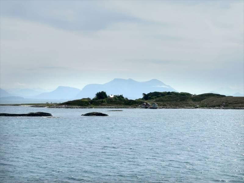
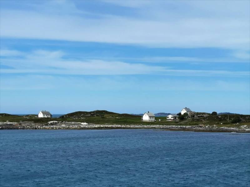
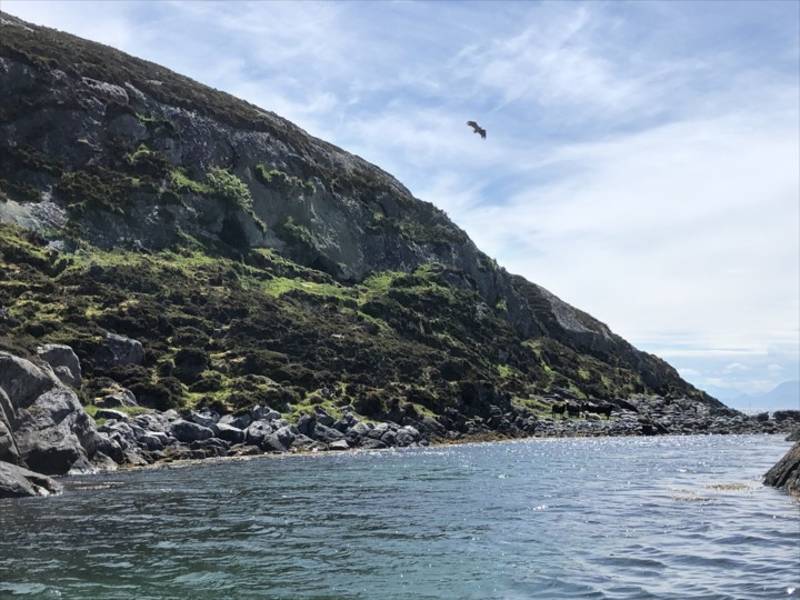
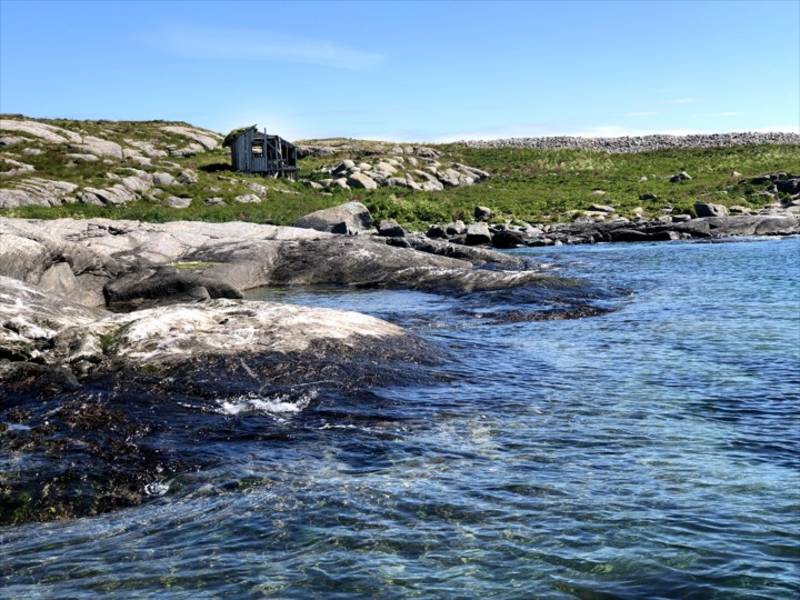
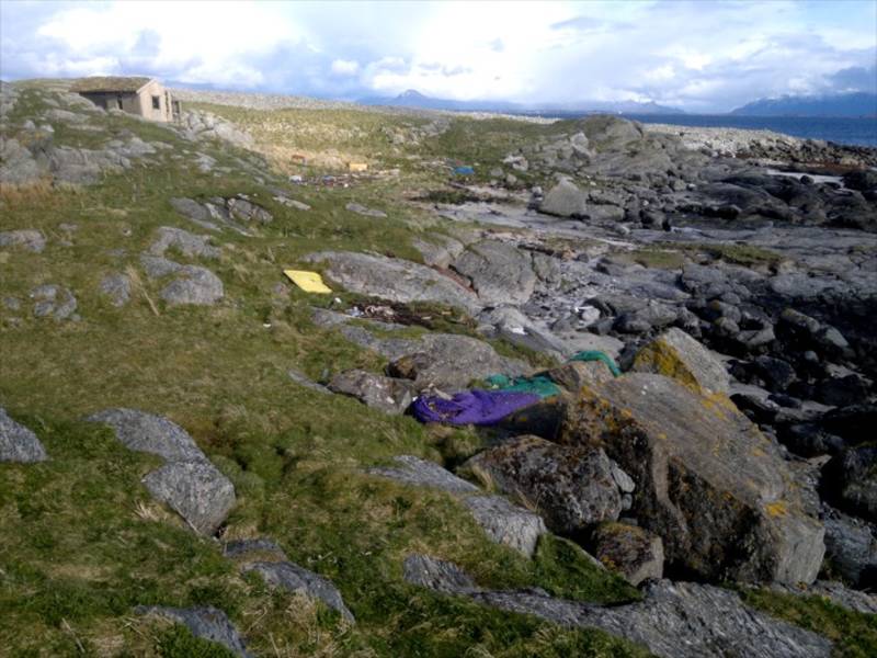
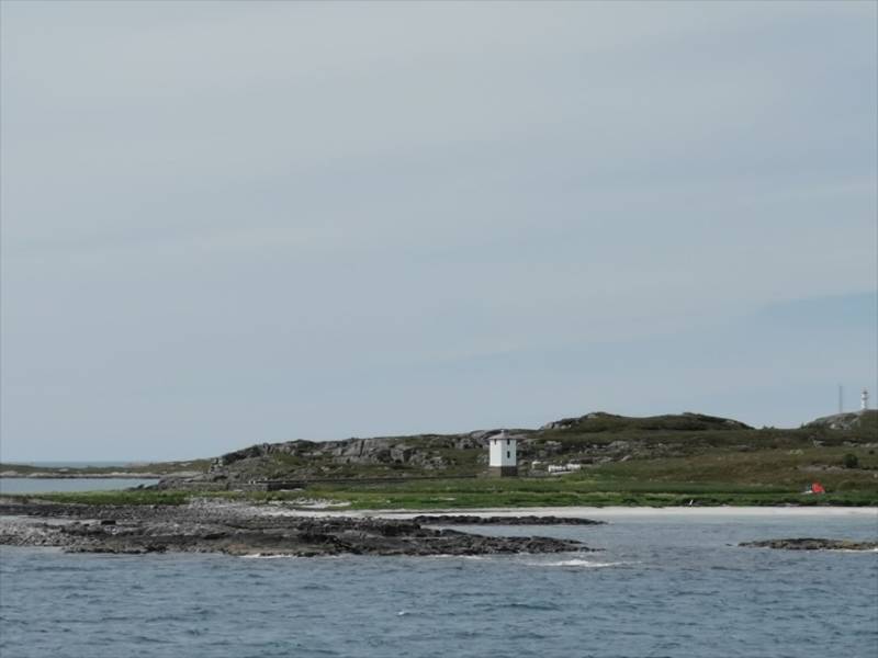
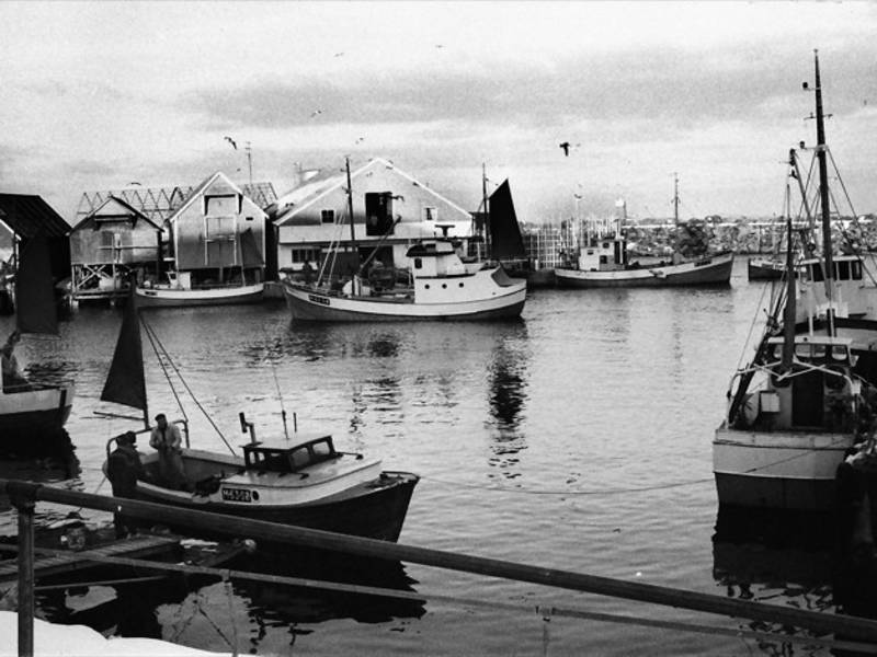
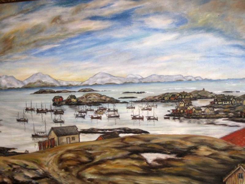
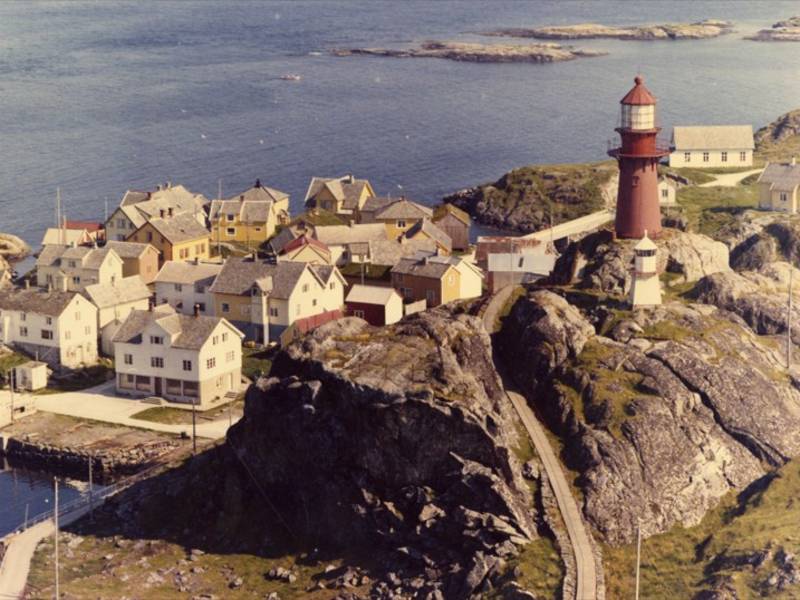
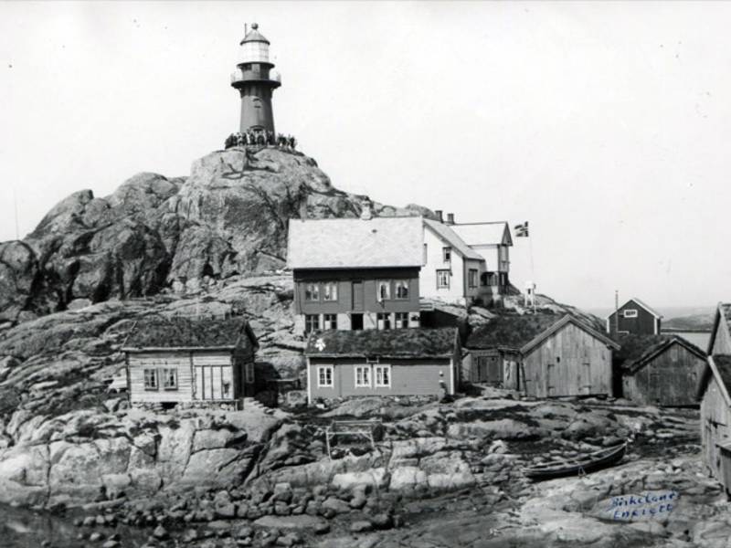
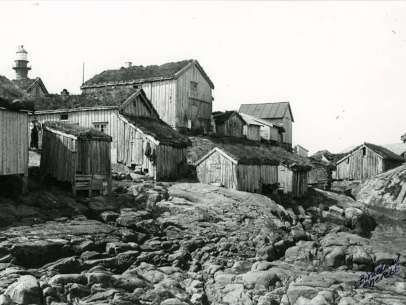
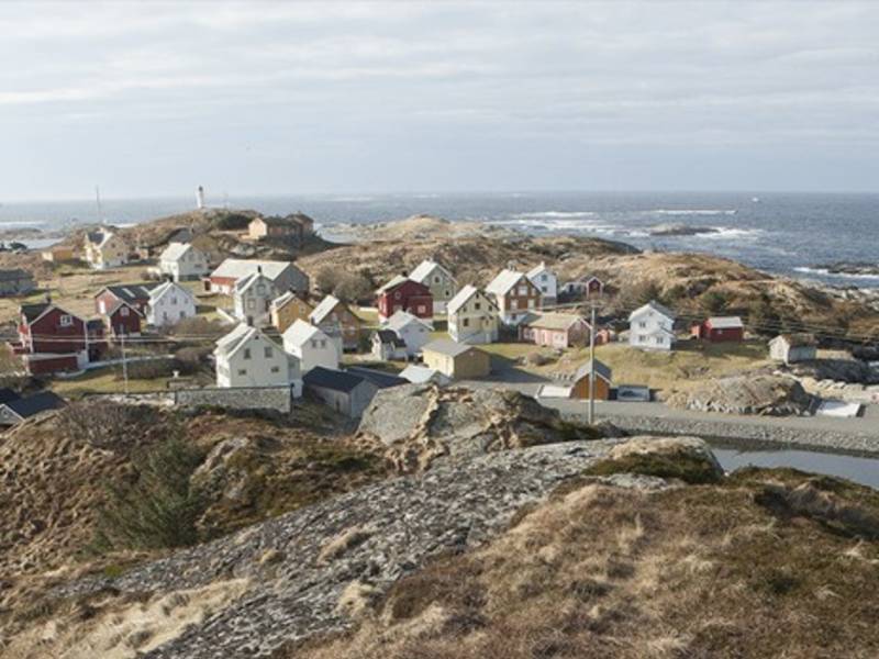
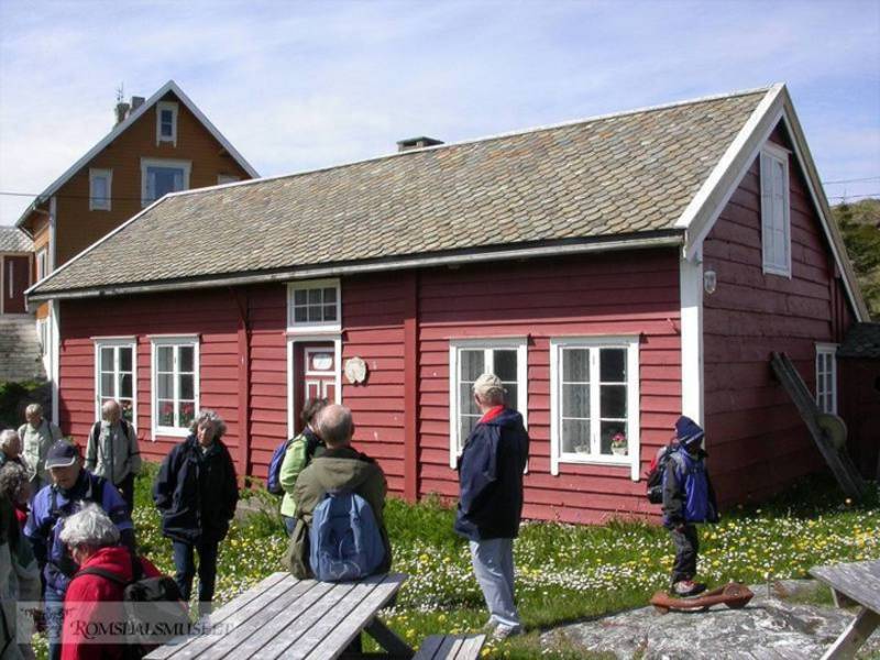
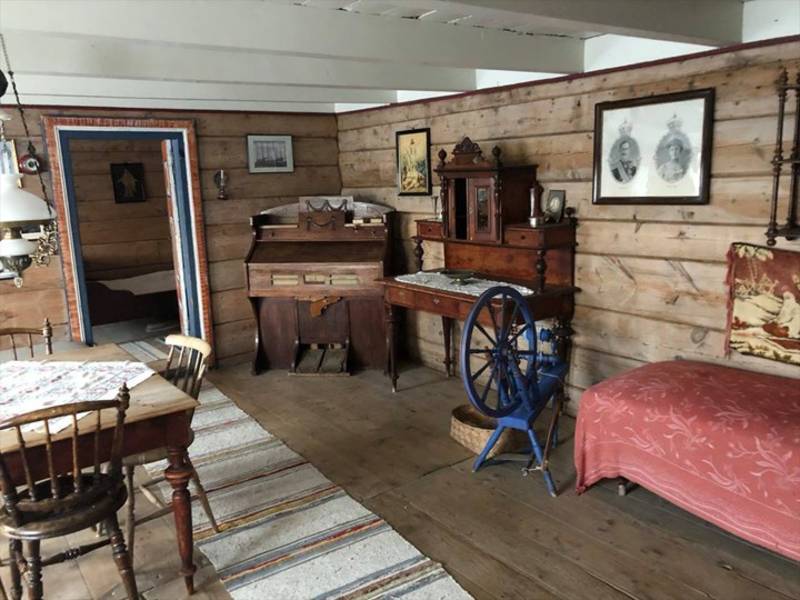
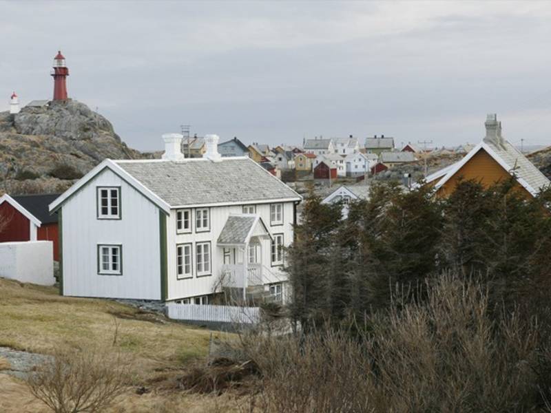
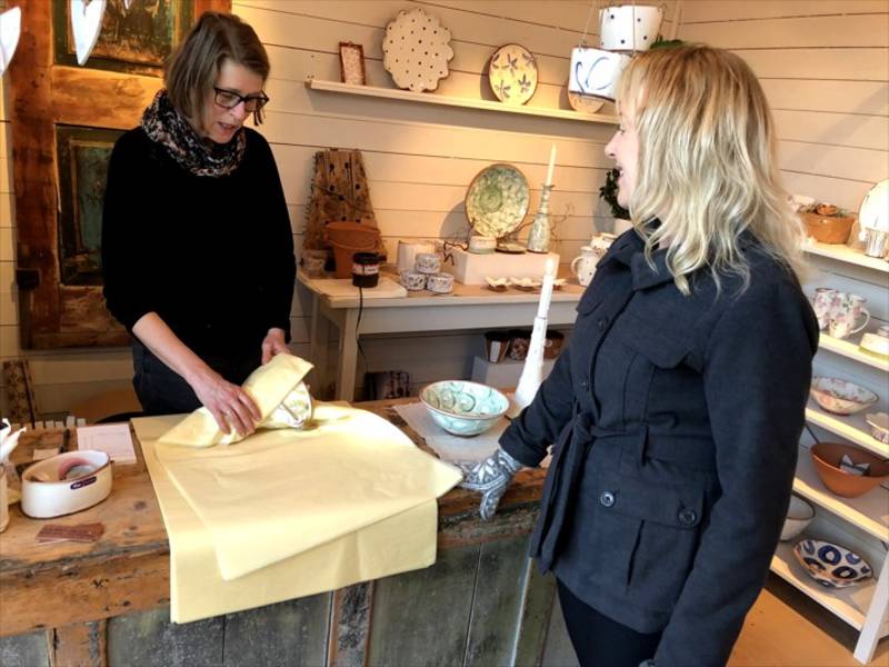
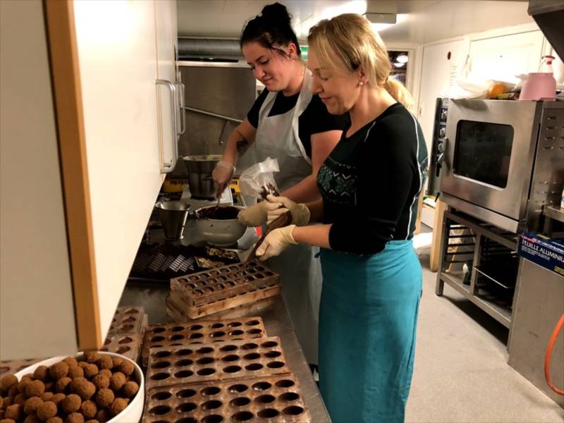
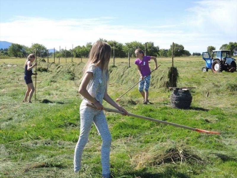
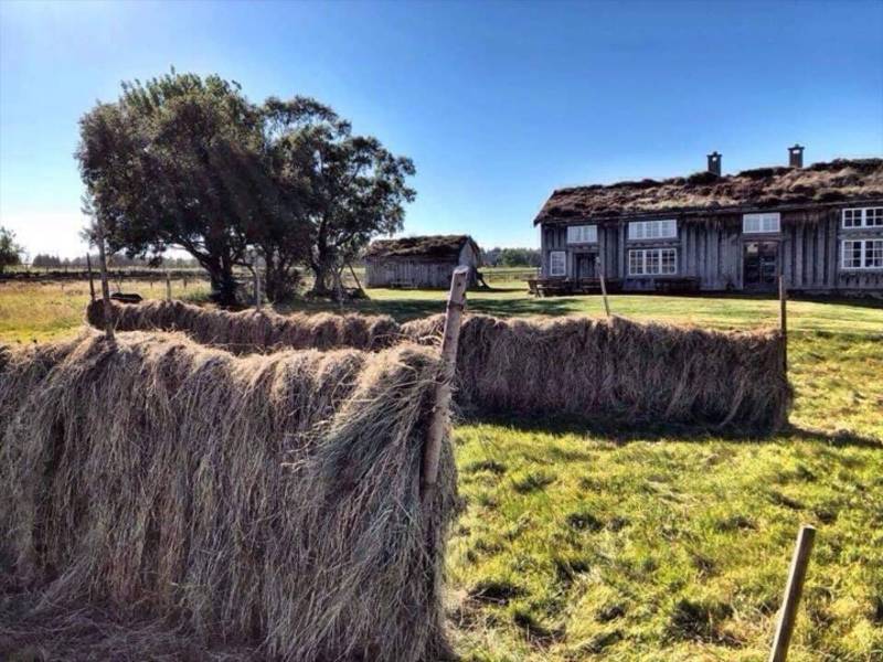
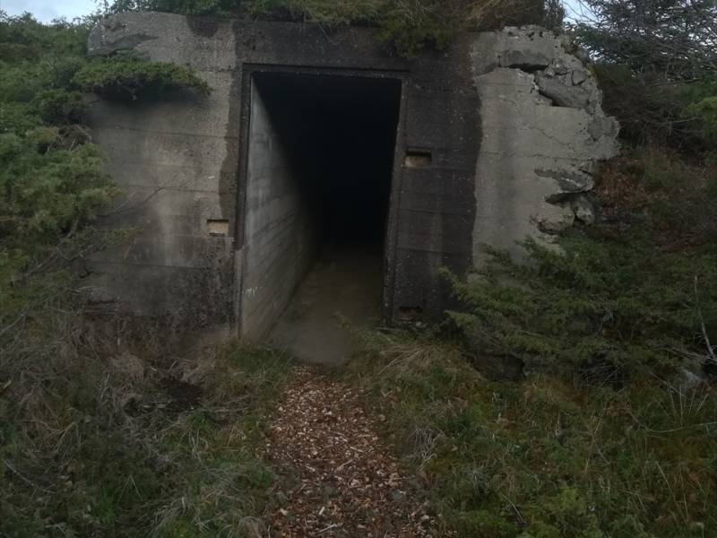
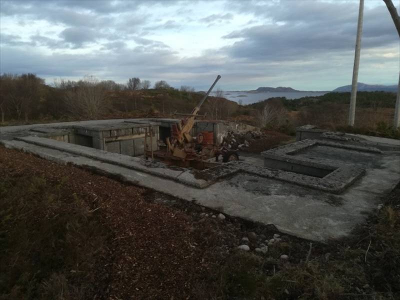
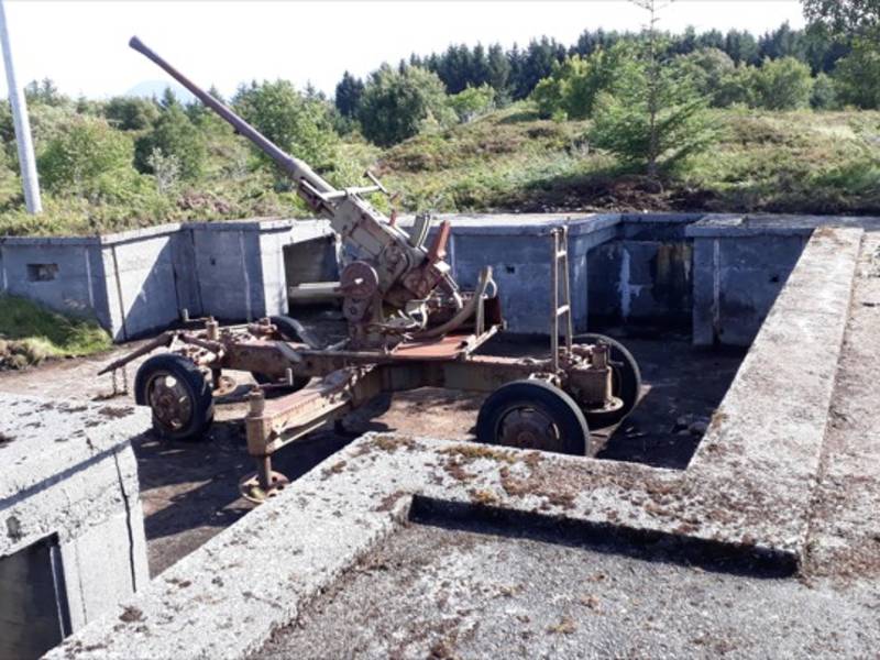
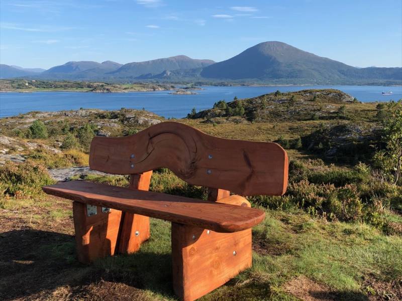
Real experiences - easily accessible. Made so that you will be able to experience the breathtaking atmosphere, the beautiful nature and a welcoming and hospitable host. - We welcome you to Øyriket i Romsdal! Sandøy, Aukra and Midsund - three separate exciting municipalities - but combined, a kingdom of islands!. Our call to you as a guest is simple; Take your time. We want you to experience all the treasures that have inspired the people who live here for a long time. The road to Øyriket i Romsdal is many, but all have a common denominator; You have to go out on the ocean blue. The ferries that take you out to the islands are an experience in themselves and will give you a taste of what is waiting. Lower your shoulders and let nature inspire you.
To find more content and listen to free audio guides, download the Voice of Norway app.