The ultimate driving guide on Sunnmøre
Provided by:
GuideToGo AS

With this audio guide you get stories from over 150 places and events on Sunnmøre! Drive carefully and enjoy the ride!

Provided by:
GuideToGo AS

With this audio guide you get stories from over 150 places and events on Sunnmøre! Drive carefully and enjoy the ride!
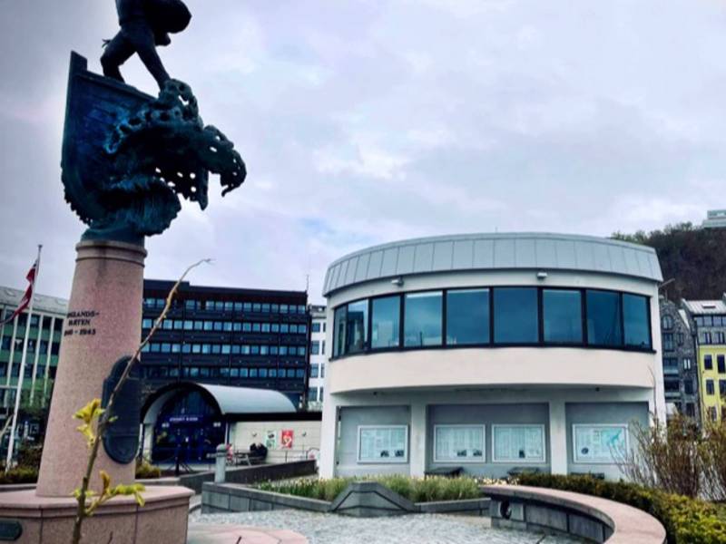
You are now arriving at Ålesund high-speed ferry terminal and Skateflua, which is a traffic hub in Ålesund. From here, a boat goes to Hareid and the neighbouring islands, and buses to whichever destination you choose. A stone’s throw away lies the ferry quay, the starting point for an exploration of a large portion of the beautiful Norwegian coastline. Walking right out of the terminal will take you straight into what is arguably Norway’s most beautiful town. The sight that greets you here is a mixture of Art Nouveau architecture and twisting waterways. The whole town was almost lost in the dramatic fire of 1904, but the determined citizens received help to rebuild it, stone by stone, in a style inspired by the Art Nouveau movement of the time. In the area around Skateflua, you will find several renowned restaurants and stately hotels, in addition to malls and shops. We recommend a trip with phone guiding around the harbours and Brosundet, whether you’re interested in the history of the town, the best routes for children, or war history.
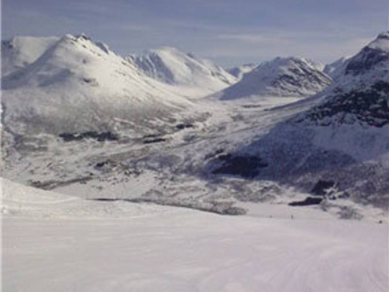
You will soon be passing the turnoff to Stordal Alpine Center at Overøye. The center offers a challenging terrain of both groomed slopes and freeriding areas. There is a carpet lift for kids, and a flat and easily overviewed terrain. The area also offers groomed trails to the lakes Storvatnet and Litlevatnet where the ice fishing is excellent. The resort has a heated cabin where food is served, and the entire length of the trail is floodlit. Overøye is also great base for hiking in summer. Easy trips to Langsæter and Fokhaugstova can safely be recommended for the whole family.
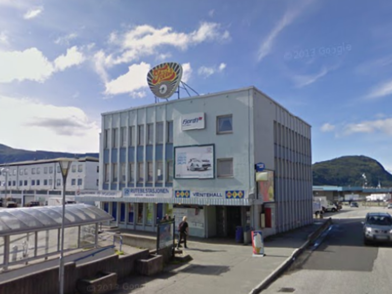
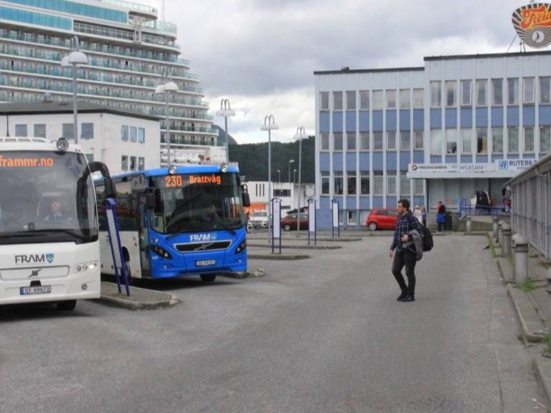
(Photo: bypatrioten.com) From Ålesund Rutebilstasjon (Bus station) you can jump on one of the many buses to transport you both near and far. Especially popular are the many tours with the FRAM buses. These will take you to unique nature, and places you just have to experience. Download one of the audio-guided routes, and experience the amazing region in a new way.
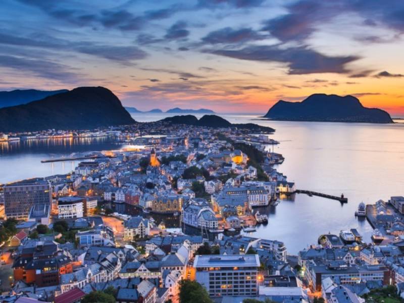
(Photo: iStock.com) Ålesund is the largest town in Møre og Romsdal. The town is one of the world's main exporters of dried and salted cod and is internationally renowned for its characteristic architecture — a result of the catastrophic fire in 1904 which destroyed almost the entire town centre. More about this in Jugendstilsenteret. Today, Ålesund's population is growing, and is expected to surpass 50,000 inhabitants in a few years.


The area we are now passing is a hub for local boat traffic. We find ourselves right between Breidsundet, Valderhaugfjorden, Heissafjorden (leading into Borgundfjorden) and the inlet to Sulafjorden and Storfjorden. From this point, you can access the whole of Sunnmøre, or the rest of our magnificent planet, if you so wish. The county of Møre and Romsdal contains 88 of the country’s 1732 named fjords. The innermost part of Storfjorden becomes the Geirangerfjord, where the waterfall ‘Frieren’ proposes to the ‘Seven Sisters’. This fjord is on Unesco’s world heritage list for culture and nature. There has been boat traffic here since man first mastered the seas. During the Viking Age, longships and ‘knarrs’ (merchant ships) frequented Borgundkaupangen in Ålesund. In the museum there, you can see a faithful reproduction of a Viking ship. During WW2, the Germans positioned batteries at Hessa and Hareidlandet in order to defend the area.
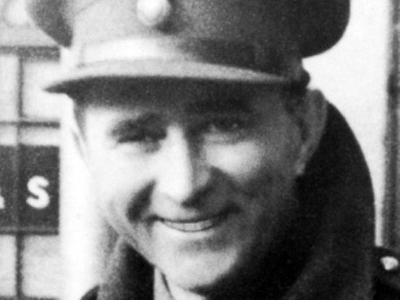
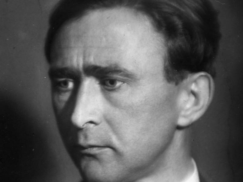


(Photo: wikipedia, okkupasjonen.no, forsvaret.no) Martin Jensen Linge, born in 1894 at Lingering in Norddal, was a Norwegian actor and army captain. He was the leader of some of the first Norwegian Forces in Britain during WW2. Later they became known as Company Linge. He led the Norwegian troops during the raid on Måløy, December 28, 1941, and was shot and killed on the stairs of Ulvesund Hotel in Måløy. He became known through the poem, "Martin Linge", by Nordahl Grieg. Linge was in 1942 posthumously awarded the Military Cross. Troops from Company Linge participated in raids along the Norwegian coast in 1941 and 1942. They conducted a series of sabotage operations. Among the most famous was operation against Vemork in Telemark, and several acts of sabotage against the Thamshavn Railway in Trøndelag. Troops from the company also established a number of resistance cells in Norway. In 1945 there were 64 cells communicating with Great Britain via secret radio stations. During the war 530 Norwegians served in Company Linge. 57 of these were killed in action. Some of the operations Company Linge executed during the war are now used to name units in the National Guard.
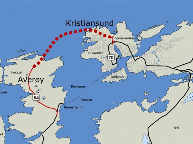
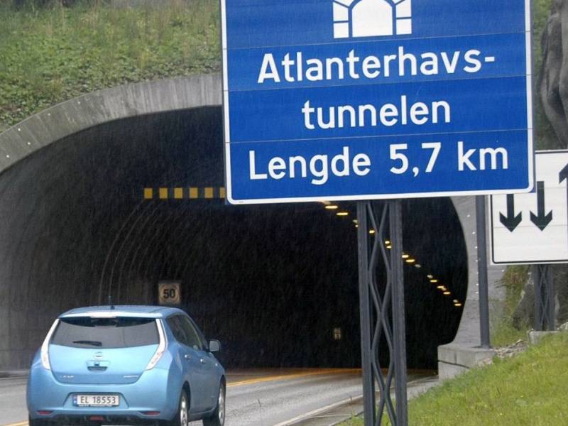
Photo: tk.no You are now most likely on your way either up or down the Atlantic Ocean Tunnel which is an undersea tunnel in the region of Nordmøre. The tunnel first opened in December 2009 and connects Kristiansund to Averøy, along County Road 64. Before the tunnel opened, there was a ferry connection between the island and Kristiansund. The tunnel is 5,780 meters long and 250 meters deep, with a 10% gradient at its steepest.
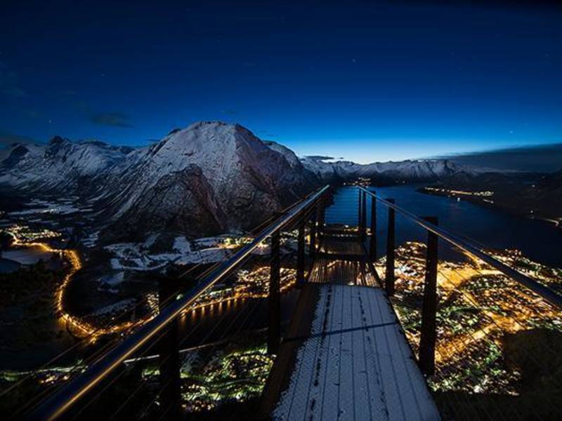
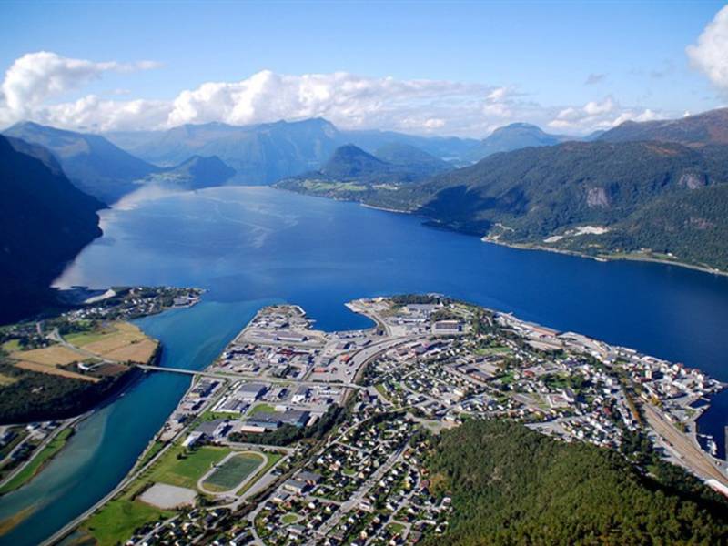
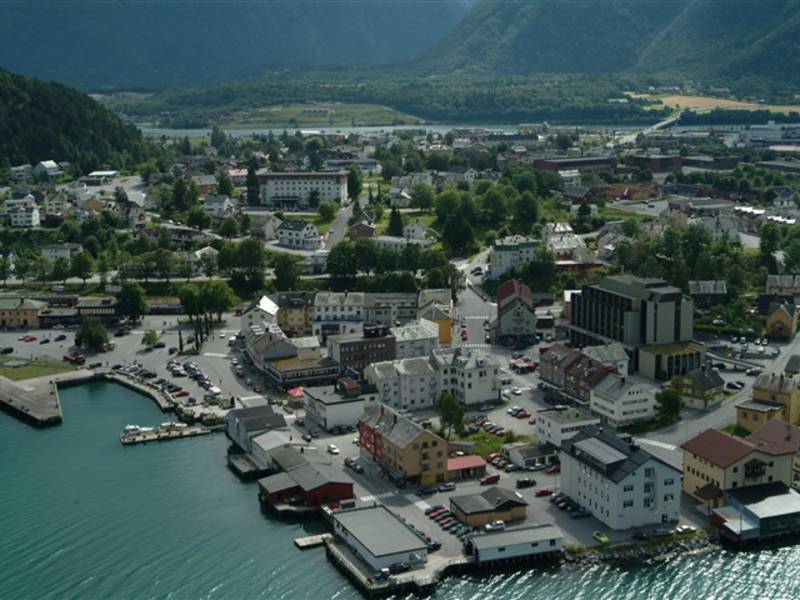
Here, surrounded by majestic mountains, deep and lush valleys and emerald green rivers, lies Åndalsnes, or Tindebyen which is full of spectacular experiences. The town was also at the centre of one of the second world war’s largest battles, during which the whole of Norway’s gold reserve was at stake. In dramatic fashion, Norwegian and English soldiers together with hundreds of heroic volunteers managed to save the Norwegian gold and cash reserves, whilst howling German bombs squealed around them leaving the whole town in ruins. Both the town and the steadfast people rose up again and to this day exist as a hub between the fantastic Norwegian mountain experiences both in Summer and Wintertime. The idyllic fjord centre has all you need and more. We recommend the spectacular walk up the Romsdalstrappene to the Rampestreken viewpoint, which literally hangs out 8 meters in the air, giving you an eagle’s eye view over Åndalsnes and the beautiful Romasdal fjord. On your way down again we recommend taking the award winning Romsdal Gondola for all of you without a fear of heights. And if you should hear some rough guitar riffs or some banging dance tunes, then maybe Raumarock or another of Åndalsnes’ famous music festivals is taking place.
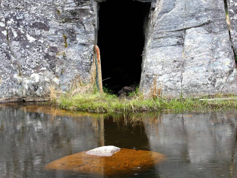
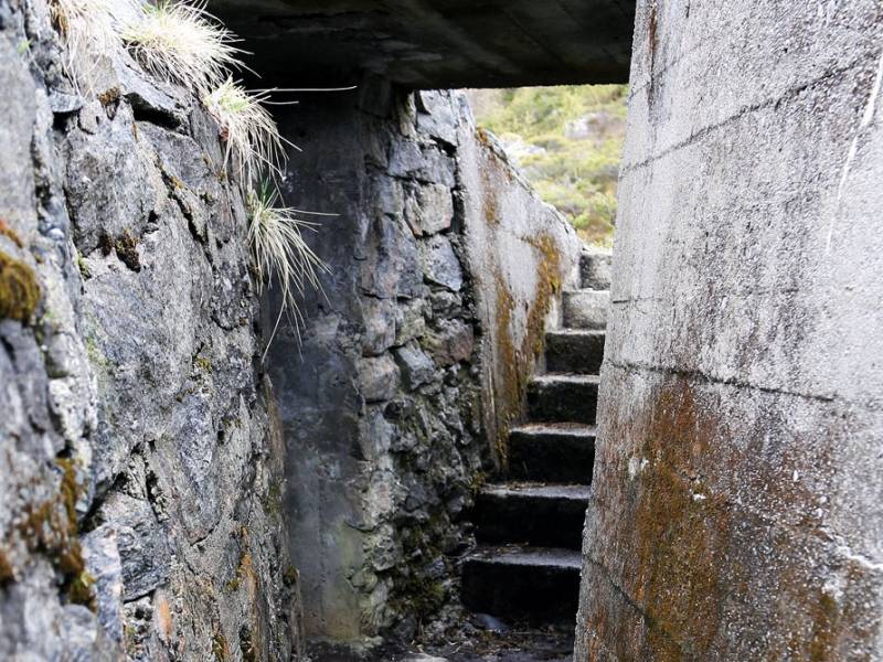
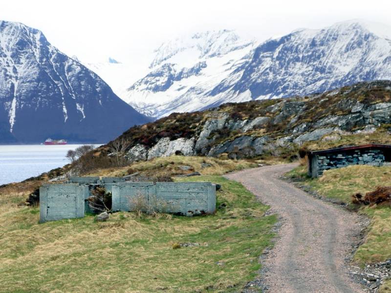
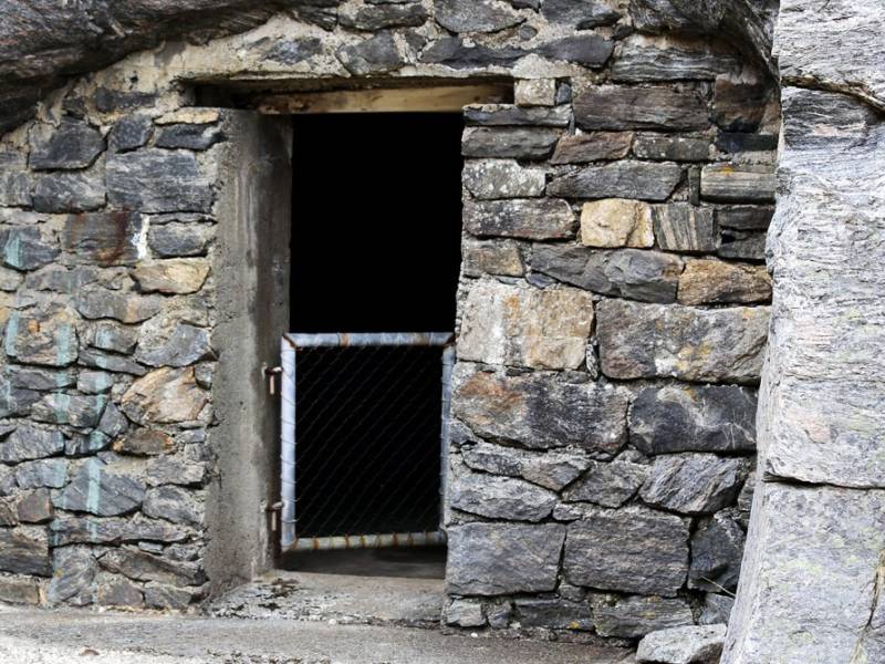
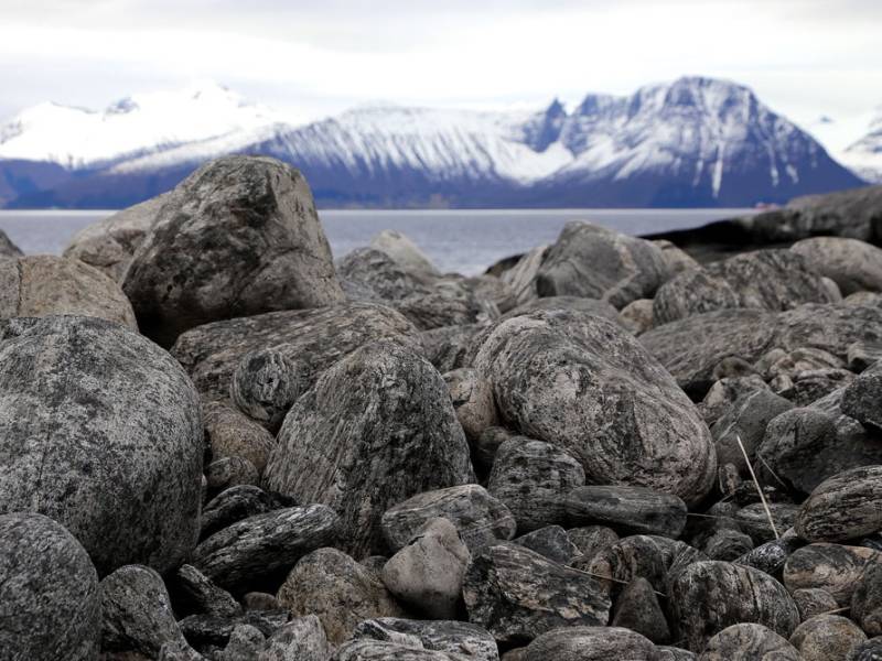
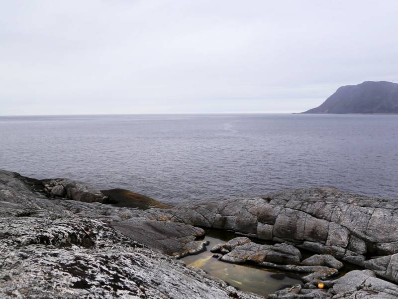
We are now passing Kvitneset battery at Hareidlandet. The German occupation of Norway during World War II brought the war to the Norwegian people, and has left traces in folk memory and on the landscape. In Hareid, the Germans built fortifications at Kvitneset. These were fairly extensive structures, and included, among other things, 9 gun enplacements, 19 barracks, 4 bunkers and much more. Building work started in the spring of 1941, and at its height there were 140 men working here. Many Norwegians were employed in building the fortifications - unemployment had been high in Sunnmøre before the occupation, so the opportunity to earn money proved too tempting for many. More than 50 people were convicted of abetting the occupying forces in trials after the war. From 1942, Russian prisoners of war were used as forced labour at Kvitneset. A prison camp with 4 barracks was built just south of the fortifications, where up to 105 prisoners lived during the construction period. The fortress was part of 'Festung Norwegen', which was in turn a part of the Atlantic Wall defences that stretched along large parts of the European coast facing the Atlantic Ocean, from the North Cape to the Bay of Biscay. Today, most of these positions are still visible despite some being ruined and overgrown. Today, the area is a popular hiking area that also provides pasture for sheep. At Kvitneset you can experience history, nature, sea air and fantastic sunsets, and watch the big waves rolling in from the ocean on stormy days.
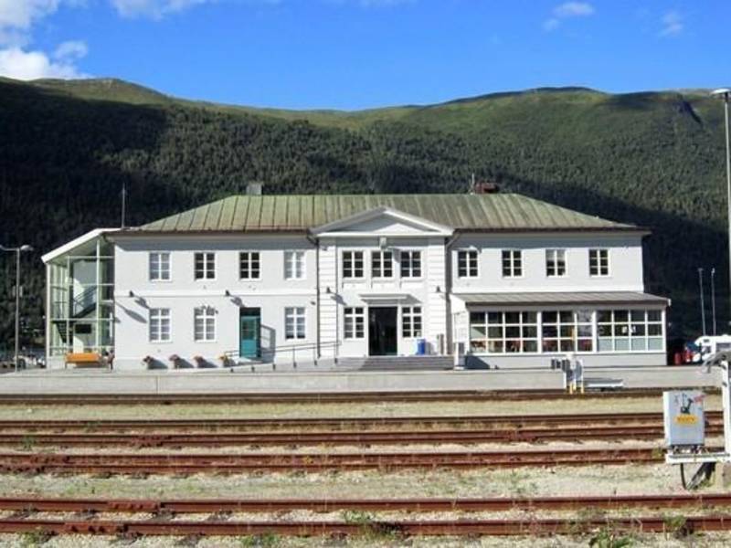

Raumabanen - the Rauma Railway - is the only railway serving stations in Møre og Romsdal. This railway runs between Dombås and Åndalsnes, and is 114 km long. (Dombås station is also served by the Dovre railway.) There are six stations on Raumabanen. The railway was opened in 1924. The journey from Dombås to Åndalsnes takes about an hour and a half. The Raumabanen train takes you into a dramatic fairytale landscape. Among other sights, the train passes beneath Trollveggen and Romsdalshorn. The train runs over a renowned bridge called ‘Kylling bru’ (Chicken Bridge), which forms an arch over the river Rauma at a farm called Kylling. The bridge represents a pinnacle of engineering for its time. It is in solid stone and is 76 metres long with a main span of 42 metres. The stone used in the bridge was quarried from a mountain nearby. When Norway was occupied by Germany in April 1940, it became a matter of urgency to move Norway's gold reserve out of the country and into safe hands. The gold was transported from the Bank of Norway in Oslo to Lillehammer in lorries. From there, the gold went by freight train to Åndalsnes. The Rauma Railway had a leading role in the rescue of Norway's 49 tonnes of gold. Åndalsnes station was opened in 1924 when the Raumabanen railway was completed. In addition to regular regional trains, there are tourist trains in the summer between Dombås and Åndalsnes. Since its opening, the railway has been very popular with tourists from abroad.

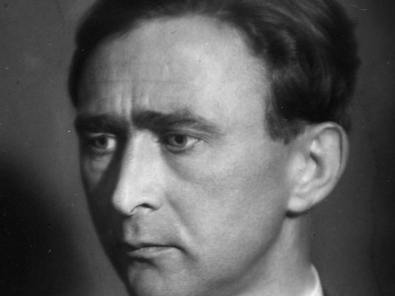
Linge is a village with a ferry connection between Åndalsnes and Geiranger. It is situated by Norddalsfjorden which is part of the fjord landscape between Storfjorden and Geirangerfjorden. The place is one of the northernmost with climatic conditions that allow fruits and nuts such as walnuts and peaches to be grown, but it is perhaps most well-known thanks to Martin Linge, the actor and member of the Resistance during World War II who grew up here. You can also see here a memorial dedicated to him. Eidsdal - Linge is a ferry connection on county road 63 and crosses Norddalsfjorden. The trip is 2.7 kilometres long and takes about 10 minutes. At Linge ferry terminal, there is a connection between county roads 650 and 63.

Several decades before sports angling became popular in the Rauma area, stories are told about the English Lord Beresford and his friend William Bromley-Davenport who came to Veblungsnes on the yacht Coral Queen a day in June 1849. As soon as they saw the estuary of the Rauma river they visited the post master to inquire about the possibilities for salmon fishing. They were advised to move up the river, to Fiva, which at the time was owned by a young girl, Marianne Løchra. In a letter to his father, Willaim describes his experiences from fishing in Rauma: "…after 14 pleasant days by Romsdalsfjorden, where we in a river called Rauma caught nearly 330 salmon - an enormous quantity, and more than has ever been caught here even with a fishing net over a whole summer. It is strange that these people don't learn fly fishing, since their existence is almost entirely dependent on the fish they catch. As we gave away almost all the fish, except what we needed ourselves, we were welcome quests, and a large number of these poor farmers gathered around us and screamed with joy as we pulled salmon after salmon out of the river. They though it was some kind of magic. Many of them assured us before we started that it was impossible to catch this big salmon with such simple equipment and angles." William later returned to Romsdalen and established a home here by buying Fiva in 1862. To this date, Fiva is owned by his successors, carrying his name.
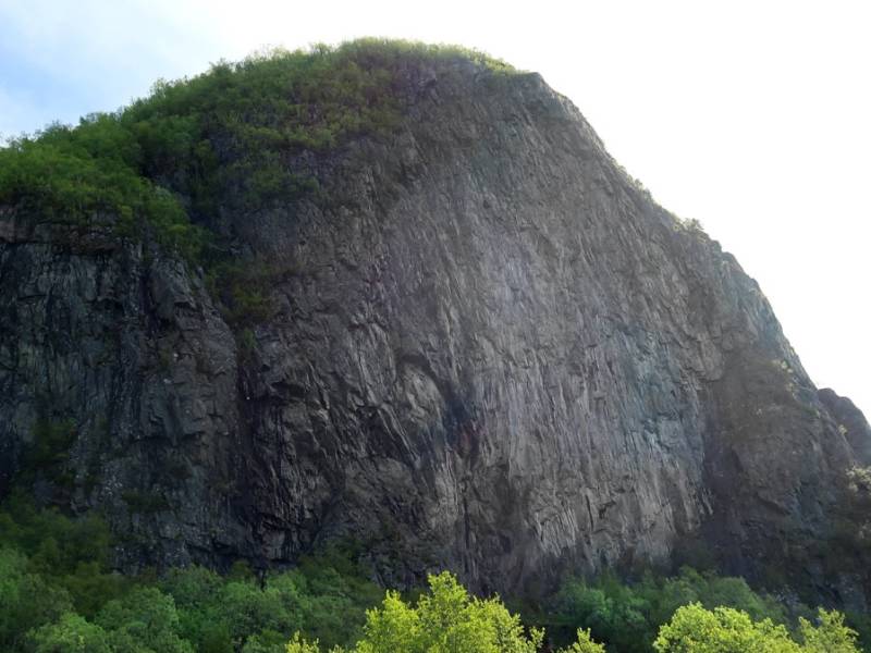
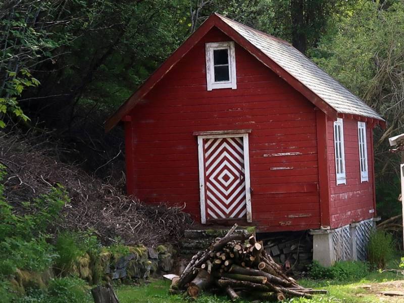
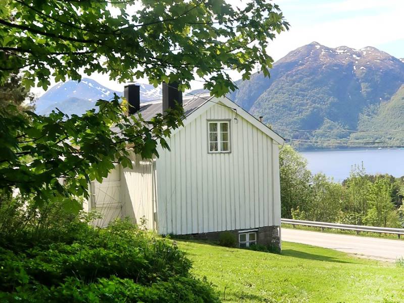
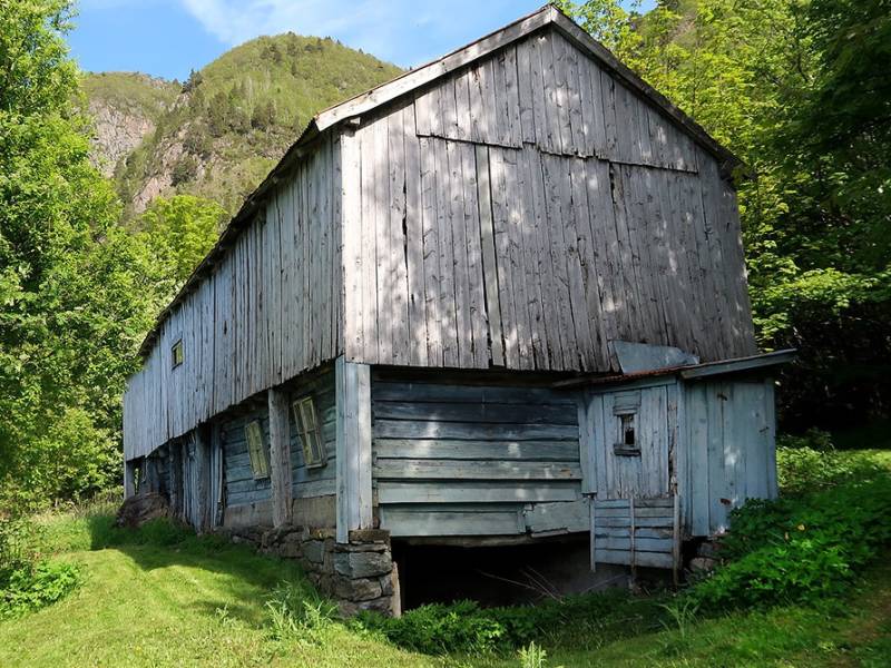
We are now passing Gauset, a small hamlet of only a few dwellings. People have lived here, however, for thousands of years. Finds of flint and several arrowheads have been made, indicating that people have been present here since the Stone Age. The name comes from the river that flows here, Gausetelva. 'Gaus' from 'flowing water', and 'set' from 'place of residence', ie. a place of residence by the river. 'Set' is a common ending in place names - in Molde there are 11 such place names, and in Norway as a whole there are 900. In the past, flocks of goats grazed on the mountain slopes here, which is reflected in the names of several areas around Gauset, such as Bukkaksla (from bukk, or buck) and Geitastauo (geit, or goat). The goats had a destructive impact on the forests, and were wiped out a couple of centuries ago by farmers. A similar cull happened throughout the country, reducing the total number of goats by several hundred thousand over the past century to just over 50 thousand today.

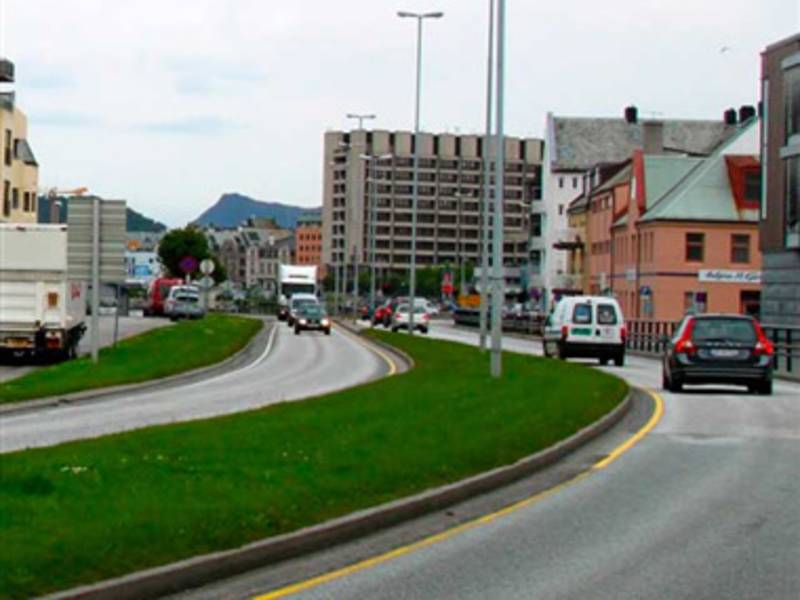
This is the main road in and out of Ålesund centre and consists of Aspøya and Nørvøya. Along the way, you will find the Color Line Stadion, the home ground of Aalesund Football Club.
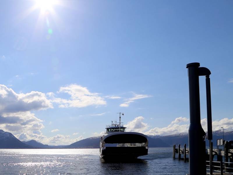
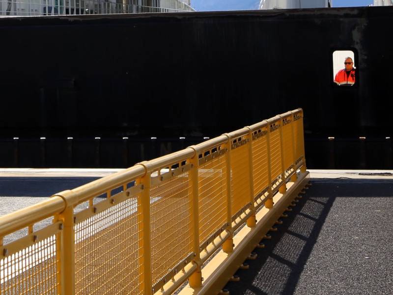
You can probably see one or two ferries on the fjord right now. Between Hareid and the Sulesund ferry quay at Sula, there are two to three ferries plying these routes at all times. Since ancient times, the Norwegians have been a seafaring people. Today, people in western and northern Norway are particularly dependent on car ferries, as the fjords cut deep into the landscape and make it impossible - or at least difficult - to travel directly up or down the coast. Especially in Western Norway, where there are so many long fjords, travelers depend on the ferry to get around. In this fjord alone, there are at least 6 ferry routes, if one includes the smaller fjord inlets. Most ferries and speedboats run so often that queueing is rarely an issue. In addition to regular ferry services, several boat companies offer fjord cruises. A ferry trip on the idyllic fjords of Sunnmøre is a unique experience. There are about 130 ferry connections in Norway, and ferries are a major part of the Norwegian transport system. 20 million vehicles and 40 million passengers are transported annually on Norwegian car ferries.
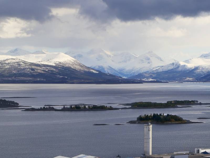
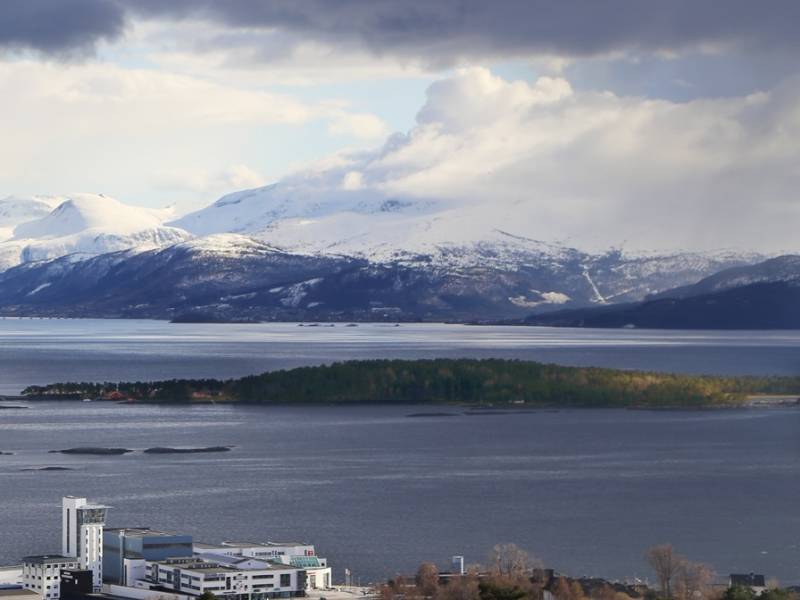
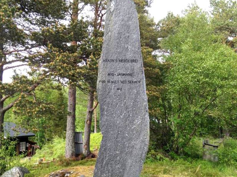
We now set off along Moldefjord. This is the part of Romsdalsfjord that goes all the way to Åndalsnes. The fjord connects Romsdal and Sunnmøre via several ferry routes. On the fjord here, by the island of Sekken, a large sea battle once took place. Several thousand took part, and well over 500 people lost their lives. In the year 1162, during the High Middle Ages, civil war raged in Norway, and the child kings Håkon Herdebrei and Magnus Erlingsson fought for dominance. Håkon Herdebrei was considered king until this particular battle took place. He was the illegitimate son of King Sigurd Munn, who had died in 1155, handing power to Håkon, then only ten years old. Magnus was the son of Erling Skakke, and was only five years old when the battle took place. His men came with 21 ships and several thousand men from Bergen, surprising the fleet of Håkon Herdebrei, which comprised 14 ships and approximately 1500 men. In the bloody battle that ensued, King Håkon Herdebrei, then 15 years old, was killed. Erling Skakke and his son Magnus then travelled onwards to Trondheim, where Magnus Erlingsson was hailed as king, at only five years old. There is a monument on Sekken in memory of the battle. Every year, there is an organised walk to mark the event. There is also a monument on Veøya.
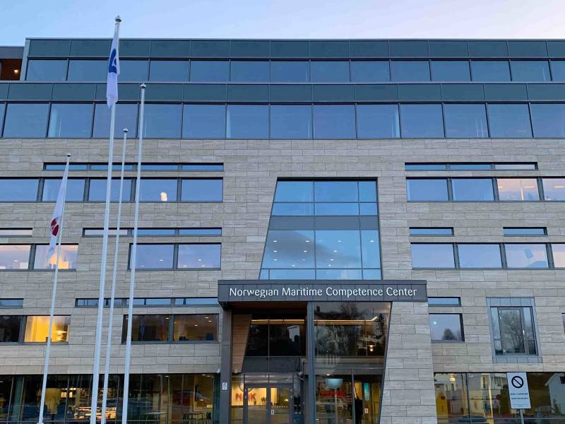
Ahead of us is the region’s hub for education, research, and business development, Campus Aalesund. A high school and the Ålesund campus of Norway's largest university on one side of the road, and global companies on the other side paves the way for interaction between theory and practice. NTNU has mainly a science and technology profile, a variety of programmes of professional study, and great academic breadth that also includes the humanities, social sciences, economics, medicine, health sciences, educational science, architecture, entrepreneurship, art disciplines and artistic activities. Norwegian Maritime Center of Comptetenece - NMCC - aims to be one of Norway’s most important meeting places for innovation, competence and development. NMCC cooperates with a number of organizations both inside the NMCC building and outside to create more knowledge, innovation, development, and growth in the Sunnmøre region.

The Gjemnessund Bridge is a 1257 metre-long suspension bridge over Gjemnessundet, and is part of the E39. The bridge starts at Bergsøya, at the far end of Tingvollfjord. Bergsøya is the largest island in the municipality of Gjemnes. The island's highest point is Brannhaugen, which is 284 meters above sea level. There was previously only a ferry connection to the mainland. Since Kristiansund's mainland connection, Krifast, was opened in 1992, Bergsøya has become the region's traffic hub. The Freifjord Tunnel, the Bergsøysund Bridge and the Gjemnessund Bridge all extend from here. Gjemnessundbrua was Norway's longest suspension bridge until the Hardanger Bridge was opened in 2013. Its main span is 623 metres. It has a clearance of 43 meters, which means that quite large ships can sail under it. There are bird nests on all 21 spans. Black-legged kittiwakes have made it their home, so they evidently think the bridge is a suitable place to rear their young. Black-legged kittiwakes are medium-sized gulls recognisable by their black wing tips. Their droppings cause damage to the concrete, so the highways department has tried to deter the birds from nesting. This proved an impossible task, so modifications were made to allow the birds to keep breeding here. An elastic membrane has been laid over the concrete to protect it from their droppings.
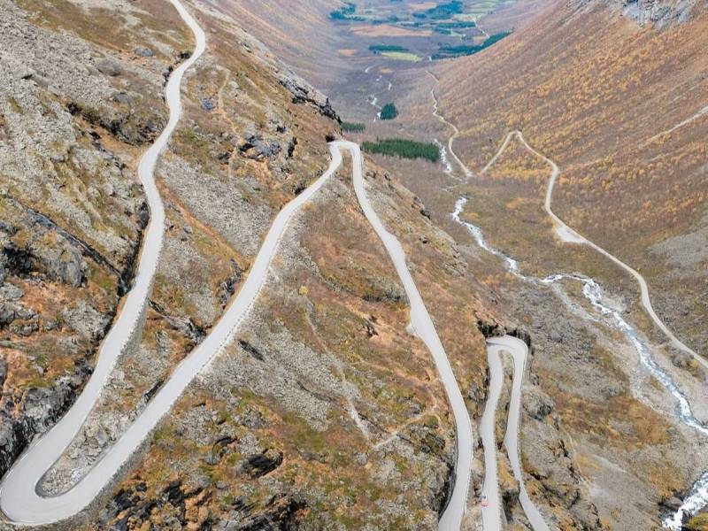
Trollstigen ('The Troll Ladder') ; is made up of eleven hairpin bends on county road 63 at the end of Isterdalen valley in the Rauma municipality. The Trollstigvegen road connects Valldal in Sunnmøre to Romsdalen and Rauma. The road is only open during the summer, usually from mid-May until the first snowfall in the autumn. After being under construction for almost eight years, the road was opened by King Haakon VII on July 31st 1936. The road was constructed following approximately the same path as a more ancient path called Kløvstien. This old traffic artery between Romsdal and Sunnmøre has been restored and signs have been put up, including signs indicating the footpath. The biggest challenge was the steep gradient at the edge of Isterdalen where the road zigzags its way up to Stigrøra. The eleven hairpin bends each have a radius of about 10 meters. Below the 180 metre high Stigfossen waterfall there is a bridge, and when the water flow is high, water splashes across the bridge. Because of repeated rock avalanches, especially in the winter, and parts of the road being destroyed, part of the road was rerouted in 2005. Two new bridges had to be built across the river Istra. The Trollstigvegen road is one of Norway's most visited tourist attractions. At the summit of Stigrøra, there is a large car park and a viewpoint.
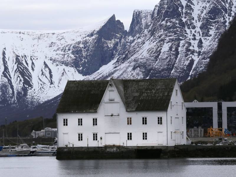

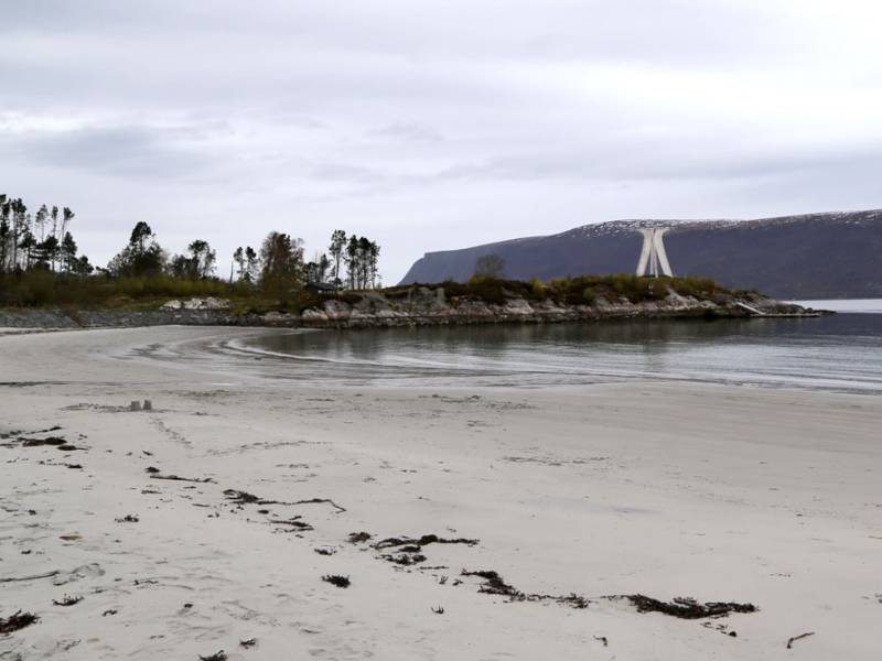
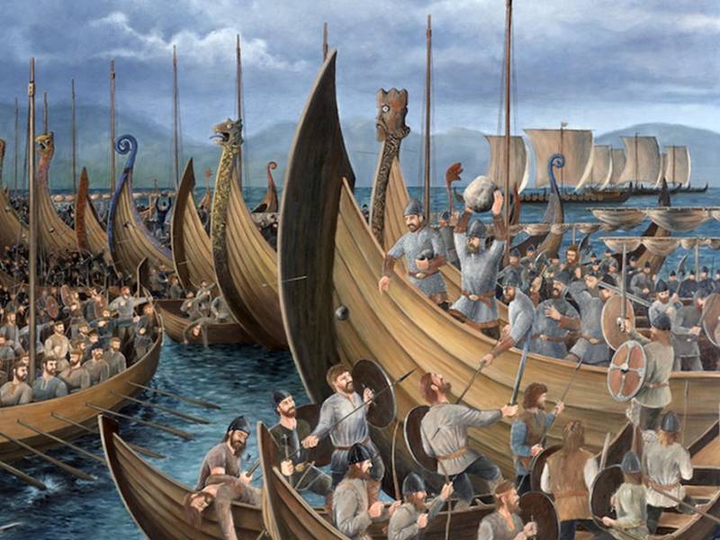
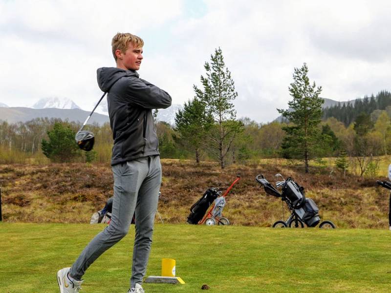
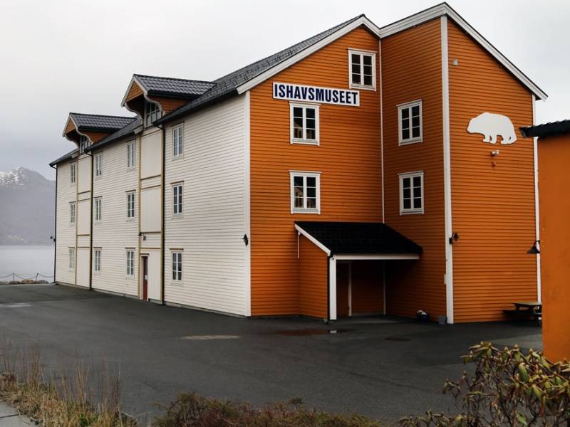

You are now in the centre of Hareid. The municipality of the same name is one of two municipalities on the island of Hareidlandet, and is home to well over 5,000 inhabitants. Most of them live in the idyllic villages of Hareid, Hjørungavåg, Bigset or Brandal. Here you will find a beautiful, varied coastal landscape, exciting history, one of the most beautiful beaches in Sunnmøre and lots of friendly people. Hareid has a rich history. A number of prehistoric finds have been made, dating all the way back to the Stone Age, and dramatic Viking history took place here, including the battle of Hjørungavåg. Brandal is home to the Arctic Ocean Museum, which relates the proud Arctic history of the village. Kvitneset, at the mouth of the fjord, is interesting historically - the Germans built coastal defences there with the help of Russian prisoners of war during World War II. The area has a diverse business community with close links to maritime industry. Voluntary organizations contribute significantly to the rich cultural and outdoor life of the area, to the benefit of both residents and tourists.
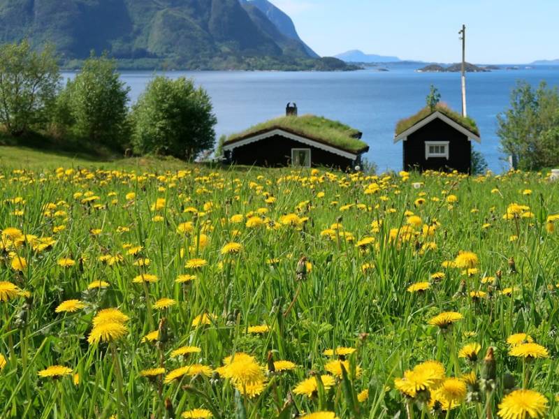
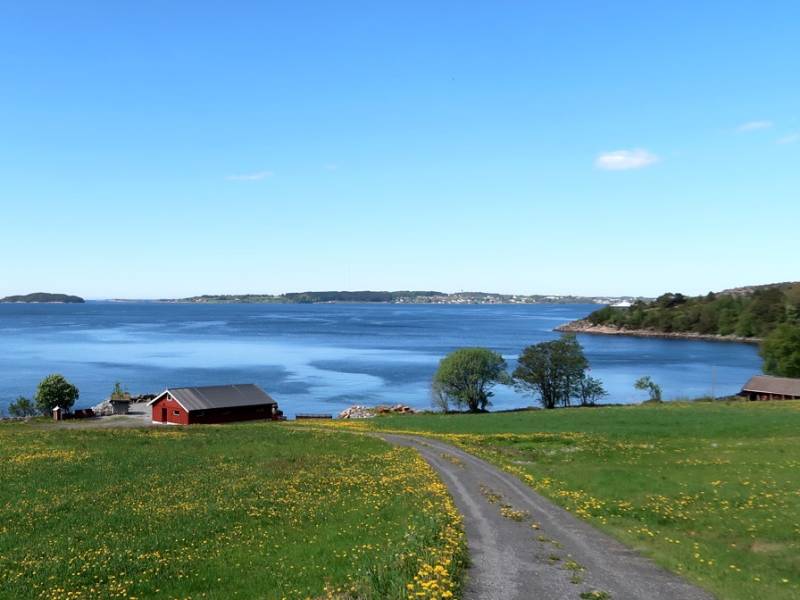
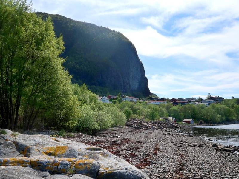
As we pass Eidskrem in Aukra municipality, you may have already noticed that the Norwegian Highways Agency spells the name 'Eidskrem' on the road signs, but on official maps it is spelt 'Eiskrem', without the 'd'. The locals write and say Eidskrem with a d, and a campaign is underway to get this officially approved. Eidskrem is, as you can see, a small town with scattered settlements around several old farms. Farming and fishing have been practiced here for thousands of years. The history of the area dates back to the Stone Age. The first immigrants to the area discovered early on that this coast offered a rich bounty of fish, seals, small whales and seabirds. Studies of settlements have shown that the Stone Age people fished in the sea, the lakes and the rivers. Fish was established early on as a vital basic resource for the population along the coast. Cod and herring fishing are seasonal, following migration patterns along the coast in the winter. This allowed fishing to be combined with agriculture, making it an important contributor to the local economy.

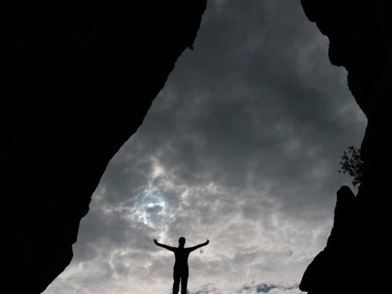
On the southern side of Bremsneshatten mountain, you will find the Bremsnes Cave. Traces of the Fosna culture have been found in this cave dating back nearly 10,000 years. The cave is Norway's largest and extends 80 meters inside the mountain. In the old days, it is thought that the cave was most likely used as a hideout. This meant that the artefacts found there were those of outlaws and castaways. As is the case of many caves, the Bremsnes Cave is also a place of dramatic tales and legends. One of them tells the story of a dog that went farther and farther into the cave, and then re-emerged on the other side with most of his fur ripped off.
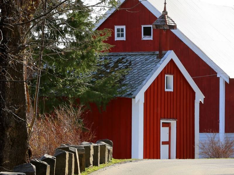
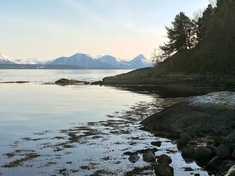
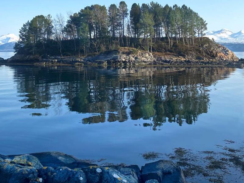
We are now entering Haukabø tunnel, which is one of well over 1100 road tunnels in Norway. Haukabøen is named after the river Haukå. The flat landscape that spreads out before meeting the mountain was called a 'bø' in olden days, meaning 'pasture'. Many places in Norway have names which start or end with 'Bø' or 'bøen', so this is how Haukabøen got its name. Down by the sea, we find Haukabøbukta (Haukabø bay) and the beautiful island of Geitholmen which appears to float in the fjord like an oasis. There have been stories in the bay since time immemorial about people who drank themselves senseless sitting on the boulders. One of these rocks is called 'Supabenken', ie. a bench on which to sit and sup alcohol.
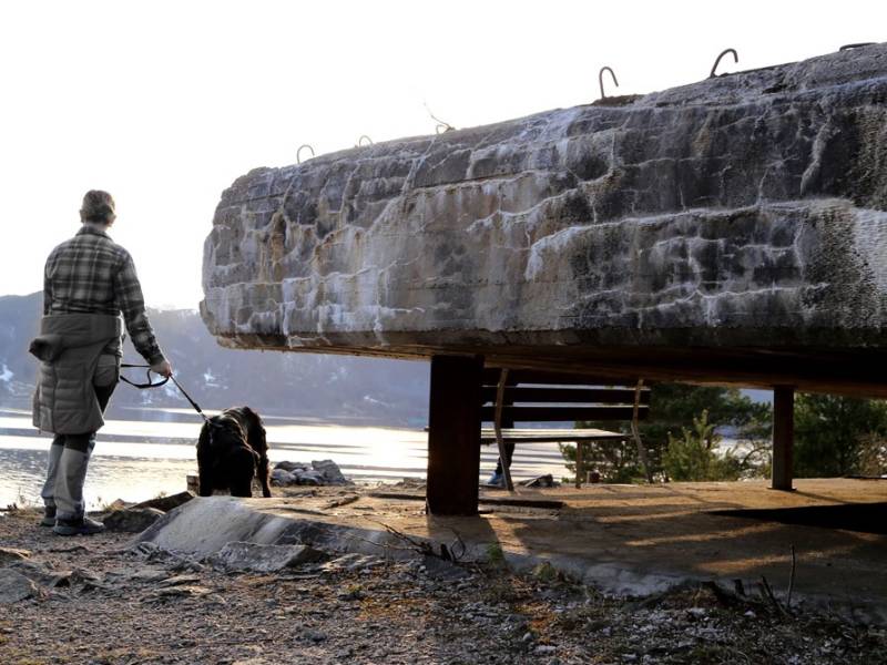
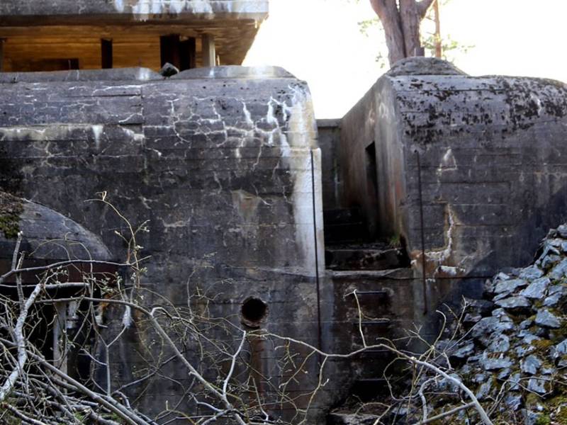
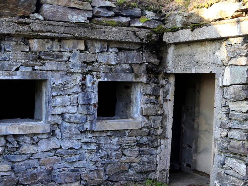
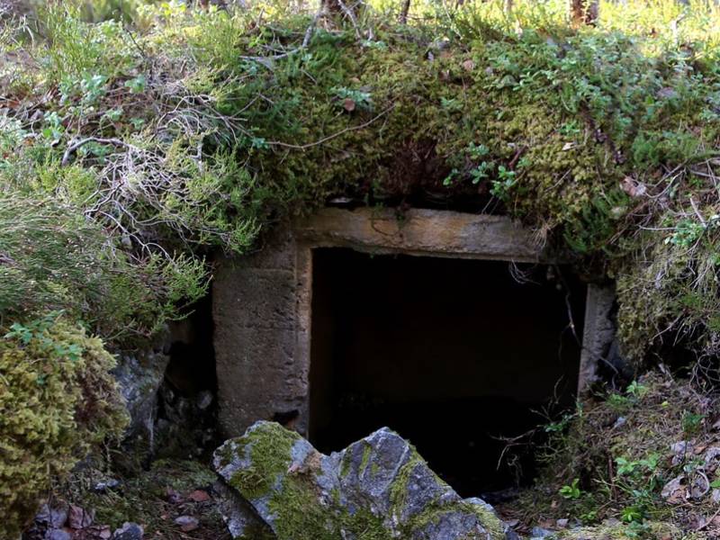
We are now passing Julneset, which was part of the German defences that protected the entrance to Molde and the Moldefjord. Julneset was the headquarters of Møre Artillery Group, which consisted of eight installations, including one on the island of Gossen. A German torpedo battery was located on Julholmen; this can be seen from Julneset. There were a total of three large guns, several anti-aircraft guns, local defence installations and minefields both on land and in the fjord around the battery. The fort was built by the Germans during World War II. There still exist several bunkers and gun emplacements that are interesting to visit. Along the path, you can find several information posts with photographs and local history. Julneset is a conservation area which offers many opportunities for walking, beautiful vantage points, barbecuing on the shore, swimming, or viewing cultural monuments. In total, the Germans built about 300 coastal installations in Norway. Many of them are still possible to visit. Their upkeep is usually taken care of by local teams of volunteers.
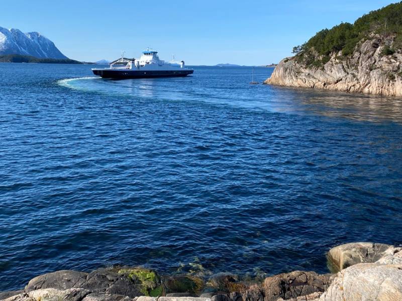


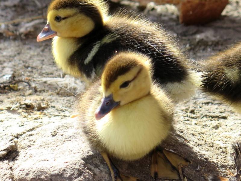
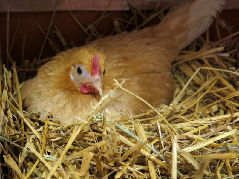

You are now arriving at Hollingsholmen ferry quay, which connects the island of Gossen to the mainland, in the municipality of Aukra. Right next to the ferry terminal is Hollingsholm farm. This is one of of the 500 or so farms in Norway that are part of a program called 'Inn på tunet'. This beautiful place is more than just a farm. School classes, private individuals and institutions are invited to the farm to participate, and to learn and understand both traditional farming and modern agriculture. You can see pigs, sheep, goats and horses in the farmyard or grazing in the landscape around the farm. Traditional farm produce farm is sold here, so you can fill a shopping basket with freshly laid eggs, butter, 'pinnekjøtt' (see under) or the 'fenalår' (cured leg of lamb) that hangs drying in the storehouse, ready for Christmas. Pinnekjøtt is a traditional Christmas dish from Western Norway that has become increasingly popular all over Norway in recent decades. It is eaten by almost 4 million Norwegians over the Christmas period. Pinnekjøtt is ribs of mutton or lamb that are salted, dried, and sometimes smoked. The meat is rehydrated before steaming, preferably on a rack of birch sticks, hence the name 'pinnekjøtt' - literally, 'stick meat'.
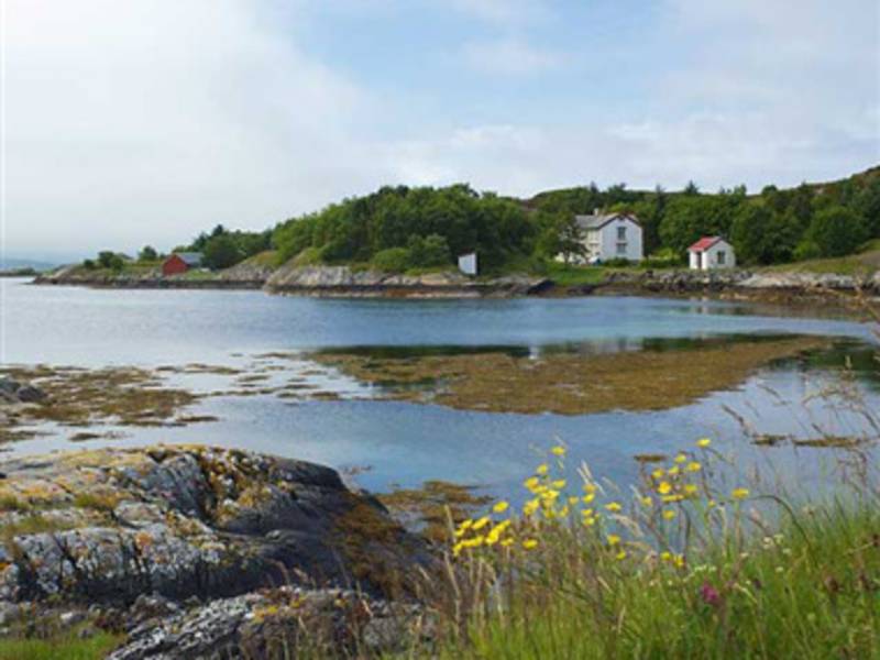
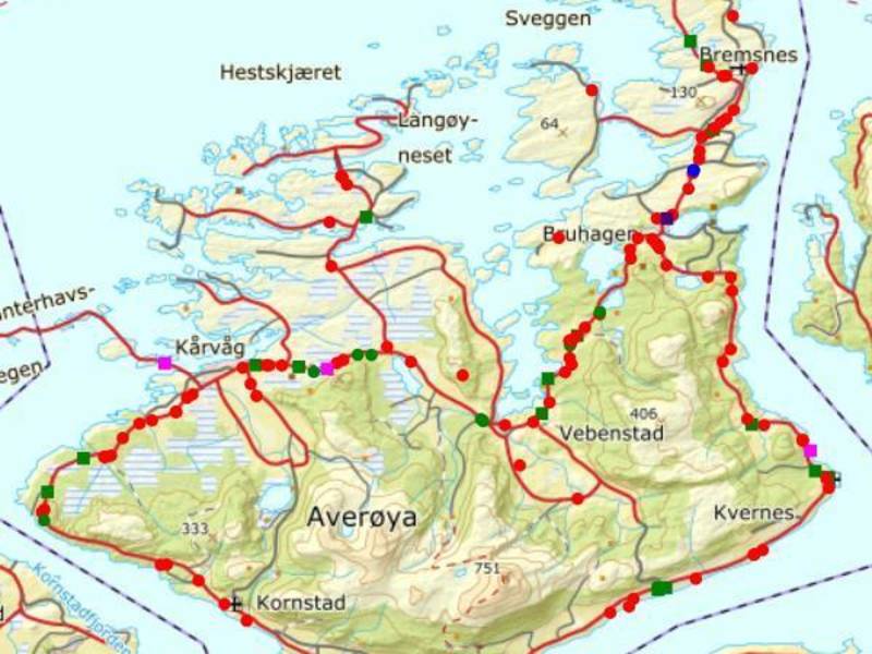
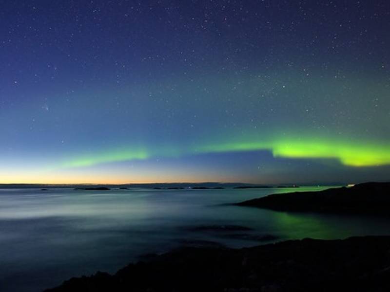
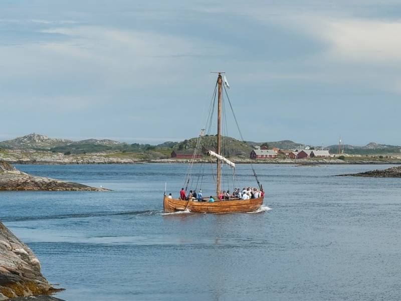
Photo: Kjetil Schjølberg, Roger Ellingsen / Statens vegvesen Averøy is a municipality in Nordmøre, Møre og Romsdal. The municipality consists of several island chains, among which Averøya is the largest. The municipality's administrative centre is in Bruhagen on this main island. Kristiansund is to the east, Gjemnes to the southeast and Eide to the southwest. The nearest towns are Kristiansund and Molde. The population is between 5,500 and 6,000, most of whom live by the sea, spread out over a large area. This means less than 20% of the population lives in the urban centres. The island is a place of rich historical and cultural heritage, and the locals are often referred to as Pekailla. This was probably because many of the island's inhabitants had names starting with the letters P and e, such as Per, Peder, Peter, etc.

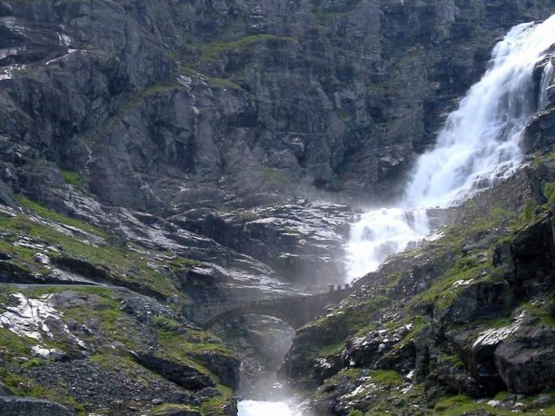
(Photo: wikipedia) You are now crossing the Stigfossbrua bridge on county road 63 which passes above the Stigfossen waterfall in Trollstigen. The bridge and the road were opened by King Haakon VII on July 31st 1936. The construction of the bridge started in 1933 and the construction of the walls was completed in 1934 and 1935. On one of the large stones put up along the side of the road, one can read "Stigfossbrua 1935" carved into the rock.
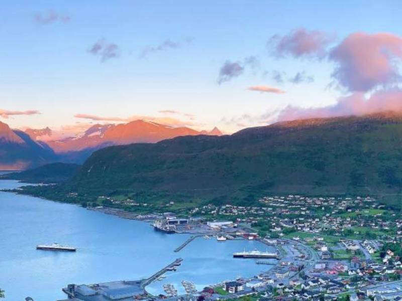
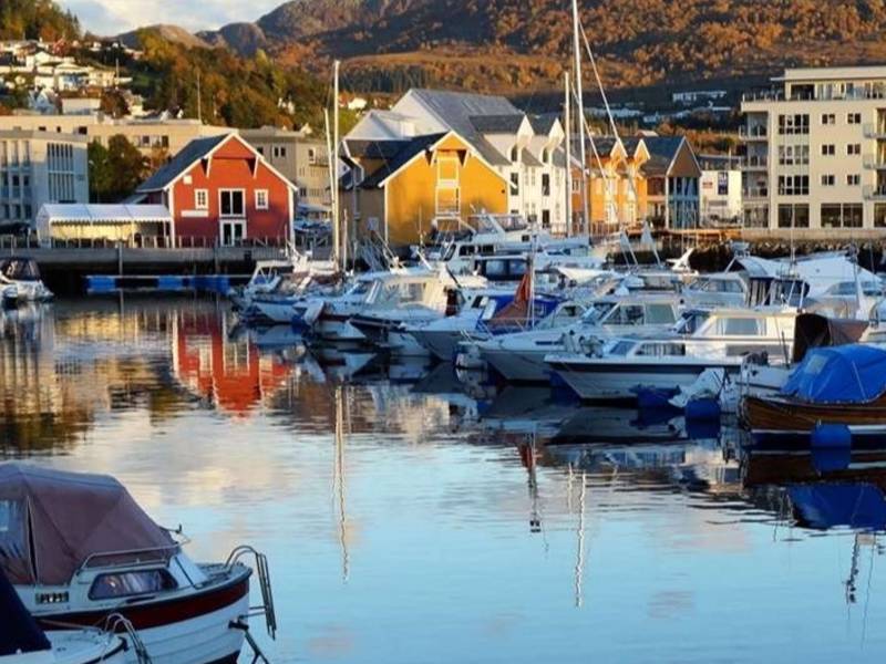
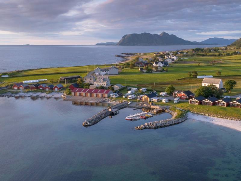
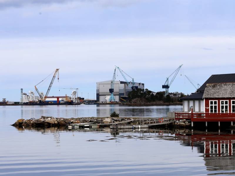
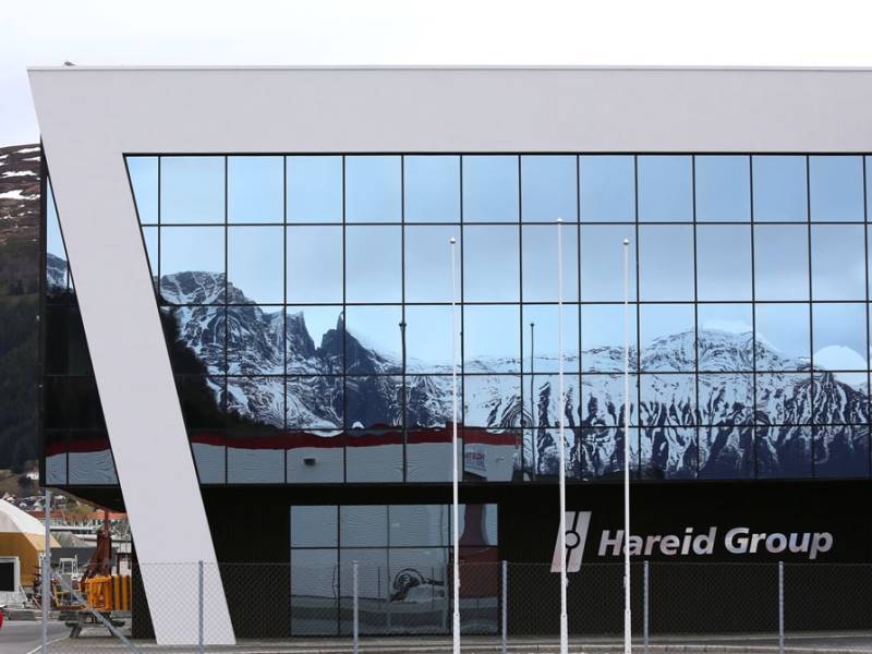


Hareidlandet comprises the municipalities of Ulstein and Hareid. The towns of Hareid and Ulsteinvik dominate the island, which have bridge connection swith Dimna and Eika in Ulstein and with Gurskøya across the Dragsund bridge. In the south, the island is connected to the mainland by a bridge to Eika and a tunnel to Ørsta / Volda. The Eiksund tunnel runs 287 metres below sea level and is the world's second deepest underwater road tunnel. There are several gems scattered around the island - Brandal, Hjørungavåg and Flø are exciting towns that offer beautiful landscapes, inviting sandy beaches, magical mountains, and a rich history. The harsh island climate has fostered hardy and efficient people since the Viking Age. Ever since the battle of Hjørungavåg, and right up to the present day, the islanders have shown an aptitude for productivity and development. There is world-class industry here as well a growing tourism sector. The island has also produced several international sports stars, most notably long-time professional and national team coach Åge Hareide and several times world champion and world record holder, hurdler Karsten Warholm.
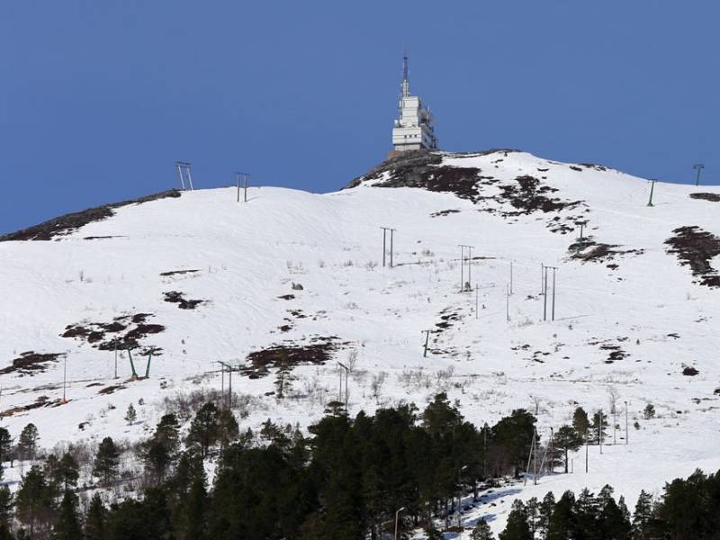
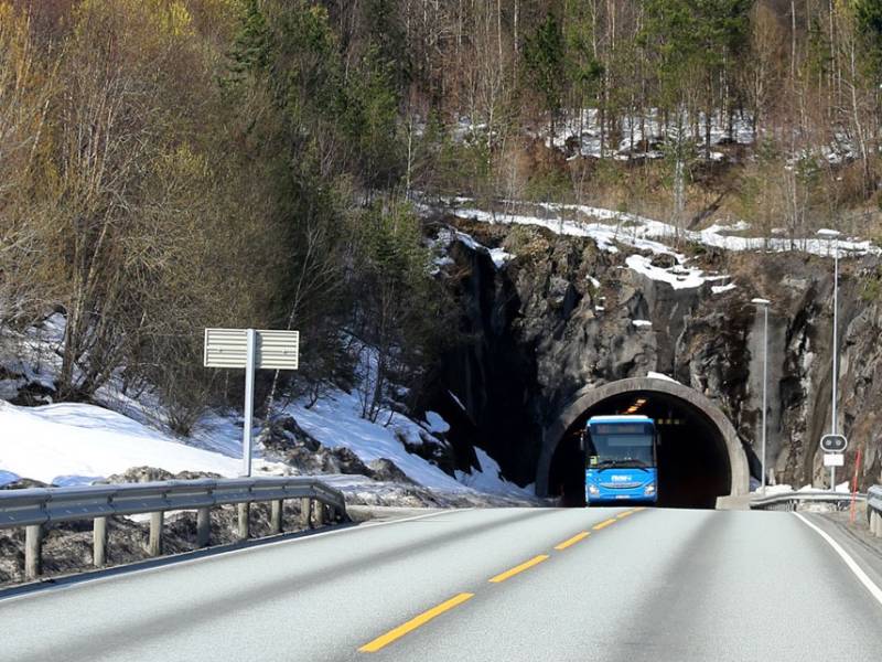
We are now entering Tussentunnelen, which is almost 3 kilometres long and was completed in 1990. The tunnel is referred to as either Tussentunnelen or Tustentunnelen, but the correct name is Tussentunnelen. The reason for the confusion is that the area is called both Tussen and Tusten by the locals. Above the tunnel is Tussen mountain. In the olden days, it served as a lookout post for local farmers who took turns keeping watch from a cairn or perhaps a hut at the top. This way, they could warn everyone in the immediate area, or other watchmen on the surrounding mountains, of impending danger. If enemies approached or danger arose, the watchmen lit fires on the mountain tops to warn others. The last use of this system was recorded in 1808, when the English attacked Kristiansund. The sound of cannon fire could be heard just north of the mountain, so the watchmen ran up and lit the fire.
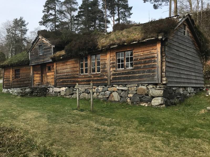
Sunnmøre Museum, located on the southern side of the bay, along E136, is a folk museum with exhibitions of cultural history, and a comprehensive collection of old houses and boats. Enjoy a walk among the characteristic houses and gain insight into the cultural history of Sunnmøre and old building methods. The museum documents and exhibits Sunnmøre's cultural history from The Stone Age to The Modern Era. The museum itself consists of 50 houses and 40 boats.

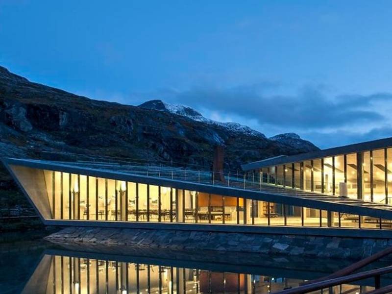
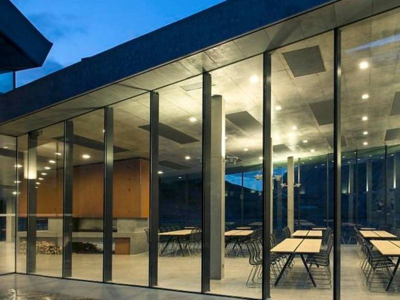
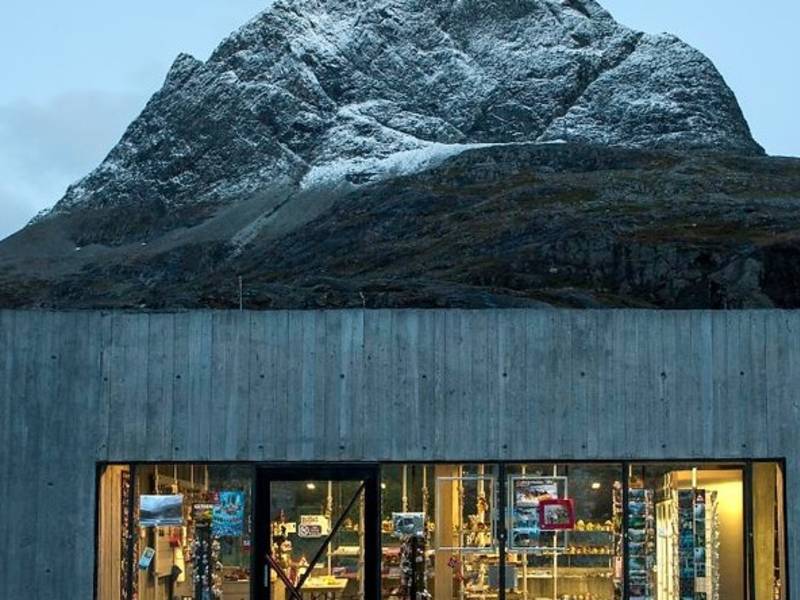
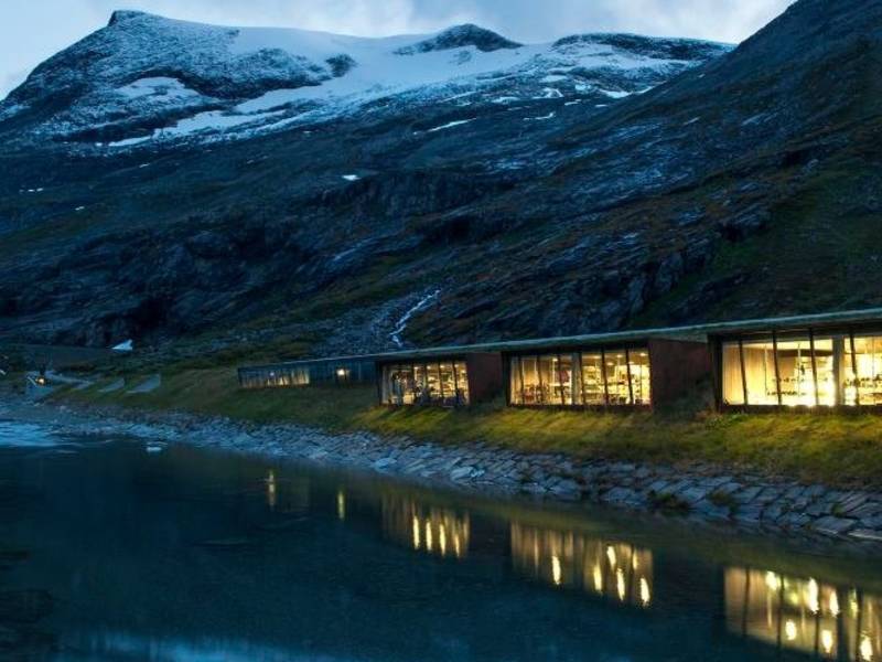
(Photo: Reiulf Ramstad Arkitekter AS, Jiri Havran / Statens vegvesen) At the top of of the sharp turns from Isterdalen, you will find the Trollstigen plateu. Hre you will find a service building with a café, souvenir shops and toilet facilities. The café and shops are normally open from mid-May to September. By the service building there are beautiful water mirrors, bridges, and paths to the viewpoints where you can see the winding road, impressive waterfalls and the wild and stunning nature.
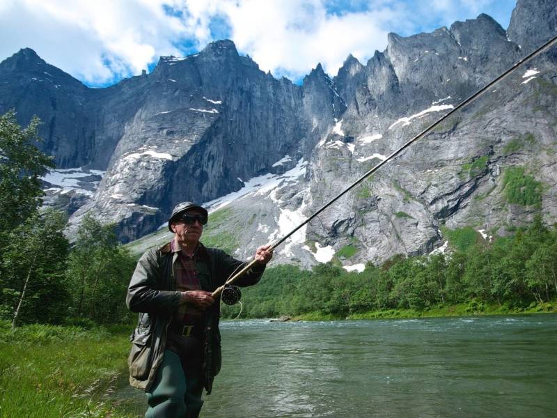

(Photo: Øyvind Heen - Visitnorway.com) The Romsdalen valley is long and narrow with majestic towering mountains on either side. Along the valley floor in a wild and beautiful setting runs the foaming salmon river, Rauma. At Verma, the Rauma goes through a 30-40 meter high gorge and forms the waterfall Slettafossen. Scandinavian rock climbing started in the Romsdal mountains, which boast some of the world's most difficult climbs. At 1,000 metres, Trollveggen, the Troll Wall, is Europe's tallest vertical, overhanging rock face. On the opposite side of the valley, the Romsdalshorn peak towers to a height of 1,555 metres. Romsdalshorn is a very popular climbing site for Norwegian as well as international climbers. The Romsdalen mountains are also popular among base jumbers. However, from the late 1980s base jumping from Trollveggen has been illegal, after a number of serious accidents with risky and expensive rescue operations.
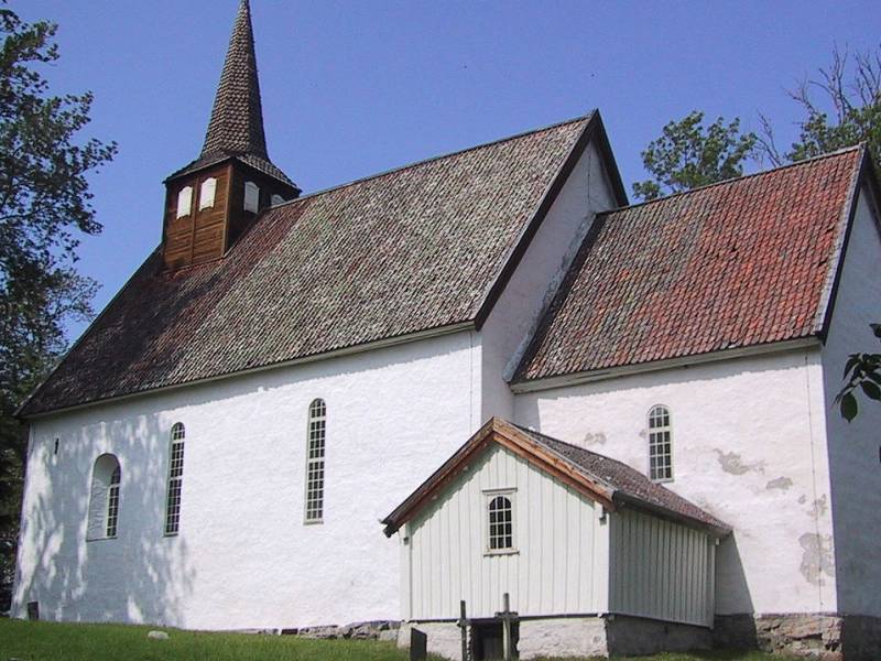
The old church on Veøy is located in Veøy and Røvik parish in the municipality of Molde. This church is also called St. Peter's Church, because it was dedicated to St. Peter. The building is a medieval church built in stone. It was built around the year 1200 and it is a listed building. The earliest written record of Veøy old church is in a will from 1309. The church is a ‘langkirke’ (long church) with seating for 400 people. The name Veøy itself means ‘holy island’. During the Viking era, Veøy was a market town - a trading center - and Veøy was an important hub in Romsdalen until the late 1600s. Veøy church has been a county church for the entire area, and it served as a parish church until 1907. The church is built in Romanesque style with round arches. Both exterior and interior walls are whitewashed. The interior dates from the 17th century, and at that time Veøy old church had income from 88 farms and was considered one of the richest churches in Norway. This church provided funds for the restoration of Nidaros Cathedral. The parsonage dates from 1742 and is also listed. Veøy is one of the key stages along the coastal pilgrimage trail from Egersund to Trondheim. There is a guided tour in cooperation with Romsdal Museum each summer.

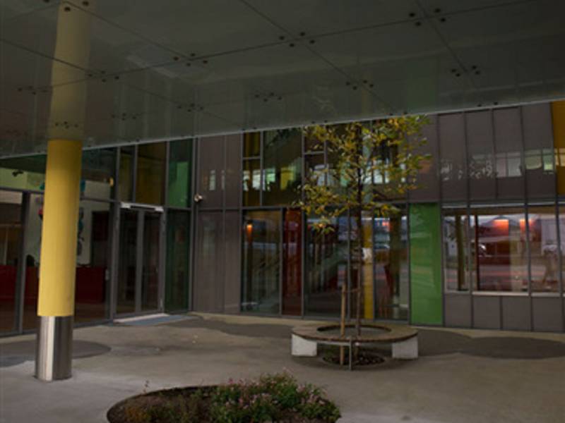
Ålesund sykehus (Ålesund Hospital), the region's largest hospital, is situated between the E136 road and the fjord. Before the current hospital was built in the 1960s, Ålesund Hospital was in an old building in downtown Ålesund. The hospital offers diagnostics, treatment, rehabilitation and care for patients in Sunnmøre. In addition, the hospital has a range of functions covering the whole county.
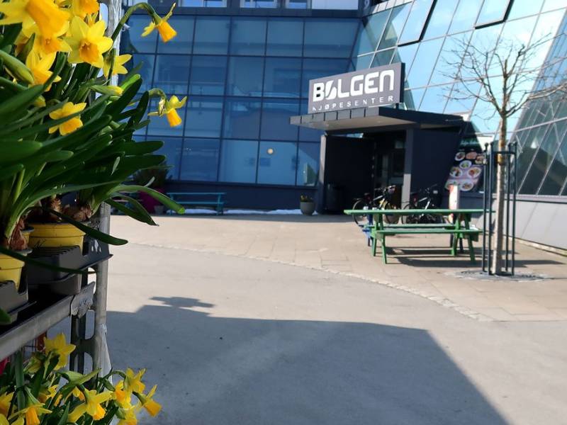
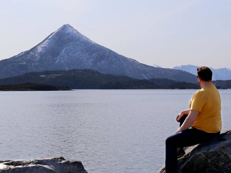

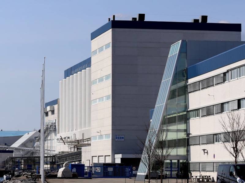
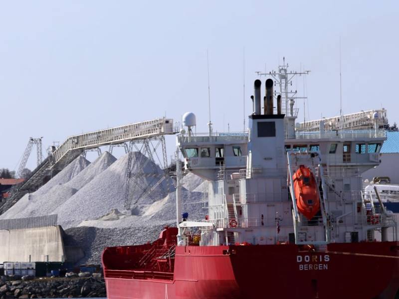
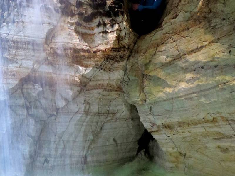
You are now in Elnesvågen, a town and administration centre in Hustadvika municipality. It is actually the second largest community in Romsdal after Molde, closely followed by Åndalsnes. This idyllic location, between beautiful fjord views and the lush fields at the foot of the surrounding mountains, is equally breathtaking to both locals and tourists. The roughly three thousand hardy dwellers of Elnesvågen are at one with their natural surroundings, and manage their resources in a sustainable way. Hustad Marble, one of the town's main employers, operates mining in the area, and Tine Dairies produces the world-famous cheese, Jarlsberg, with milk from local cows. There are many activities on offer for the fit and adventurous. Across the fjord you can see Jendemsfjellet, which rises to 633 metres above sea level. From its peak, there is a unique view of large parts of Romsdal and the mouth of the fjord to the west. In the other direction is Trollkirka, which is not a 'kirke' (church), as might be supposed, but three exciting marble and limestone caves complete with underground streams and waterfalls. If you see a spot of mist on top of Jendemsfjellet, then hold on to your hat. An old legend says that there will be a storm if the mountain has its 'hat' on.
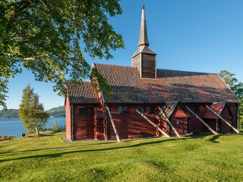
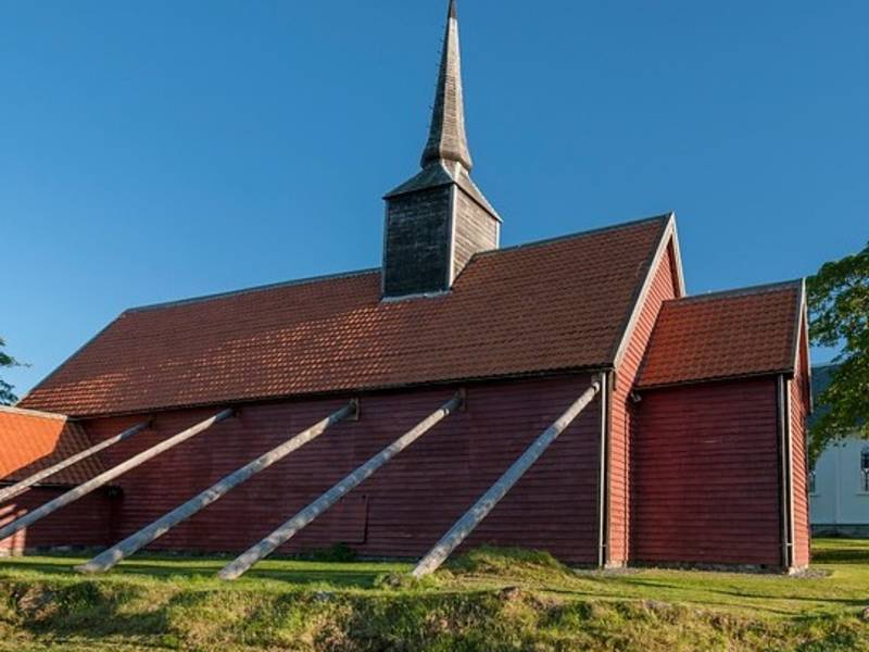
Photo: Jarle Wæhler / Statens vegvesen Kvernes stave church made stave church history when new research revealed that the curch was built in the period 1631-33 and not at the end of the 1300s as was presumed earlier. This makes Kverns very special as it is Norway's only stave church built after the Middle Ages. The church seats around 200 people. A stave church is a wooden church built with a load-bearing construction of staves or posts held up by horizontal sills or crossbeams. The staves are what gave this type of church its name. In the Middle Ages, there were probably more than 1,000 stave churches in Norway. It is thought that there could have been as many as 2,000, but most of them disappeared between 1350 and 1650 A.D. — probably due to societal transformations in the aftermath of the Black Death and the Reformation. In 1650, about 270 stave churches had reappeared, but in the subsequent century, 136 of these disappeared. Today there are only 28 preserved stave churches dating back to the Middle Ages in Norway.
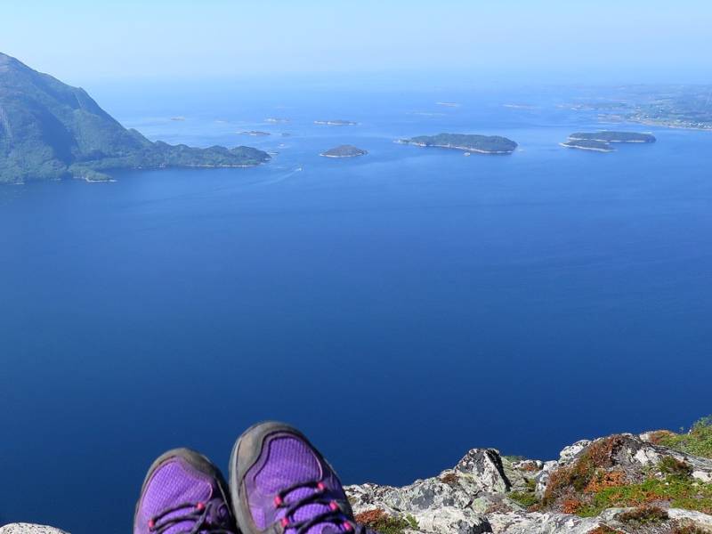
We are now in the fjord 'Julsundet', where the islands of Gossa and Otrøya are connected by two ferry crossings. North of Julsundet is Hustadvika municipality, and to the east you can see Vestnes municipality. In the middle, between the islands, are Flatholmen, Kjerringholmen and Forholmen, which separate the 10-kilometre long Grunnefjorden from Julsundet. If you like fishing, then Julsundet, with its many skerries and islets, is an excellent place for a good catch. From the 100-150 metre depths of Julsundet, you can land saithe, cusk, ling and halibut. From mid-July, the fjord is filled with shoals of mackerel and herring. Along the entire fjord throughout summer you can enjoy warm-weather days on its many beautiful beaches, or putter around by boat to the hundreds of idyllic bays, skerries, islets and islands to be found here.
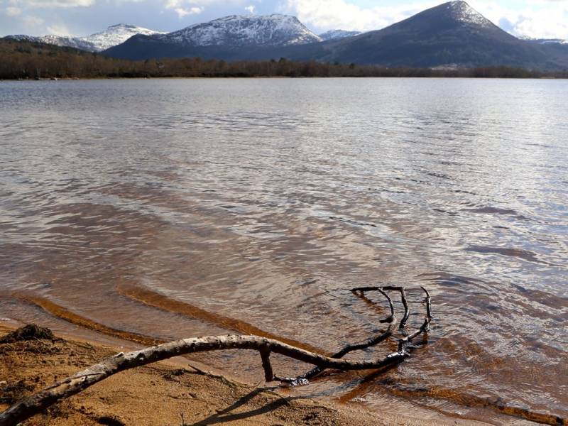
We now pass Grimstadvatnet, which is a nutrient-rich lake with a clear surface, lush surrounding vegetation, and adjacent bog areas. The lake is home to a colony of hooded gulls and offers a pleasant habitat for overwintering and resting wetland birds. The lake is one of the island's treasures, a place where locals and tourists can enjoy birdsong and the rustling of the wind in scenic surroundings. In summer, you can hear the sound of children splashing and laughing at the beach Raudsanden, which is located at the end of the lake. The beach is named after the red sand at its bottom. From the mouth of the river Hareidselva there is a landscaped nature trail that winds all the way down to the village. This is a fantastic area for hiking, and it also hosts a running race, 'Grimstadvatnet rundt'. In winter, the surface ice often freezes thick enough to tempt children and adults to get their ice skates on. In winter you can also see overwintering song swans, with their characteristic orange and black beaks, in the ice-free zones.

You are now on Otrøya, in Molde municipality, where the village of Midsund is the main settlement. Here you will find spectacular nature, history, vibrant sea life, beautiful coastal mountains, and friendly locals. Fisheries, agriculture, and industry provide the basis for settlement and development in the island community. The fishing opportunities on the island are particularly good, either from the shore or from a boat. Rock carvings in the area show that people have lived here and harvested from the sea for thousands of years. Among these is a huge halibut depicted in stone. There are plenty of hiking opportunities in the area and it is a great place to truly experience the magnificent northwest coast of Norway. Over the recent years, Otrøya has become famous for Midsundtrappene (the Midsund stairs) - four hiking trails where large pasrt of the path has been prepared with stone stairs made by sherpas from Nepal. The stairs are meant to protect the landscape from the wear of hikers. The stairs lead to the mountains Rørsethornet (644 masl), Digergubben (527 masl) and Digergubben (483 masl), Bløkallen (522 masl), and Aksla (110 masl) and Akslahornet (411 masl). The stairs to Rørsethornet are Norway's longest consecutive stone stairs, and by Digergubben you can find Norwat's most spectacular hammock park. The stonework alone makes it worth taking the trip, but in addition you get a fantastic view of mountains, fjords and the ocean.
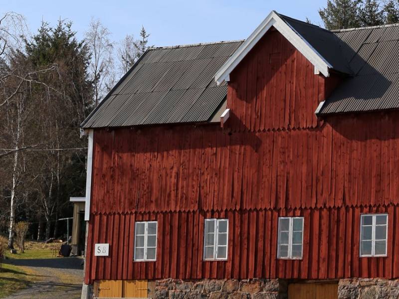

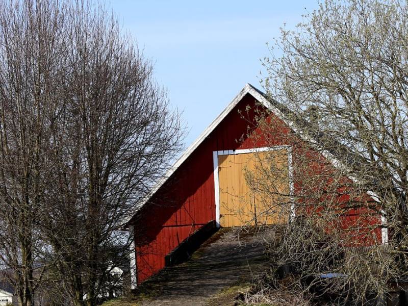

You can see them everywhere; smaller or larger farms with white farmhouses and red barns. Norway is a nation of people who harvested the resources where they lived. Farmers and fishermen laid the foundation for the cultural landscape you see on this trip. A traditional farm usually consists of a farmhouse and at least one or more outbuildings in the form of a barn, livestock shed or storehouse. In 1950, there were over 200,000 active farms in Norway, most of them very small. Today, this number has been drastically reduced, and there are now just over 38,000 farms. Farms today are considerably larger. The closure of many small farms has, especially in recent years, led to significant areas of cultural landscape being lost as forests and scrub take over previously cultivated cropland. And you might be wondering why all the barns are red? This is because red paint was the cheapest paint available in olden days, so farmers could save money by painting their large farm buildings red. In their vanity, though, they used expensive white paint on their homes. What was once necessity, has today become a tradition.


Do you like shopping? Then you have come to the right place. We are now at Amfi Moa, which with its 170 stores is among Norway's largest shopping centers in terms of turnover.Many well- known chain stores can be found here, as well as many unique, independent stores. The centre also has a real estate agency, a pharmacy, The Wine Monopoly and a large selection of eateries. Parking is free.
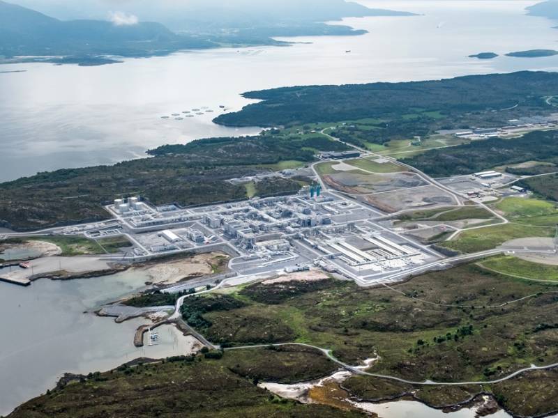
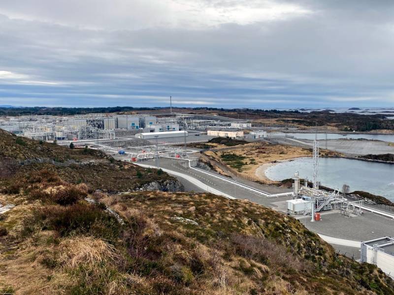


You are now on the idyllic island of Gossa, which makes up the majority of Aukra municipality. According to historical sources, people have been travelling here since the Neolithic, subsisting on whatever nature could provide. The fish-rich fjords and the lush coastal landscape have contributed to the growth of the community, which today also boasts a large, innovative business sector. Nyhamna gas plant, from which gas is distributed throughout Europe via a pipeline in the North Sea, is located on the island. During World War II, the Germans built an airfield with a 1.6 km-long runway on the island. Today, the runway is only 550 metres long and is only used by small aircraft. The wind can be fierce on this somewhat flat landscape, but fortunately the island's more than 3,000 inhabitants have an ancient warning system. It is said that mermen rise from the sea to warn of approaching storms. So, if you see a merman, all you have to do is put on your sou'wester and sensible clothing and stay away from the sea.


We are now driving past New Høddvoll Stadium, home ground of the legendary football team Hødd. They were named Norwegian Champions in 2012 after beating Tromsø. Hødd has hovered in and around the Norwegian Elite Series since the 1960s and has had well-known national players such as Kjetil Hasund, Åge Hareide and Jan Åge Fjørtoft in its stable. Hødd's fan club, 'Blåsarane', supports their team through thick and thin. New Høddvoll was opened in 2015, replacing the old grounds, which were opened in 1963 and are located opposite. The audience record is an incredible 12,000 spectators, and almost the entire island's population showed up in 1981 in a cup match against Oslo club Vålerenga. That particular match ended in a loss for Hødd, but they have always been a formidable team at home games. ('Heimebane' - 'home ground' - was also the name of a popular NRK TV drama in 2018, and it was filmed in Ulsteinvik and Høddvoll.)
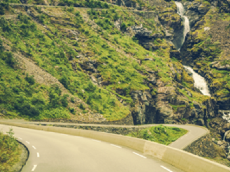
Trollstigen is part of the Otta - Geiranger - Valldal - Åndalsnes - Dombås road which is called The Golden Route. Since 2005, Trollstigvegen has been one of the roads selected for the project National Tourist Routes. The project's slogan is Safe and Beautiful, meaning that all stops and picnic areas should look harmonious in relation to the nature and landscape. The road's highest point is 850 metres above sea level, at Alnesreset. This was the location of the restaurant Trollstigheimen which was destroyed by an avalanche. It was never rebuilt. The road was renovated between 2005 and 2009 in order to adapt to the increasing number of tourists. This included safety measures against stone avalanches, new rest stops and viewpoints, as well as souvenir shops. The traditional small huts that used to sell souvenirs were removed, at the same time as a new facility with a café and a souvenir shop opened in the summer of 2009. The road is surrounded by several mountain tops which are more than 1,000 metres high. Stigbotnhornet and Bispen are among the most famous. Dronninga and Kongen ('The Queen and The King') ; are to the north west. Trolltindene ('The Troll Peaks') ; with Trollklørne ('The Troll Claws') ;, and the backside of Trollveggen ('The Troll Wall') ; in the north east. The mountains and the many summits in Romsdal are popular among mountain climbers. There are several marked trails, most of which are quite easy to hike, while others require climbing.


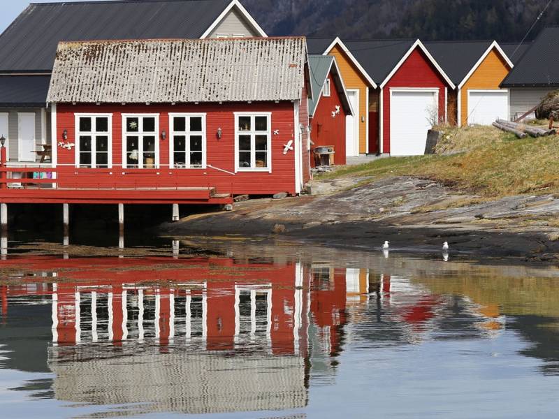


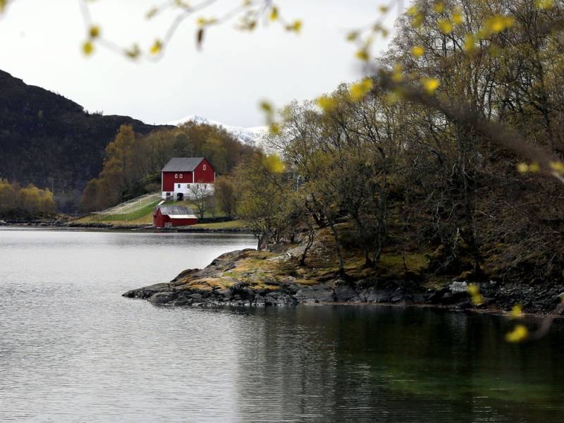
Dimnøya is a beautiful, larger island with lush vegetation and lovely beaches curving around beautiful bays. There are well over 1000 enterprising inhabitants, who are proud of their island, its nature and not least the world-famous industrial giant Kleven, which is based at the far end of the headland towards Ulsteinvik. This shipyard has a history that stretches back many decades. Throughout this time, its employees' work ethic and continual search for improved methods and results have been their hallmark. A road runs around the island, winding its way between small idyllic villages. Here, you can also explore Norway's most exciting hiking trail for children, 'Uglesetra', along which families with children can walk in beautiful nature with delightful views of the ocean, in search of animals, or trolls that are hidden in the trees, behind rocks or under stumps. Boat owners love Dimnøya! Sailing around the island among the countless small skerries, islands and islets in summer is an experience to cherish.


Photo: sogeland.blogspot.com Håkkårøysa in Rånes on Averøy is the largest burial mound in Nordmøre with a diameter of 35 meters. The original dimensions of the mound are difficult to determine with certainty since some of the rocks have been displaced, but it's safe to assume that its initial height was 3 meters. With these dimensions, the construction is estimated to have required 500 man-days of work, which indicated the huge investment and importance linked to these burial sites. Judging by its location relative to sea level, the burial mound most likely dates back to the early Iron Age, i.e. the Merovinger Age or the Viking Age. It is believed that one of the chieftains from the battle of Rastarkalv in 995 A.D. is buried here. Up until the 20th century, the sea was the number one means of communication and a teeming thoroughfare along the coast. The burial mound has a central position along the inner shipping lane, clearly visible from the sea. Some speculate as to whether the mound hides a ship grave. In ship burials practised by the Vikings, the dead would either be placed inside the boat or the boat would be part of the grave goods. Although many of the rocks have been disturbed, the grave itself could still be intact. Also, it is not unusual to find multiple graves that were later added to major burial mounds such as this one. The large size of the burial mound bears witness to the ability of the population to honour the memory of a significant figure in their society, thus leaving a mark for posterity. Burial mounds are important demonstrations of a family's claim on land or property, or a territorial marker for a larger joint ownership. Local history tells of treasure coins once hidden inside the mound, and about an attempt of plunder by local farmers. While the farmers were robbing the grave, they saw flames coming from their own farm and immediately ran home to put out the fire. However, when they reached the farm, they were surprised to see there was no fire. Ever since, the grave has been left in peace. The tradition of building large burial mounds dates back over 3,000 years, from the Late Bronze Age and Iron Age. In Norway, there seems to be more male graves than female ones. However, the wealthiest ship grave known to date from the Viking Age, the Oseberg Mound, was for a woman. Ancient written sources stress the importance of building a large and visible mound.

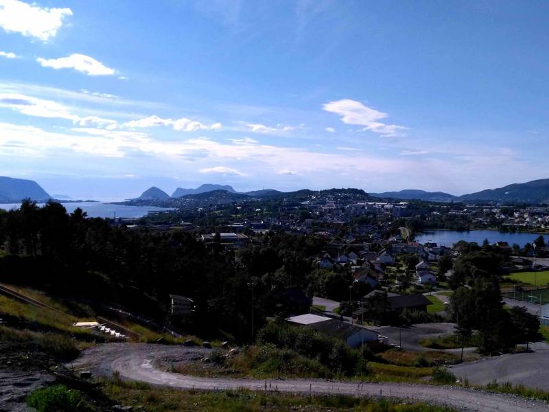
(Photo: wikipedia) Spjelkavik is a district in Ålesund which includes the areas around Spjelkavik/Moa, in addition to the residential areas of Åse, Lerstad, Olsvika and Fremmerholen. Today Spjelkavik has about 10,500 inhabitants, and is Ålesund's second largest town district. The town district is located about 10 km from the centre of Ålesund and is among the fastest-growing areas in Ålesund.
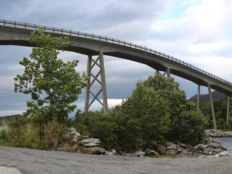
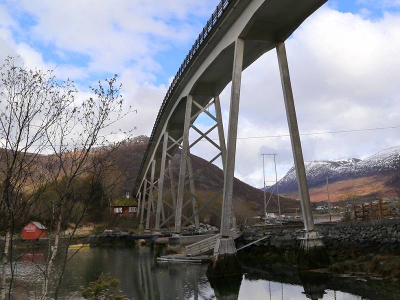
We are now on Dragsund bridge, which connects the islands of Hareidlandet and Gurskøya. The small towns of Dragsund and Myrvåg overlap and are located in Herøy municipality, surrounded by fjords. There are a few hundred permanent residents, and there is also a large industrial area. From the bridge you can catch a glimpse of Ulsteinvik behind beautiful Dimnøya, and if you look the opposite way, you will see Haddal and Haddalshornet rising to 607 metres above sea level, and the magical Sunnmør alps in the distance. There is another historical coastal gem to be found among the Sunnmøre skerries. Kjeldsund, a former trading post and inn, dates from the 17th century. Today it is mostly used to teach schoolchildren about coastal history. The first bridge over Dragsundet was built in 1875. That bridge was movable, and laid out only when needed so as to allow boat traffic to pass freely. Today's bridge was built in 1953 and the strait deepened by 4 metres. During World War II the bridge was of strategic importance, and in 1942 fighting broke out when Norwegian soldiers were sent to secure the area in order to allow MTBs to sink a German cargo ship in the Syvdefjord. A German non-commissioned officer was killed, but the Norwegian boats did not succeed in crossing the strait. Later, the guard was heavily reinforced and firing positions were established on each side of the bridge.

Photo: Kristen Vorpvik @ flickr.com After crossing the bridge you’ll arrive at Langøya island, you will notice the Pilespisser (arrowheads) monument to the right of the car park. The monument was erected to honour the memory of the Langøysund Agreement of 1040 A.D. Thanks to which Norway got its first Magna Carta. King Magnus called for an agreement to be reached with the farmers along the coast. Following tough, but peaceful negotiations, the King and his men reduced their demands and renounced certain rights they had previously enforced, but which were not granted by law. At the same time, legal changes were voted in, this was a breakthrough for democracy. The beacon-shaped sculpture by the artist Kristian Blystad represents a common weapon from that era — an arrowhead. In the sculpture, the arrowhead has been removed, leaving only a contour for the light to shine through. This is a reference to the victory of values such as negotiation and democracy. Arrowheads can also be found in the coat of arms of Averøy municipality. From the Pilspisser monument, there is a pathway heading northwest towards Tjyvlohaugen (Arctic skua's mound) and Ørnhågen (eagle's mound). The names of the mounds date back a long time, but both Arctic skuas and eagles can be observed in the area.

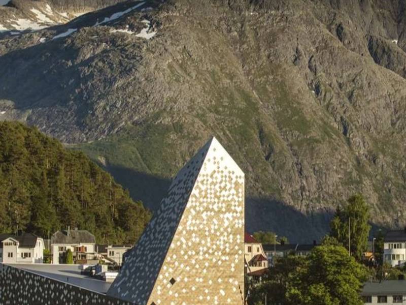
Norsk Tindesenter attracts mountain climbers and regular tourists alike. Its main focus is on Norway's mountaineering history. Inside the center, you can start your visit with a cinematic experience allowing for floor-to-ceiling movie viewing. Here, stunning trekking films combined with short historical narratives take you on an exciting adventure trip. The center has a number of interesting installations showing different aspects of the climbing sport, and the driving forces motivating mountaineers. Both children and adults are invited to learn and participate interactively. Real stories have been dramatized and old equipment displayed alongside so you can study the challenges of the climbing pioneers. If you feel up to it, you can test your own climbing skills. Norway's highest indoor climbing wall – Carl's Hall – is here at Norsk Tindesenter. It has routes up to 21 meters. Norsk Tindesenter also has its own children's bouldering cave suitable for children from 3 years of age and upwards.

We now come to the small village and the traffic hub Sjøholt, which is located where the Ørskogelva River flows into the Storfjorden. Here the traffic is distributed in all directions, whether you are going to Ålesund, Molde, Geiranger or Oslo. The popular petrol station has been a favorite stop for both large and small cars for many decades. Sjøholt has some minor industries within repairs, furniture, plastic, and wood. South of the river mouth of Ørskogelva, you will find Ørskog church, a wooden church with a rectangular basilica built in 1873.
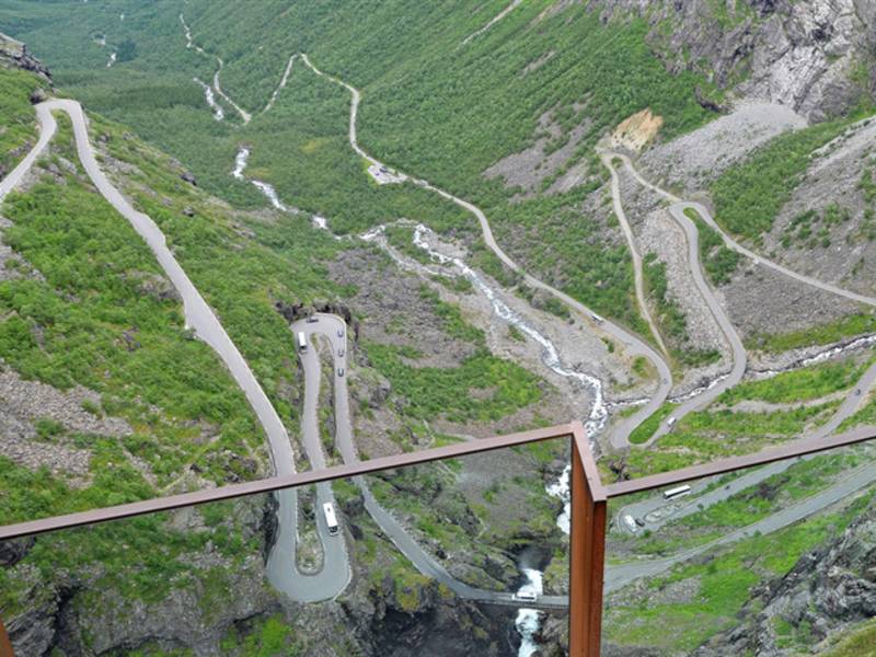
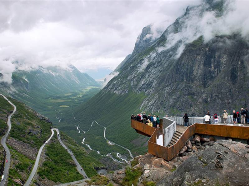

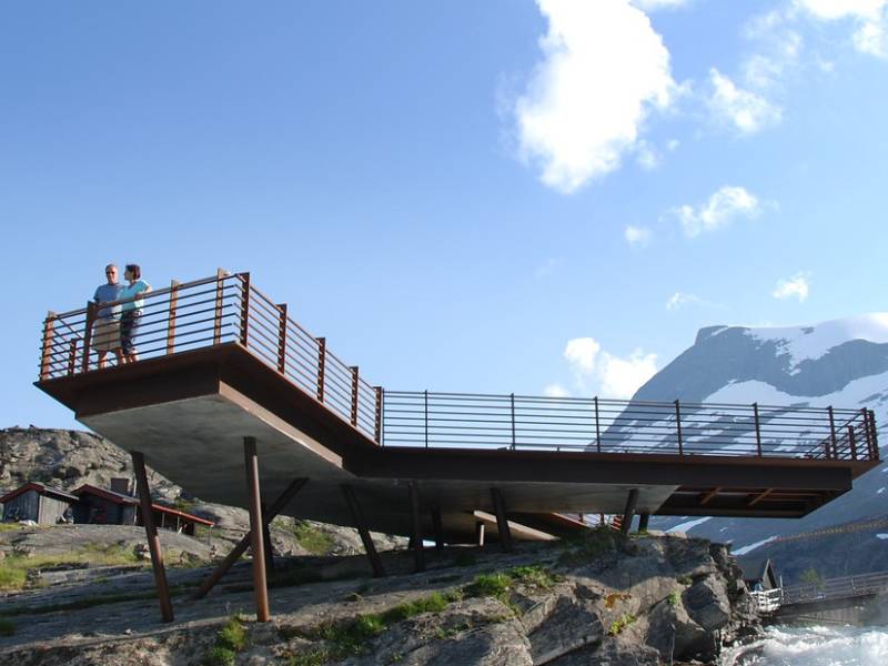
(Photo: Per Kollstad, Jarle Wæhler / Statens vegvesen) Plattingen is the name of the platform that sticks out over the mountain edge and hovers 200 metres above Trollstigen. It provides a spectacular view of the majestic landscape. The platform has a different viewpoint depending on how brave or prudent you are. The construction is made of steel and glass, and protects against bad weather and winds. Plattingen was designed by architect Reiulf Ramstad Arkitekter AS. There is a short hike along the walking trails and stairs up to the viewpoints.
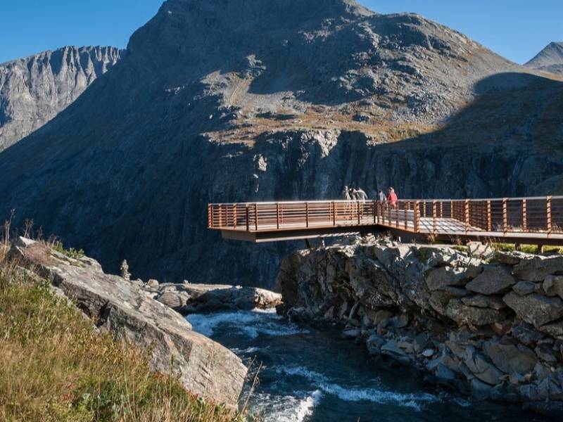
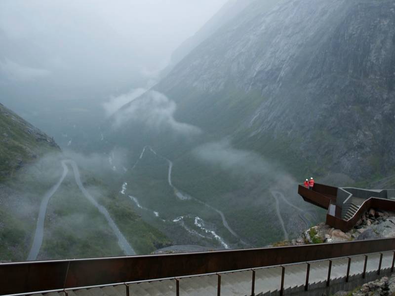
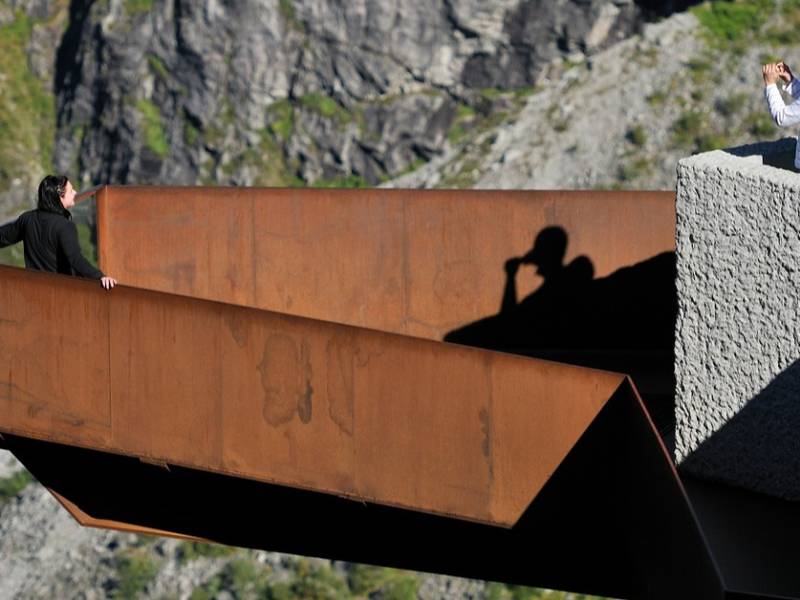
(Photo: Steinar Skaar, Jarle Wæhler / Statens vegvesen) The drive across Trollstigen is without a doubt more dramatic than most are used to. One of the most striking observations one makes when driving around Norway is that there are actually people living everywhere. Even on the narrowest cliff or smallest hill it is possible to spot a house. This is how we are connected to the landscape and nature through settlements where people have lived their lives for generations before us. However, this will probably just be a digression since it is so easy to get lost in the spectacular landscape along this road. Geiranger - Trollstigen offers several highlights, and the drive up the eleven hairpin bends in Trollstigen or as you look out on the Geiranger fjord from Ørnesvingen will get your heart racing. Lush valleys, quiet strawberry villages, steep mountains and viewpoints provide both a sinking feeling and some of most beautiful sights in Norway. Plan plenty of time for the trip, the stops are valuable, whether you want to challenge yourself to a hike to the summit of a mountain or just enjoy the view. There is so much to discover if you take your time to do it. For hundreds of years, the Trollstigvegen road has been an important connection between Valldal and Åndalsnes. At first as a path, then as a horse trail until the construction of Trollstigvegen road started in 1916. Part of the original path is still visible today and it is still possible to walk on it. This is an interesting option for those who want to experience the path the way it was in the old days. Some of the most sensational spots in the area can be found here. The Ørnesvingen, Gudbrandsjuvet and Flydalsjuvet viewpoints allow a special experience of nature. With a ferry on the fjord, you can take a closer look at the famous De Sju Søstre (The Seven Sisters), Friaren (The Suitor) and Brudesløret (The Bridal Veil) waterfalls, and experience the world's most famous fjord, the Geiranger fjord, which is on UNESCO's list of world heritage sites.
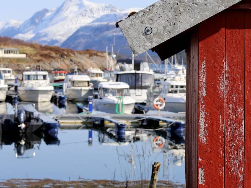
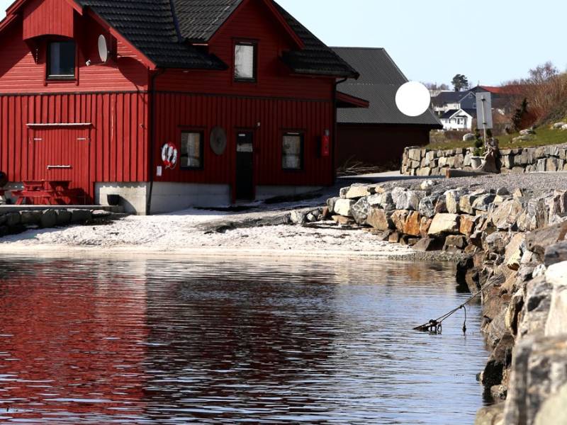
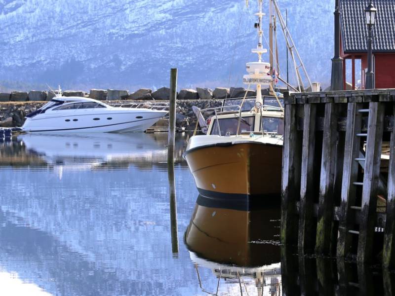
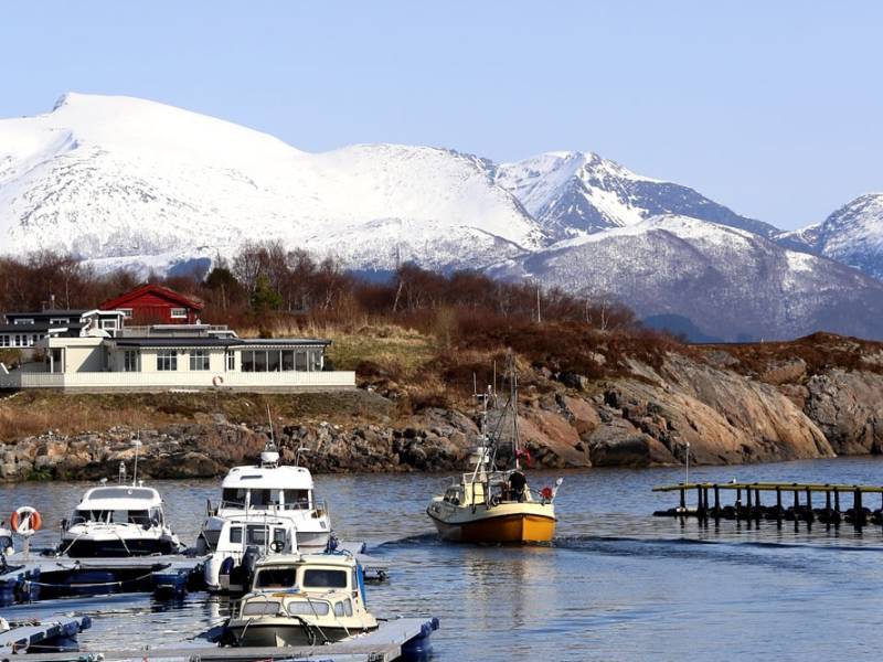
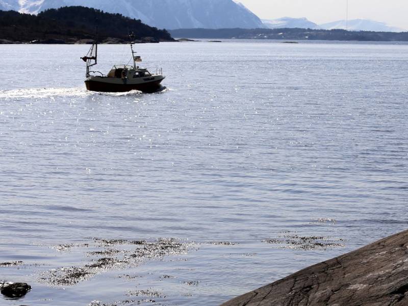
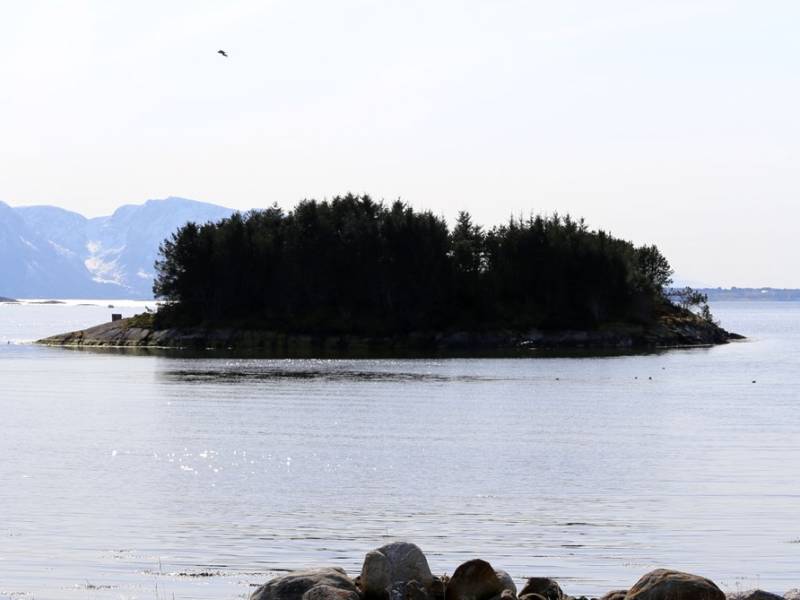

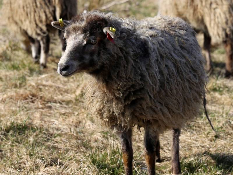
Tornes is a little pearl in Romsdalen with plenty of history. It was previously the administration centre for what was then Fræna Municipality. The characteristic nose ('nes') shape of the village, which points out towards the island of Gossa, is the reason for its name. In the immediate vicinity there are beautiful mountains, and it is not far to Elnesvågen, Molde and Atlanterhavsveien. So this is a top choice for anyone who wants to experience the very best of Romsdal. As you can see, there are fertile farms here, one after the other; these have provided a solid livelihood for their inhabitants for millennia. A trip to Tornes fjord camping is balm for the soul. The sea, the beaches, the fresh air and the beautiful view offer peace of mind and a perfect playground for the children. In the same area you will find the marina - one of well over 1000 in Norway. The 90-metre guest harbour offers visiting boat tourists everything they need, including access to bathroom and shower facilities. If you're one of Norway's 750,000 leisure boat owners, Tornes is an excellent choice for your next trip.

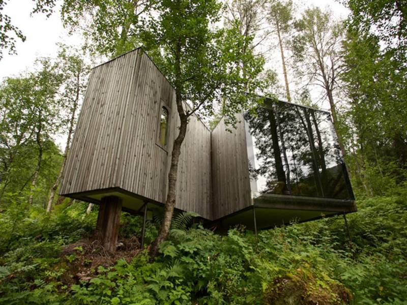

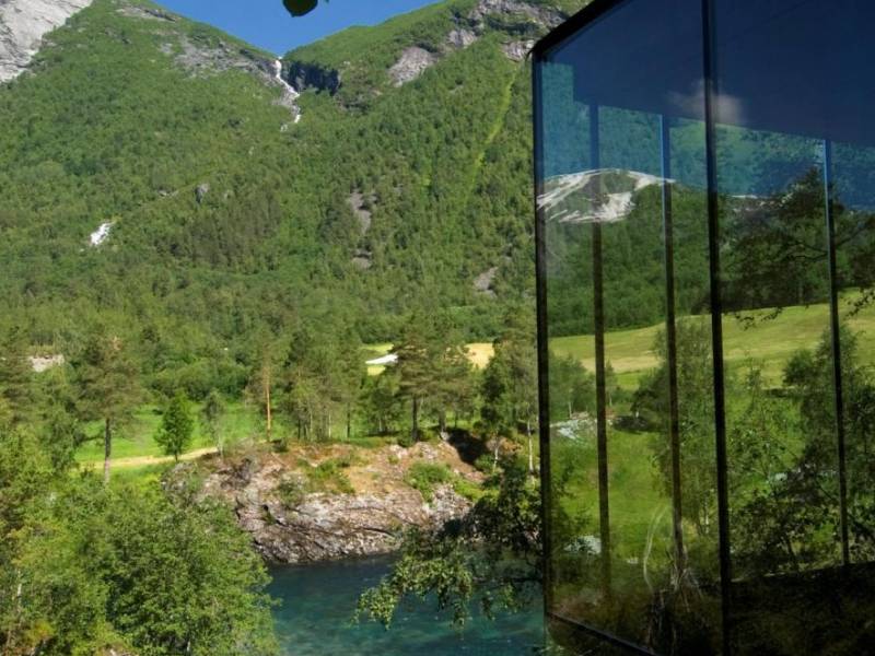
The Juvet landscape hotel is walking distance from the Gudbrandsjuvet ravine. Its unique architecture and location have earned the hotel several awards. It has also been mentioned in multiple design and architecture magazines.
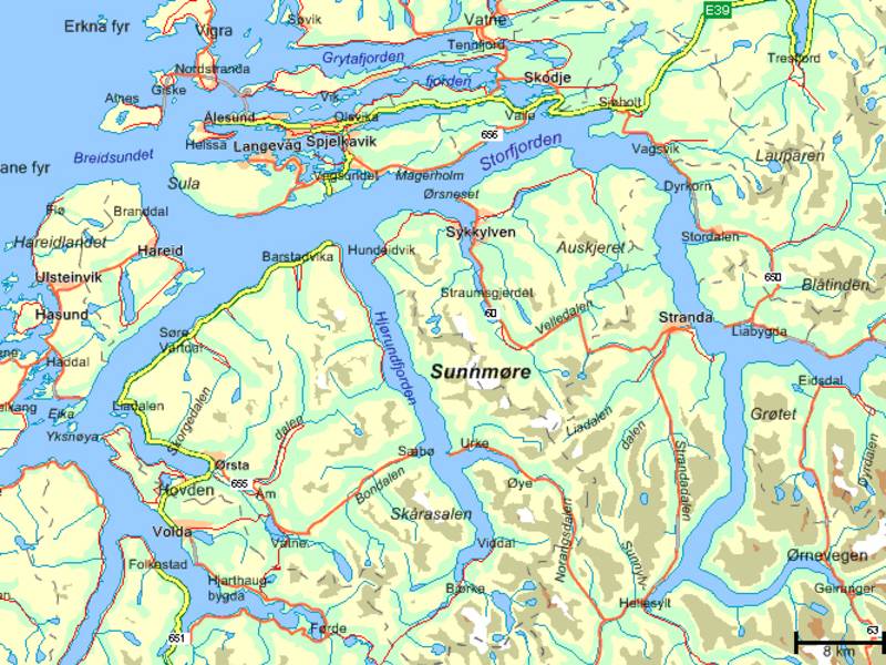
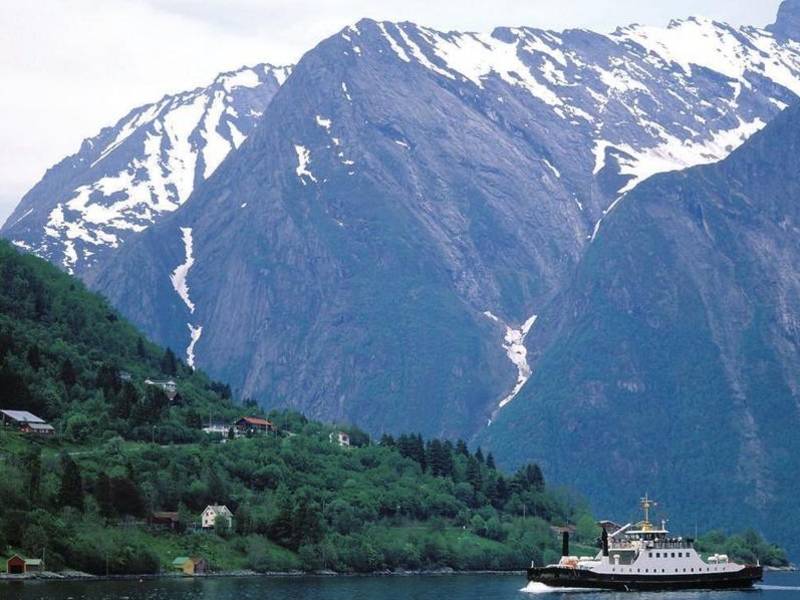
(Photo: snl.no) This region in Møre og Romsdal is called Sunnmøre. The word Møre originates from Norse marr, 'ocean, sea', and can be interpreted as "the land by the sea". People from Sunnmøre are called sunnmøringer. Sunnmøre has about 140,000 inhabitants and covers an area of 5,234 km2. Sunnmøre's most important town is Ålesund and this is the biggest town between Bergen and Trondheim. Ålesund is the country's ninth biggest town and lies entirely on islands. Sunnmøre also has two other small towns, Ulsteinvik and Fosnavåg, and several large villages like Ørsta, Volda, Sykkylven, Hareid, Nordstrand, Stranda and Brattvåg. Many islands, long and narrow fjords, including Geirangerfjorden on UNESCO's world heritage list, and Sunnmørsalpene (The Sunnmøre Alps) dominate the landscape. This also gives rise to many nature-related activities. In the Sunnmørsalpene, it is possible to find some of the country's best alpine resorts, known as the "powder paradise". This area offers good opportunities for mountain hiking, climbing, ocean fishing, kayaking and scuba diving. The region also has a wide range of restaurants and accommodation facilities that based on the natural conditions. We recommend that you check out activities on the Visit Ålesund & Sunnmøre's website. A link is available in the app.


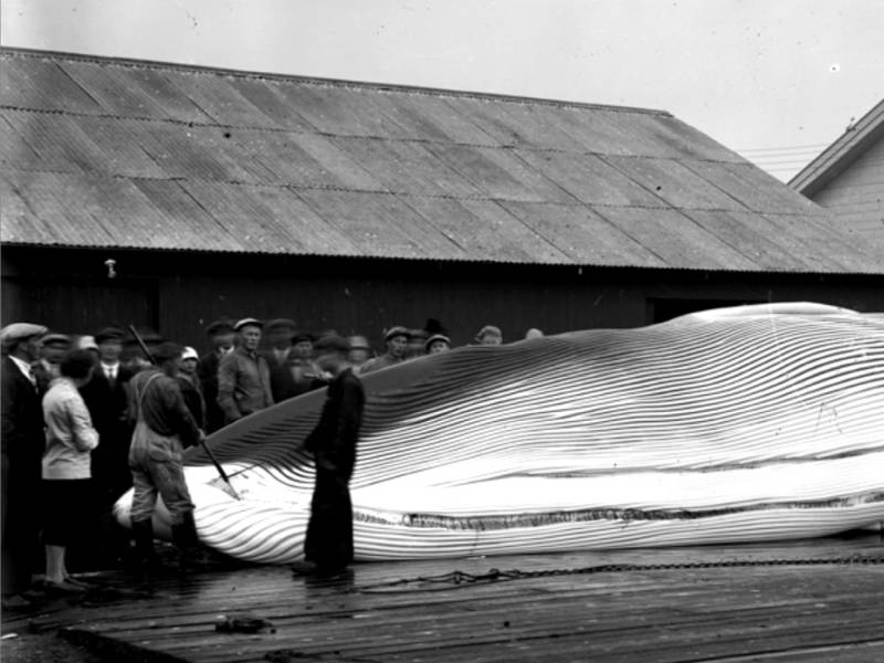
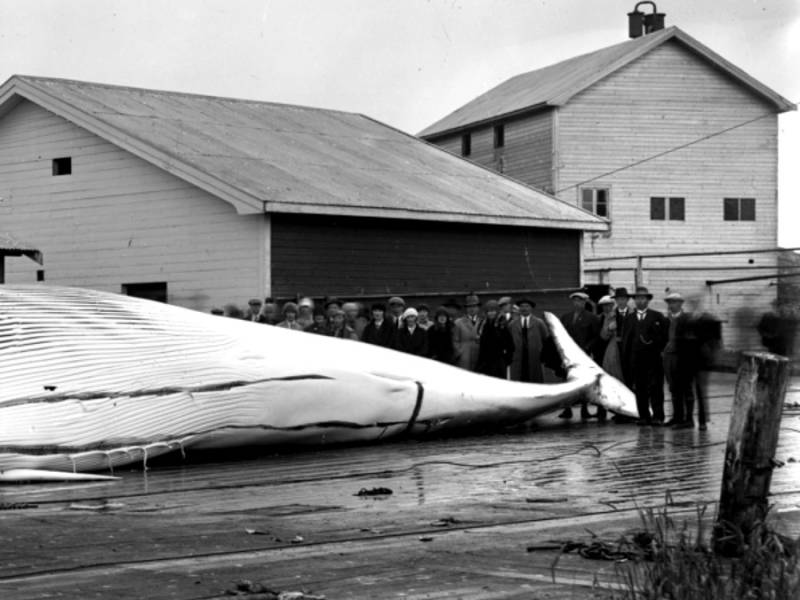
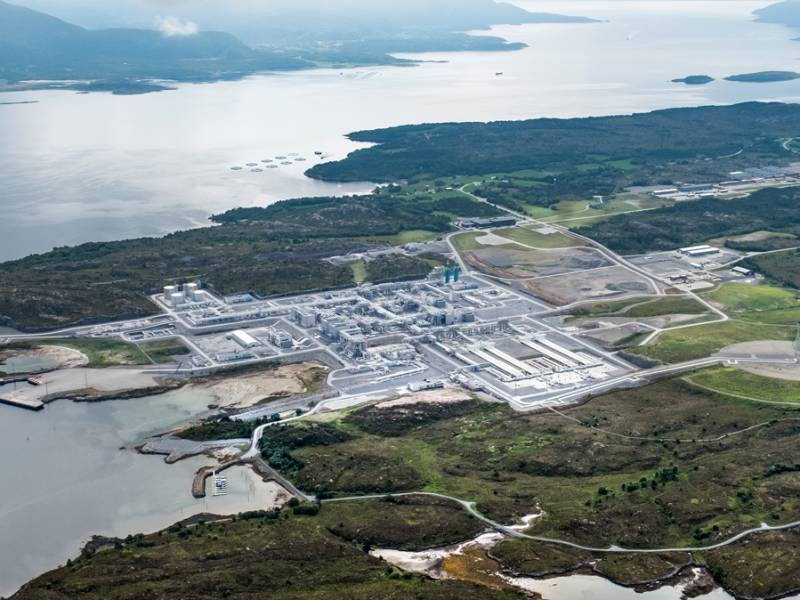
Across the fjord you can witness a real Norwegian gas adventure. Nyhamna, on the island of Gossen in Aukra municipality, is one of Northern Europe's largest gas terminals and is the landing site for gas from Ormen Lange. This process plant provides gas supplies to the UK and other countries in Europe. The Ormen Lange field is the confirmed second largest gas field in operation off the Norwegian coast and on the Norwegian continental shelf. From Nyhamna, gas is exported via the world's second longest subsea gas pipeline, Langeled, which extends approximately 1200 km from Nyhamna to Easington in England. Ormen Lange produces approximately 70 million cubic metres of natural gas per day. In Nyhamna, a whale station was built at Slettsanden, a bay with a sandy beach, in 1924. This was later called Kvälbukta (whale bay). The whaling station was closed in 1938. Whaling along the coast of Norway was actually banned in the period 1904-1924. During this time, however, Norway continued extensive whaling in the Southern Ocean. Today, whaling has largely ceased worldwide, although Norway and Iceland still carry out some sperm whale hunting.

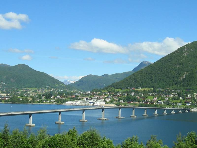
(Photo: wikipedia) The Sykkylven municipality has close to 4,500 inhabitants and is located on the southern side of Storfjorden at Sunnmøre. Sykkylven is on the outer part of the peninsula between Hjørundfjorden which lies to the west and Storfjorden to the east. Sykkylven was established in 1883 when it separated from Ørskog and got its current borders in 1955. The municipality is perhaps mostly known thanks to the furniture manufacturer Ekornes ASA; which is the largest furniture manufacturer in the Nordic countries with its brands Stressless and Svane. The Stressless factory at Ikornnes produces about 1,500 Stressless chairs daily. Sykkylven also has a varied repair industry which employs 17 percent of the employees in the industry. Sykkylven had a strong population growth during most of the post-war era, the population doubled between 1946 and 2016.
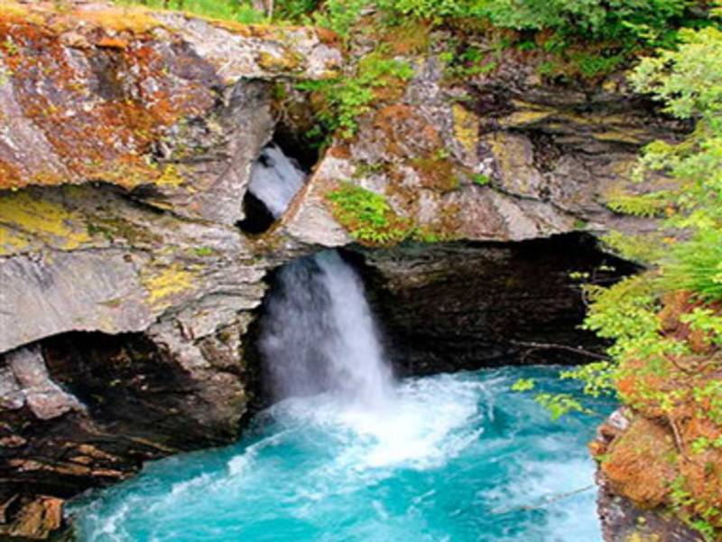
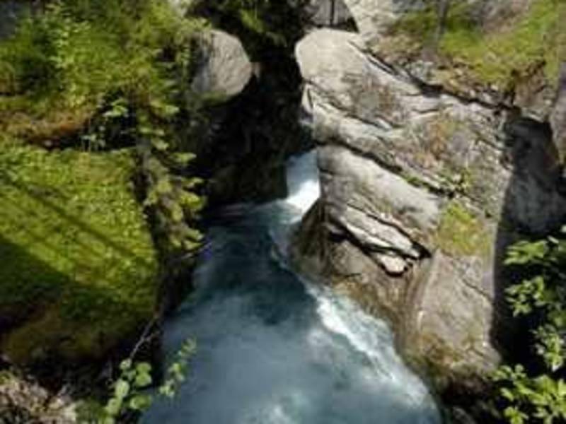
Gudbrandsjuvet is a ravine in the Valldøla river and is part of The National Tourist Route along county road 63 from Geiranger to Trollstigen. The gorge through which the Valldøla river passes is 5 metres wide and between 20 and 25 metres deep. The water has formed a system of potholes and intricate formations. The gorge is as deep below the water surface as above. According to a legend dating back to the 1500s, the ravine is named after a man called Gudbrand who ran off with a bride and escaped the groom by jumping across the ravine at its narrowest point. Gudbrand was declared an outlaw and spent the rest of his days in a stone hut in one of the sidevalleys above the ravine. That is how the valley got its name, Gudbrandsdalen, which is also its current name. The legend doesn't disclose whether or not he managed to take the bride with him across the ravine. There are good facililties to allow visitors to enjoy the view safely. There is also a café with an architectural style that matches the surrounding landscape.
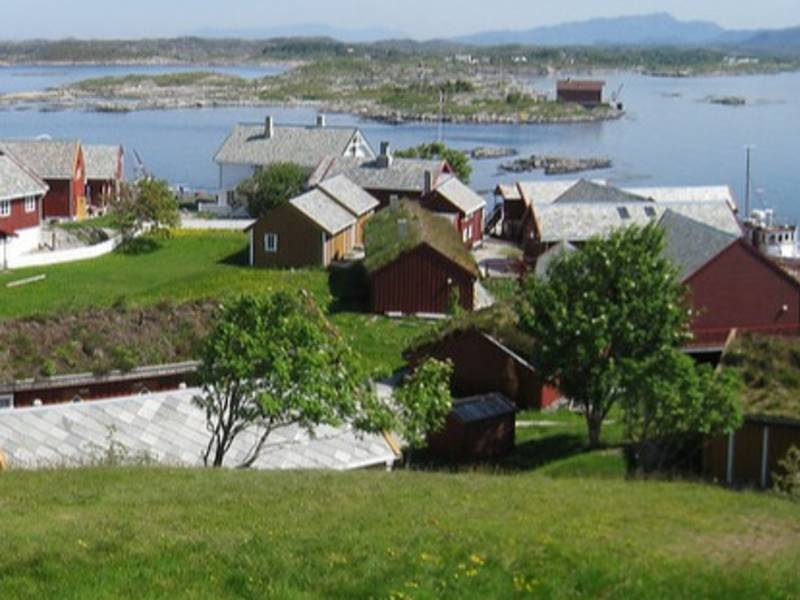
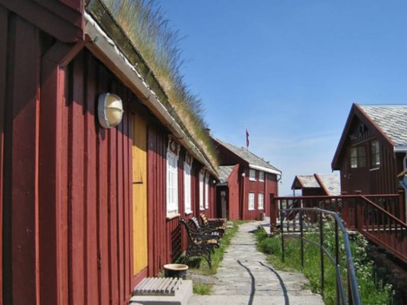
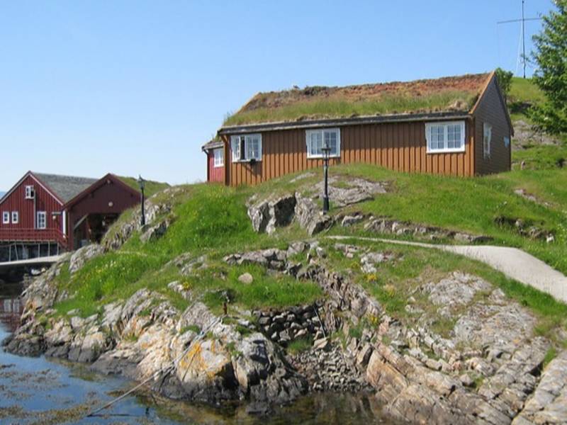
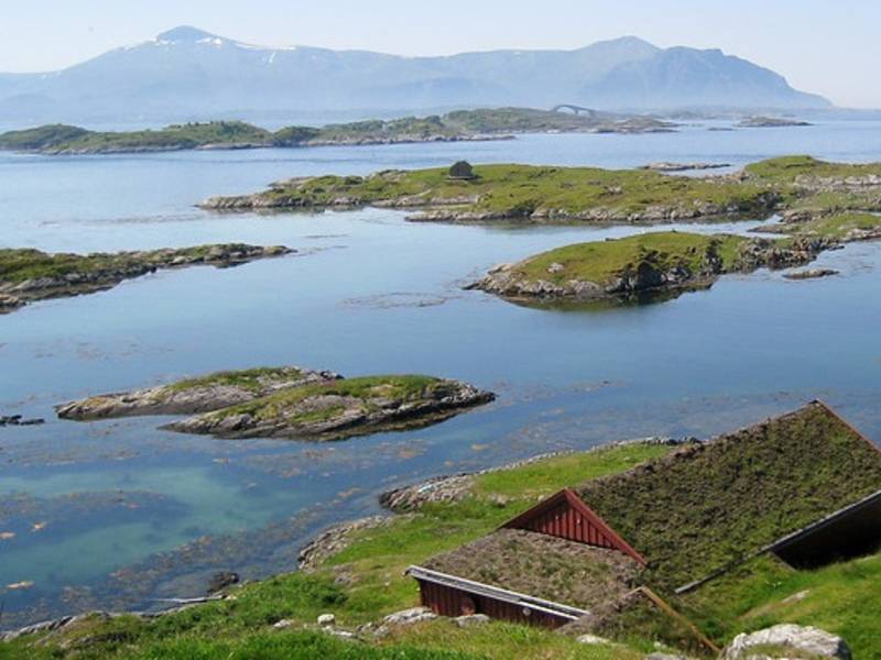
(Photo: Grete Kongshaug / Statens vegvesen) Håholmen has been a fishing village focused on klippfisk (dried and salted cod) since the early 1700s and was initially a dynamic community based on trade, fishing and maritime transport. Håholmen Sea Cottages today include a hotel, a conference centre, a café and a restaurant where guests move freely between the buildings — just like people did traditionally in vibrant fishermen's communities. Håholmen has a heritage worth preserving — this used to be a central meeting place for fishermen, sailors, salesmen and travellers. Its history and location on one of the most unsheltered parts of the Norwegian coastline adds to the unique character of the island. To a great extent, the 25 buildings have remained largely unchanged since the 18th and 19th centuries. This island of merely 50,000 m2 creates a natural separation between the open sea and the shipping lane on the outside. The landside of the island provides a beautiful natural harbour, protected from all kinds of weather. It was the adventurer Ragnar Thorseth and his wife Kari, who first came up with the idea of turning Håholmen into a hotel and conference centre. Together, they ran Håholmen until 1998. The Hall of Saga Siglar houses the Viking ship Saga Siglar, which Thorset used to circumnavigate the globe, and numerous souvenirs from this and other adventures. Exhibitions about old and recent history of Håholmen are also gathered here. The visit ends with a viewing of a film about Ragnar Thorseth's many adventures. The island is only accessible by boat. Check out the link if you want to book a hotel room, a table or just a ride across to visit the island.
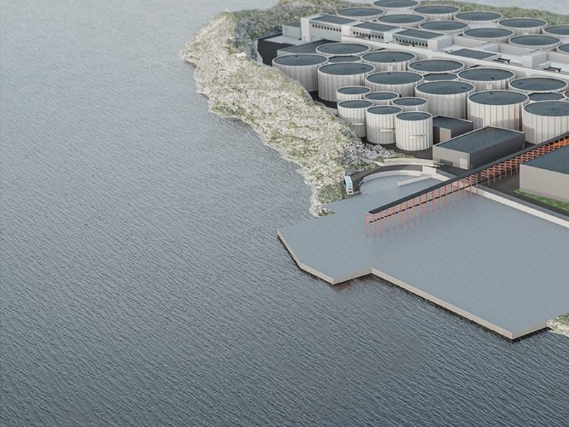
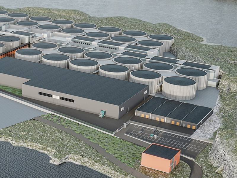
We now pass Indre Harøya, where there used to be a crushing plant that made gravel, stone and sand. The peninsula is now the site of a new, innovative venture where one of Europe's largest land-based fish farms is being built. At full capacity, the plant here can produce an enormous 70,000 tonnes of farmed salmon. A huge pumping system ensures that the salmon get the same nutrient-rich fjord water as sea-based fish farms. A land-based operation avoids the danger of farmed fish escaping and mixing with the wild salmon, which has at times been a major problem. Wild salmon hatch and spawn in fresh water, but otherwise live in salt water. Farmed salmon, on the other hand, live in captivity and never experience spawning in fresh water and rivers. Hatching takes place on land, where the salmon grows to a somewhere between 50 and 150 grams in weight before being released into seawater. After hatching, salmon are called fry, and they are called smolts when they approach 100 grams. Today, approximately 300 million farmed salmon and trout are harvested each year, to a value of 70 billion kroner. Most are exported and end up in restaurants and shops all over the world. You may wonder why salmon meat is red. The colour comes from their diet. Astaxanthin, a dye, occurs naturally in the crustaceans that wild salmon eat, so this is added to the feed of farmed salmon.
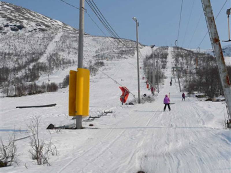

We are soon passing Fjellstova on Ørskogfjellet, Which was constructed in 1966 by an industrious fellow named Peder O. Bårdsgjerde. His son Olav relates that it started as a small cafe and later expanded with cabins and rooms to accomodate larger social gatherings. Fjellstova offers a restaurant, 15 cabins and a small campsite, and is open throughout the year. This is a great starting point for several activities in the area. The landscape here is well suited for hiking and rumor has it that there are plenty of blueberries to be found. During winter you will find several cross-country trails and excellent opportunities for other alpine activities. Necessary equipment can be rented, and you can also attend a skiing school. Mountain biking, fishing or just simply enjoying Norwegian nature are other options. Golfing and horseback riding are also offered inn the area.


We are now passing Kipersundet, whose name comes from 'kiper' (cooper), a person who made barrels. There was a great need for coopers, because barrels for storing and transporting fish were in demand in the fishing industry. Cod and herring were the most important fish species for the fisheries, but haddock, halibut, saithe, cusk and ling were also valued. It was said that cod was for the money and herring for the stomach, and if you had three barrels of herring in the back room, you could get through the winter. Cod has had the greatest economic significance, and stockfish (dried, unsalted fish) was the most important Norwegian export in the Middle Ages. Klippfisk (salt cod) arrived in the 18th century and largely replaced stockfish. Producing salt cod is a far more laborious process than making stockfish. First, the fish had to be gutted, folded and pressed, then layered with lots of salt. Finally it had to be dried on rocks, so the heather was torn off all the rocks in and around Bud so that they could be used for drying. In the evening and before rain showers, the fish had to be taken in and stacked until the next day. Klippfisk is enjoyed as a dish in its own right or as the main ingredient of bacalao.

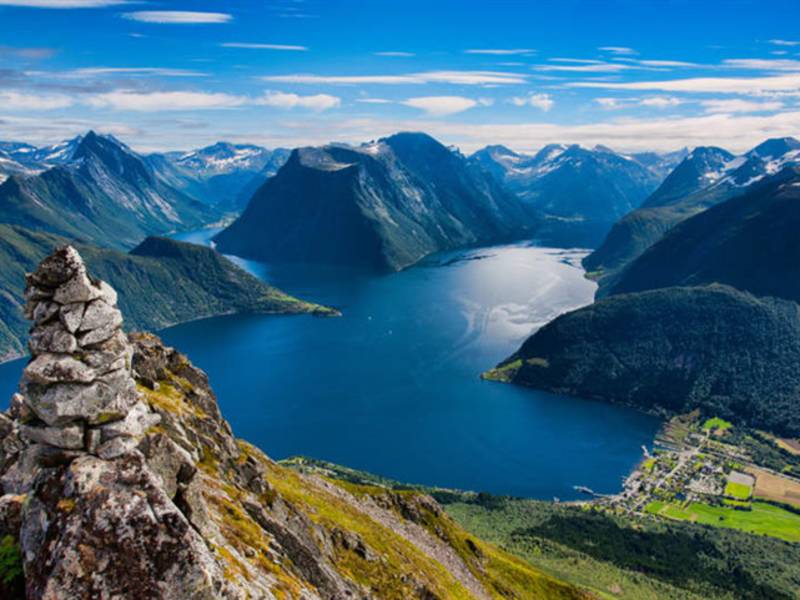
The Sykkylven municipality shares a border with Ålesund and Ørskog in Storfjorden to the north, on land it has a border with Stordal and Stranda to the east and Ørsta to the west. Most of Sykkylven is mountainous terrain with elevations of 1,586 metres above sea level. Råna in Hjelledalstindane is on the border with Ørsta to the southwest. These mountain areas are part of Sunnmørsalpene (The Sunnmøre Alps), and are, as the name suggests, characterised by an alpine landscape with tall, pointy mountains and a powerful relief. Sunnmørsalpene is a name that describes the alpine mountain areas around Hjørundfjorden in the municipalities of Ørsta, Stranda and Sykkylven with summits reaching 1,700 metres above sea level rising straight up from the fjord. This is a result of mainly four factors: the hard rock types in the basement rocks, the structures in the bedrock created by folding during The Caledonian orogeny, The Late Tertiary Period when the terrain rose and also the ice erosion through several ice ages in the last 900,000 years.
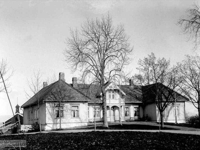
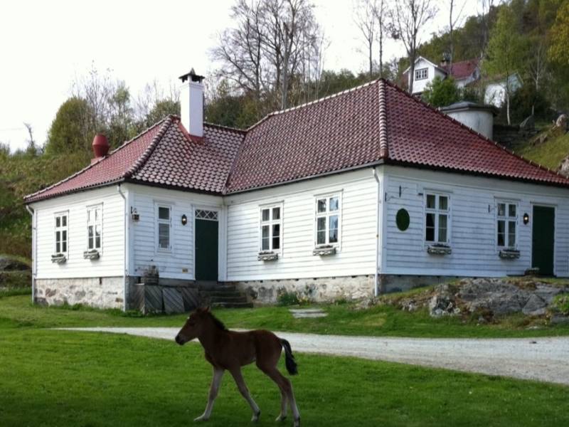
(Photo: Romsdalsmuseet / Digitalt Museum, moldegaard.com) In front you now, you can see Moldegård. Originally, the estate was called Molde, supposedly from Norse "moldar", plural for "mold". Molde became the home of Captain Johan Fredrik von Beverlov, commander of the Romsdal military Company. He settled there and acquired the main farm, in approximately 1677. During his time, the suffix -gård (literally "farm") was used to differentiate between the growing town and the surrounding farms, including Reknes. Moldegård was the County Governor's house from 1705 to 1729, in addition to two short periods in the 1750s, and was supposedly the inspiration for Ibsen's 1886 drama Rosmersholm. The main farm house has been the property of the Møller family since 1789 and was registered in the cadastre of Bolsøy until the two municipalities were joined in 1964.
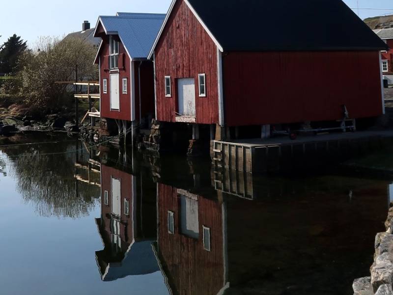
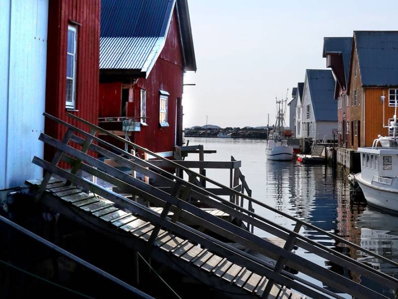
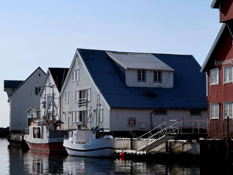
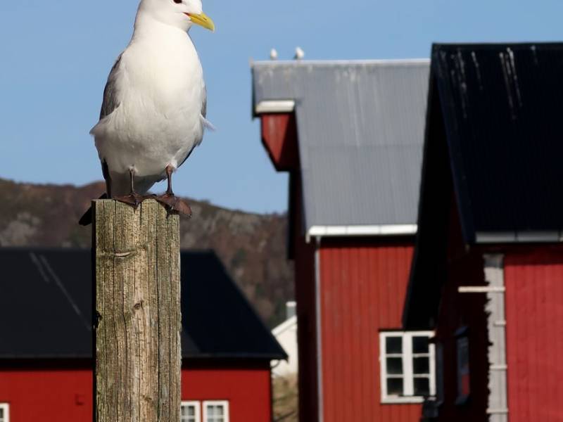
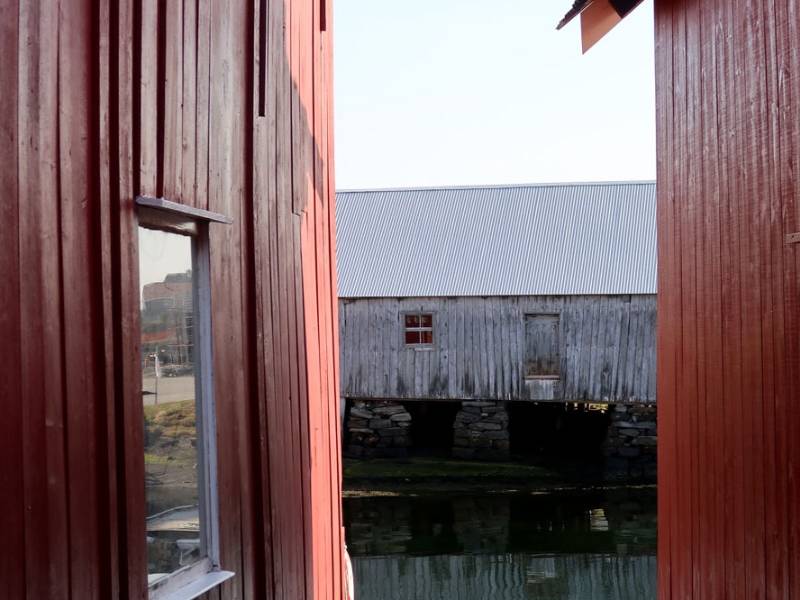
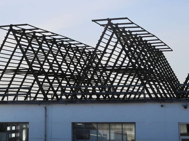
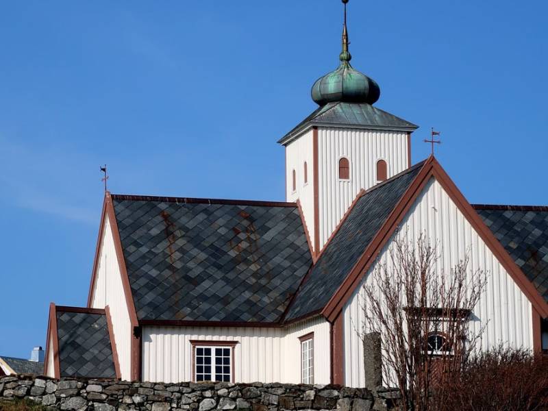
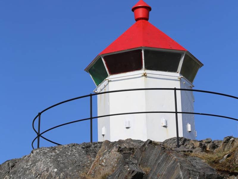
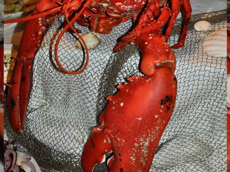
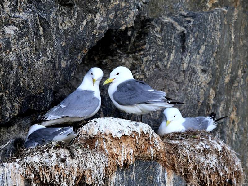

We are now at the well-known fishing village of Bud, in the municipality of Hustad, where a stunning seascape meets an equally stunning coastal landscape. Ancient history exists side by side with modern society here. This highly charming village attracts tourists from all over the world, for obvious reasons. It is a place where all can enjoy the tranquility of nature in fantastic surroundings, and enjoy local, fresh food from the village's several restaurants. Bud has a rich history, and in the 16th century it was one of the main trading places on the route between Bergen and Trondheim. Archaeological excavations show that there was activity in Bud as early as the 10th century, and that Bud was probably a fishing village in Viking times. Here you can explore Ergan Kystfort, a war history museum built around a German coastal battery from World War II, and the Coastal Museum, which is a cultural-historical exhibition spread over two floors. In the middle of Bud is a bird mountain that is home to a colony of kittiwakes during breeding season; it is a popular motif for photographs. At the far end, towards the sea, there is a coastal path spotted with information posts that tell the story of Bud. The name 'Bud' is derived from the word 'fiskebu' (fishing hut), and many such places are still referred to as 'buda'.

If you happened to travel through this area around the end of the 19th century, you would have seen several shipyards along the fjord. Shipbuilding has a long tradition in Vestnes. However, most of the former companies are now just a part of the history. Hammeraas, Salthammer, Stenødegård, Helland, Ødegård, Aas, and Vestnes are names that still make people in the area think about boat construction. Boats and ships of all sizes were once constructed and built in this area. One of the first most significant Norwegian boatbuilders was Lars Jensen Hammeraas, who was responsible for the construction of one of the largest wooden ships here toward the end of the 19th century, the full rigged ship Herman Lehmkul. It was 214 feet long and as tall as a three-story house. In fact, the boat was so large that they had to reorganize the factory area in order to get enough space for the building process.
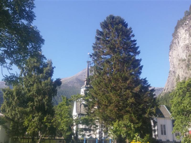
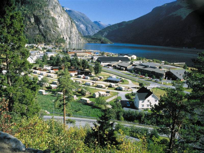
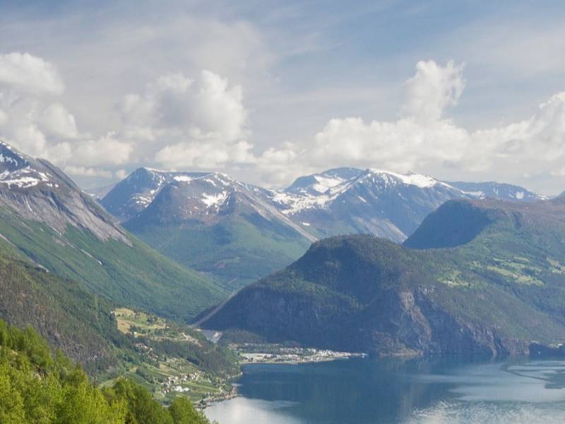
Valldal is a beautiful village by the fjord, halfway between Åndalsnes and Geiranger. The valley stretches about 30 km from Storfjorden to the top of Trollstigen. Large parts of the valley consist of flat and low-lying grounds with ideal conditions for agriculture, and Valldal is known for its strawberries. Valldal has about 1,000 inhabitants concentrated in an area of 10 km along the fjord. Sylte by Storfjorden is the centre of Valldal and the centre of the Fjord municipality. Valldal is the closest neighbour to two important tourist destinations in Norway, Geirangerfjorden and Trollstigen. From Sylte, the county road continues through a tunnel to Fjørå and then to Tafjord. The road to Tafjord passes through a tunnel below the place where a crag fell down and caused the Tafjord accident in 1934. The big wave reached all the way to Valldal. In these areas you can try rafting, canyoning, spectacular mountain hiking and mountain climbing. You can rent ocean kayaks or spend the day at Valldal activity park for adults and children, a few kilometres in the direction of Trollstigen. The river Valldøla which runs through the valley, is ideal for rafting, but it is also a popular spot for salmon fishing.
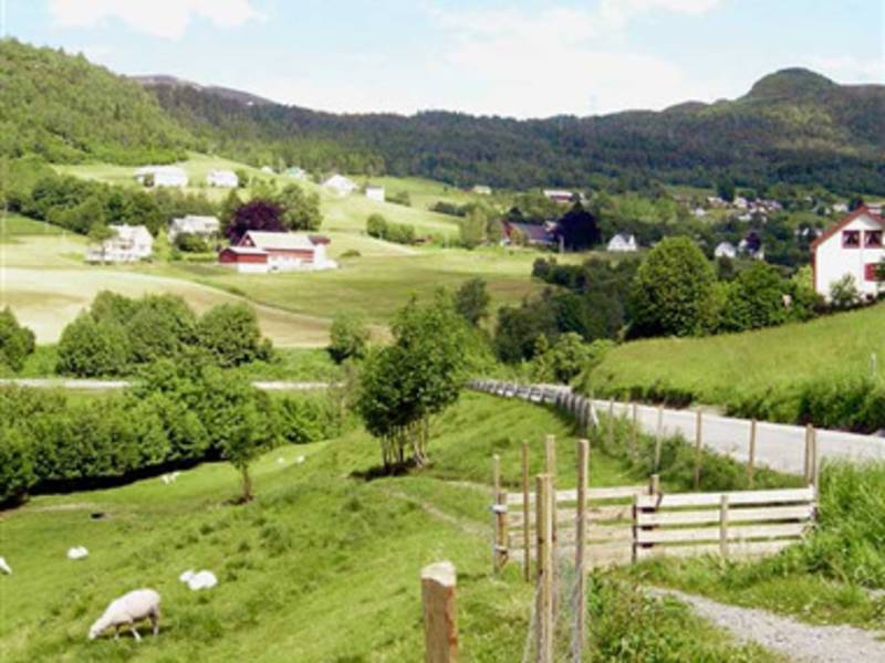

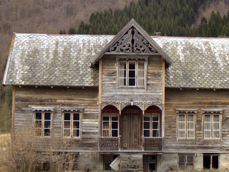
The bus now runs along the small village of Vaksvik with its fairytale nature and beautiful surroundings in the middle of the majestic Storfjorden and Vaksvikfjellet. The area, and Vaksvikfjellet in particular, is popular among hiking and outdoor enthusiasts from the whole region and offers many fine hiking trails and ski slopes for the whole family.
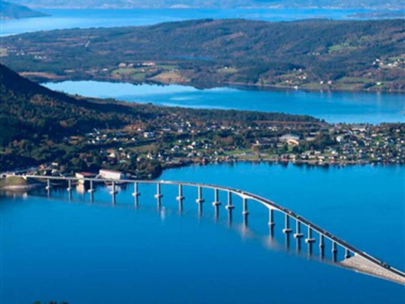
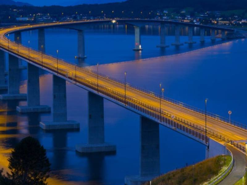
(Photo: Vidar Moløkken) When Prime Minister Erna Solberg opened Tresfjordbrua on October 24th, 2015, a large public party was arranged. For a long time residents and travelers had looked forward to this bridge to be completed. The opening took place during what the local residents call «a good break», an expression for the interval between the area`s numerous rain showers. People were enjoying themselves by cycling and walking across the bridge in pleasant spring weather during the hours leading up to the official opening. Many brought flags to celebrate this significant day. The Prime Minister was pleased that the drive was cut short by 40 minutes on her commute to visit family in Ålesund. Applause from some 2,000 attendants indicated that she was not alone in her joy. The most important aspect for the locals of course is the greater safety and mobility afforded to pedestrians and drivers alike by this new bridge in the area. The bridge’s construction, with its 1290 meters length, amounted to a price of 1.1 billion kroner. The mast of your boat can reach 30 metres up in the air before the boat is in danger of getting its mast shortened. The Tresfjord bridge is the longest road bridge in Møre og Romsdal and was the 6th longest in the country when it was finished.

We now arrive at the beautiful furniture village Stordal, which is nicely situated by Storfjorden and is known as the portal to Geirangerfjorden and the UNESCO world heritage area. Stordal is known for its furniture industry, but farming has also traditionally had a strong position in Stordal with good, natural conditions for stock and growing various vegetables. Tourism is also important for the village.
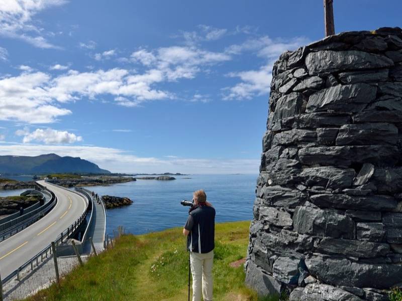
Photo: Jarle Wæhler / Statens vegvesen The Atlantic Road runs along a stretch of sea at the very edge of the Atlantic Ocean, offering a scenic drive across the many bridges and islands. Often described as the world's most beautiful road trip, this section of County Road 64 is part of the National Tourist Route stretching from Vevang in Eide to Kårvåg on Averøy. The construction of the Atlantic Road began in 1983 and was completed in the summer of 1989. In 2005 it was voted Construction of the 20th Century. The road replaced the ferry route between Ørjavik and Tøvik which until then had connected the two municipalities. The entire installation, more than 8 km long and consisting of eight bridges with a combined length of 891 metres, runs across multiple islets and reefs. The Atlantic Road ranks number 8 of the most visited nature-based tourist attractions in the country, with several hundred thousand visitors each year. The road has also been the setting for numerous commercials, and several car producers — among which Lamborghini — have filmed commercials here to promote their latest models. The entire National Tourist Route called the Atlantic Road is 36 km long and connects Kårvåg to Bud. The road offers a unique experience with its breathtaking coastline and original design, both of the road itself, the bridges and multiple installations along the way. This place is equally spectacular to visit in inclement and windy weather, as it is on a bright and sunny day. Look west, towards the vast open sea and Hustadvika, a stretch of the Norwegian Sea known for its many reefs and dramatic climate. In calmer weather, it is possible to spot both seals and whales in the area. Between Vevang and Bud, southeast of the Atlantic Road, experience the lush coastal landscape with heaths and bare rocks along the unsheltered and open coastline of Hustadvika. The experience is intense and provides an insight into a region exposed to many different types of weather: here you risk facing strong winds, or – when the weather is good – a sunset that will leave a lasting impression on your mind.
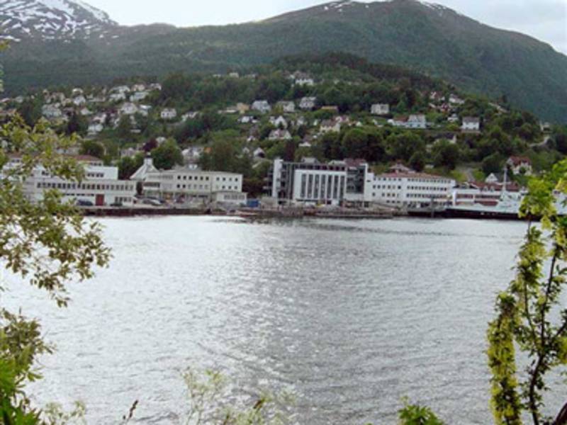

Stranda is a municipality with almost 3,000 inhabitants. The municipality shares a border with Stordal to the north, Norddal and Skjåk to the east, Stryn and Hornindal to the south, and Ørsta and Sykkylven to the west. Blåfjellet with an altitude of 1,775 metres above sea level, is the tallest mountain in the municipality. The part of the mountain called Åkerneset, which is expected to fall into the fjord, is in Stranda. Such a scenario has been dramatised in the 2015 Norwegian film Bølgen (The Wave). In 1732, a wave resulting from part of the mountain Skafjellet coming down, hit Stranda centre and carried away a small mountain farm. Storfjorden is called Sunnylvsfjorden southward from Stranda. Farther in, the fjord extends to the east, and becomes the well-known Geirangerfjorden. Hellesylt is at the end of Sunnylvsfjorden, while Geiranger is at the end of Geirangerfjorden. Stranda is known for its industry, especially within food and furniture. This is where Norway's most sold pizza is produced in large quantities, the frozen pizza Grandiosa. In Stranda, there are big companies such as Stabburet, Grilstad, Langlo, Slettvoll, Norsk Sjømat, in addition to many smaller companies. Tourism is an important source of revenue for the municipality, especially in Geiranger.
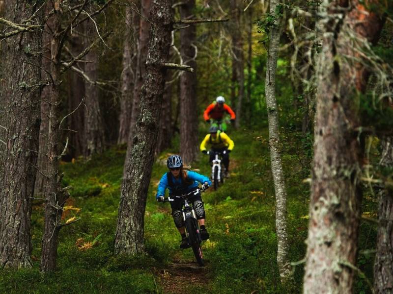

Photo: Mattias Fredriksson Photography AB - Visitnorway.com Liabygda has about 260 inhabitants and offers a marvellous view of Storfjorden. From here the road continues to Valldal, Trollstigen and Geiranger. There is also a ferry connection to the village of Stranda. The locally renowned Trollbryggeriet (The Troll Brewery) has its production facilities here.
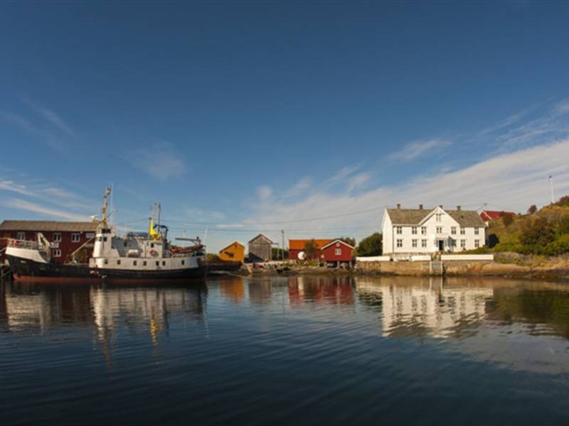

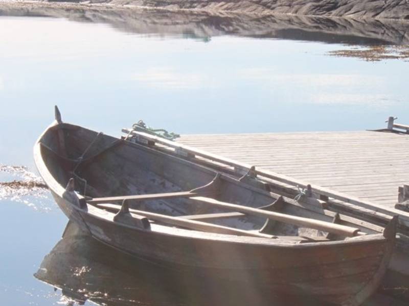
Photo: stromsholmen.no Strømsholmen Sjøsportsenter (Strømsholmen Sea Sports Centre), is a place for adventures above and below the water. Since 1981, the professional dive center Strømsholmen offered a unique blend of thrilling adventures to visitors from around the world. The Sea Sports Centre is situated on the Atlantic Road and offers accommodation, fishing, diving, seal safaris, sightseeing tours etc.

The Peer Gynt Gallery opened in June 2002, and is the intriguing result of one artist's active and strong involvement. Peer Gynt by Henrik Ibsen is interpreted by the late artist Oddvin Parr in 11 grand tree relief carvings from the main scene of this masterful piece. To the tones of Edvard Grieg and the renowned interpreter of Peer Gynt, Dennis Storhøi, who is behind the voice of a 35-minute long presentation of the exhibition in Norwegian and English, this is a unique artistic experience for theatre fans. The main purpose of The Peer Gynt Gallery was to exhibit Oddvin Parr’s enormous tree relief carvings which stretch from the floor to ceiling. Art and culture are central elements, and not least is the landscape in this area among the most beautiful landscapes Norway has to offer.
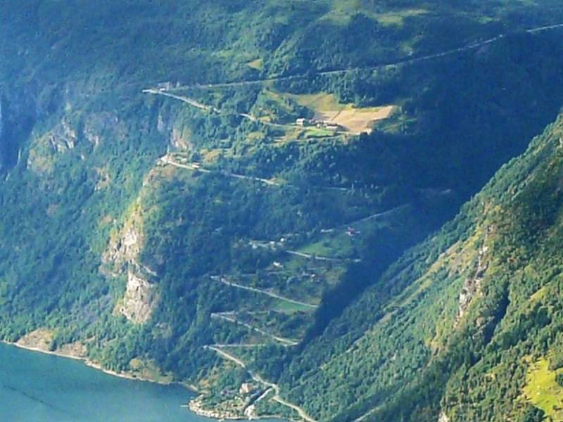
(Photo: wikipedia) Ørnevegen (The Eagle Road) is a section of county road 63 between Eidsdal and Geiranger, and has officially been a part of The National Tourist Route since 2012. The road stretches from the fjord at Grande to the mountain passage by Korsmyra and consists of 11 sharp turns, winding upwards along the steep mountain side. Ørnevegen got its name because of the many eagles in the area, especially around the highest turn, called Ørnesvingen. The road was first opened in 1955, and underwent considerable restoration and modernisation in 2012. Before that, the access to Geiranger, was by boat from Valldal and Eidsdal. Ørnevegen is now open all year round, and is the only road connection to Geiranger in the winter time, but it can sometimes be closed for shorter periods when there is a risk of an avalanche. The road has its limitations, for example, the maximum length of a vehicle is 15 metres, only a metre longer than today's buses. Some car manufacturers have used the road to test their newest car models' capacity to drive in winter conditions.
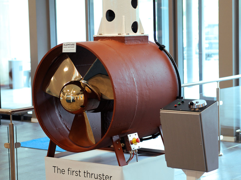
The Brunvoll quarter now consists of apartments and some business activity, but was until recently the location for the Brunvoll factory. The Brunvoll Bros.’ factory was founded on Harøya by the brothers Andreas and Anders Brunvoll. The workshop’s primary purpose was to repair and build motors for fishing vessels. Brunvoll also produced diesel engines and propellers. In 1918 production was moved to Molde when the brothers bought Engstrups Motorfabrikk, located at the ferry port. In 1965 Brunvoll Motorfabrikk delivered its first side propellers, also known as thrusters. This product’s technology would turn out to be the bright future of the company. Over the years, they have delivered thousands of advanced propeller systems to thousands of ships. Many Norwegian industrial companies chose to produce in low-cost countries, but Brunvoll has chosen to go against the flow and manufactures their products in Norway. In the period 2014-14 Brunvoll moved all their activities in Molde to Årø, by the airport, including a state-of-the-art competence centre. Brunvoll is among the largest private companies in Molde with about 330 employees in Molde. In addition, the company has facilities in Volda and Dalen.
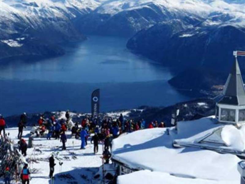
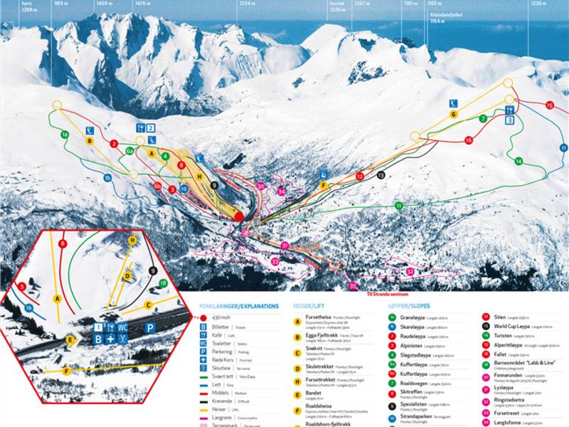
Strandafjellet is a magnificent skiing resort. It first opened in February 1957. The capacity at the time was 140 people per hour. The surface lift was powered by a station wagon engine running on gasoline. Today there is a cable car and a chair lift taking passengers to two different pavilions and starting points for different downhill slopes. The resort has been nominated several times for Norway's best skiing resort for off piste skiing. The cable car also runs outside the winter season and offers an incredible view of Storfjorden.
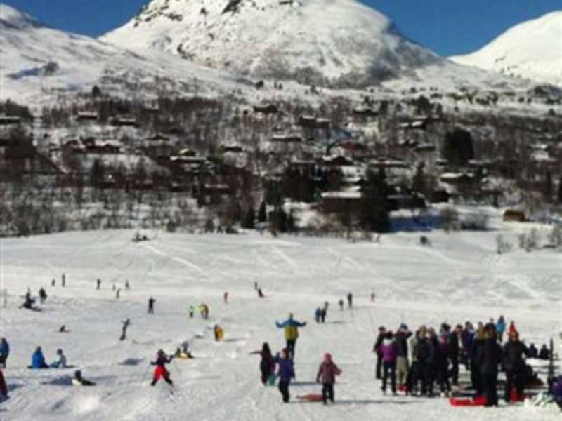
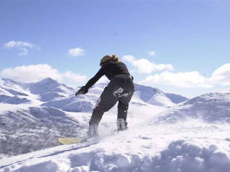
Fjellsetra is a skiing resort in Sunnmørsalpene, located in beautiful surroundings, offering full and family-friendly services. At Fjellsetra there are slopes and facilities for all ages and levels: children and families. There are trails to the top of the mountain. The alpine resort and the ski arena have 14 slopes, 35 km of prepared cross-country trails and great areas for snowboarding and playing in the snow. The facilities include a heated room, a restaurant, ski rental and 5 lifts.
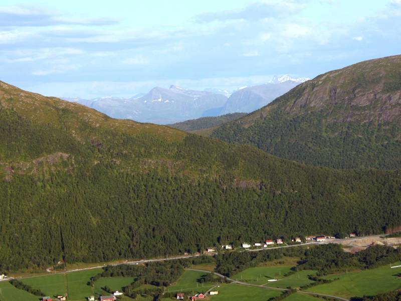
The village Malme has about 500 inhabitants located at the end of Malmefjorden, the innermost part of Frænfjorden. The village has a significant production facility for refrigeration systems used in industry, fishing, and aquaculture. The name Malme comes from the Norse name "Malmr", which means 'sandy moor' or 'gravel field'. The fjord is a favorite place for ice skating fans. As the fjord freezes over during winter, it turns into a fantastic skating rink which extends for several kilometers. When conditions are safe, it is possible to spend many hours on the ice and enjoy both nature and the food you bring along for a nice day out.
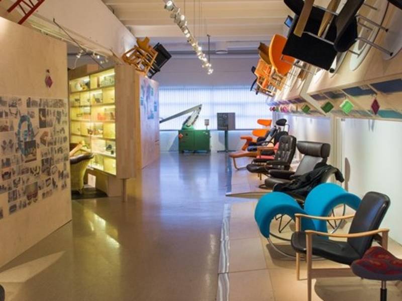

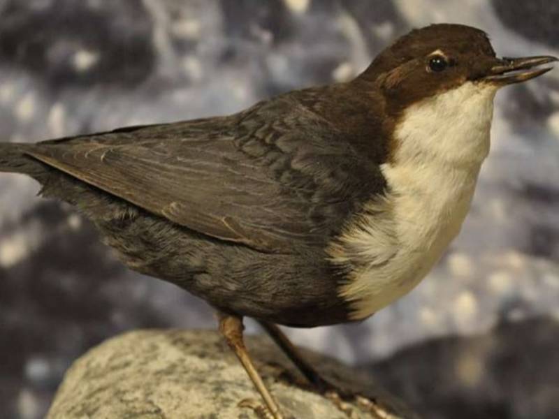
(Photo: Hallvard Sandvik, møbelmuseet) In Sykkylven Natural History Museum, you can take a closer look at 250 birds and animals living in western Norway. The exhibition covers a large span of time and shows plants, animals and birds living in the fjords close to the coast at Sunnmøre. Learn how the ice sheet retreated, and how birds, animals and humans followed. Watch birds swimming and wading, and experience the owl forest. In the forest, there are cunning hunters and diligent gatherers, among them are also humans who exploit nature's resources. You can also discover the history of Norwegian furniture industry, which stretches back more than a hundred years, in the Sykkylven Furniture Museum. Norwegian furniture was first produced for the domestic market. From 1960, the demand grew for Norwegian furniture to be exported. The permanent exhibition shows the development from basket weave furniture in the early 20th century to today's automated production of high-tech armchairs. The exhibition also shows a large selection of Norwegian design classics from the beginning of the 20th century up until today.
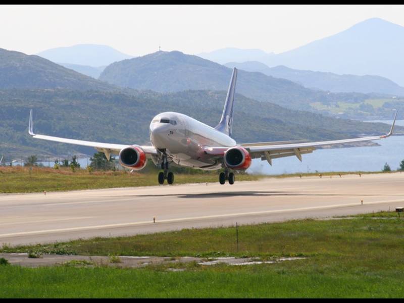
Kvernberget Airport is located in Nordlandet, one of the four islands that comprise Kristiansund. It was opened in June 1970. The number of travellers using the airport has increased since the Kristiansund mainland connection (Krifast) was opened in 1992, making it easier for the residents of the municipalities around Kristiansund to get to the airport. The airport is a base for transporting personnel to the Haltenbanken oil field off central Norway. Archaeological excavations were carried out in connection with the expansion of the airport in 2007. The archaeologists made sensational discoveries. Settlements were discovered from people who lived here 11,300 years ago! The material found showed close links to the North German/southern Scandinavian Ahrensburg culture, suggesting kinship or common ancestry. The Stone Age culture here in Nordmøre is called the Fosna culture. This culture existed just after the end of the last ice age. Their settlements were quite small. They lived in small tipi-like leather tents. These people were nomadic hunter-gatherers. Many flint arrows and blades have been found here. At the airport, 4300 artefacts were discovered in one location alone. Fosna sites have also been discovered at many other locations on Nordmøre.
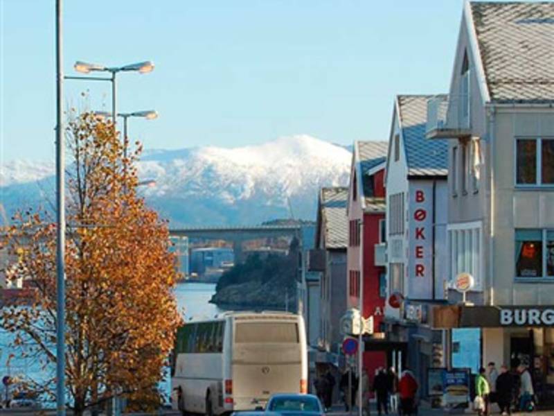

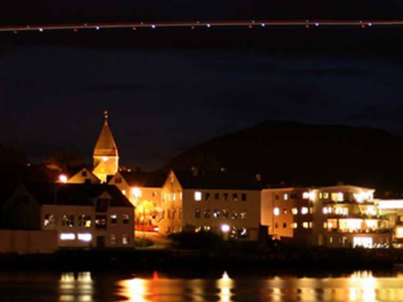
Kristiansund is a vibrant and beautiful city, famous for its opera performances and its salted cod. It is located on the stormy Atlantic coast, but it has a temperate natural harbour that lies between four islands. Today, the islands are linked with bridges, but in the past, inhabitants who wanted to cross from one area of the city to another had to take a 'Sundbåt'. These boats are still in operation and have been since 1876. Kristiansund gained its position as Norway's main point of export for salted cod in around 1850. The merchants' wealth was reflected in the beautiful houses that were built in the centre of Kristiansund. The city was bombed in April 1940. About 800 houses burned down, but some of the shops were saved. Modern architecture and colourful buildings rose from the ruins. Kristiansund is today a communications hub and a retail and business centre for the whole of Nordmøre, and since the 1980s, the oil industry has been important for the city, attracting oil refineries and the chemical and pharmaceutical industries. Kristiansund municipality has approximately 24,000 inhabitants, most of whom live in the town itself. (2019)
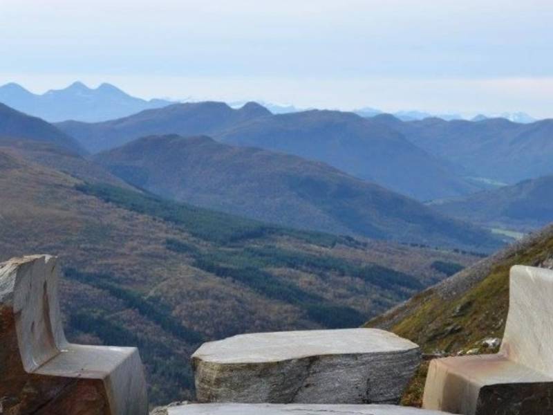
(Photo: Gunn K. M. Skotheim) Here, between the open sea and the high mountains, lies idyllic Eide, roughly midway between the towns of Molde and Kristiansund. The settlement was called Nordic rock territorNordic rock territory", when Eide had its own municipal status. Mining and stone masonry have long traditions and are significant to the area industry. The largest section of the Norwegian stone-processing industry is located here. Workshops and carpentry are important industries as well. Modern retail establishments and a well-developed public sector serve the community. A fare number are also employed in agriculture and fishing. The area offers various exciting nature experiences, for example Hustadvika, one of Norway's most wild and beautiful coastal strips. The Atlantic Road is an attraction itself. A great experience both in stormy weather and sunshine. Connected through eight bridges, this spectacular road stretches along the coastal landscape.
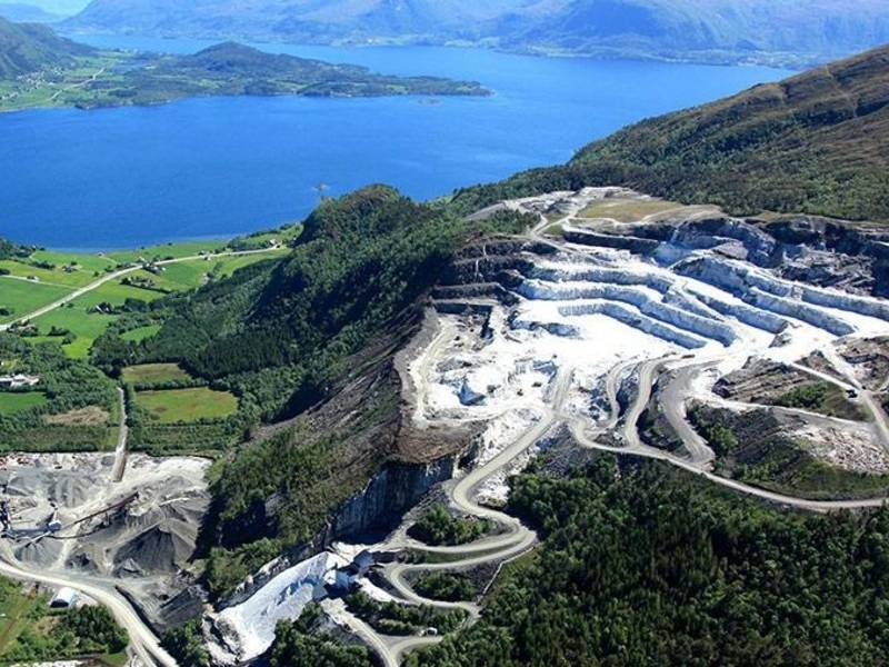
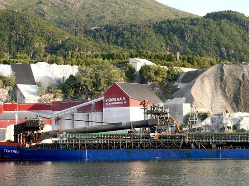
(Photo: kommunenvar.no) The big limestone quarry Visnes Kalk AS makes it their business to refine a type of marble known for its white color and high lime content. The founder of the company, Iver R. Eide, grew up at Eide. At the age of 18, he traveled to Hamar where he trained to become a mason. He later worked as a mason for the regional railroad company. When Ålesund burned down in 1904, it was decided that the city should be rebuilt with non-flammable material. This was an excellent windfall of opportunity for Iver Eide and his group of masons to work in Ålesund. Iver Eide learned that there were significant resources of both white and colored marble on Visnes in Eide. This area was close to the sea with good harbor conditions as well. Iver entered into contracts with all the land owners in the area and secured delivery of cut stone. That's how the stone industry started in Eide – all because of the Ålesund fire in 1904! Stone blocks from Visnes were cut for several large marble buildings in the area. Ålesund church, Rønneberggården in Ålesund and Bondeheimen in Trondheim are some of them. Nowadays calcite from Visnes is still widely used as a construction material as well as in the paper industry, as an abrasive, in agriculture, as a pigment, in pharmaceutics and sandblasting. Notre Dame Cathedral in Paris was sandblasted with marble from Visnes as this particular marble's soft structure minimizes damage to the underlying original but is strong enough to clean surface contamination.

Digerneset is a large business area of some 400,000 square meters, located in the municipality of Skodje, close to europavei 136. The area is clear proof not only faith moves mountains. Money also provides such opportunities. Before the area was developed, some 2,000,000 cubic metres of stone (about 16 times the amount of stone the mountain Mannen in Rauma County would yield were it to collapse) were moved there to prepare the land for expansive construction to accomodate the large number of companies moving in. The name Digerneset stems from the former agricultural land situated further down the fjord. The farm there used to play an important role in the area’s cultivation but is now no longer operating.
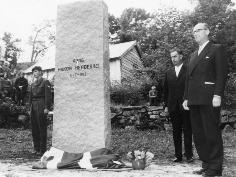
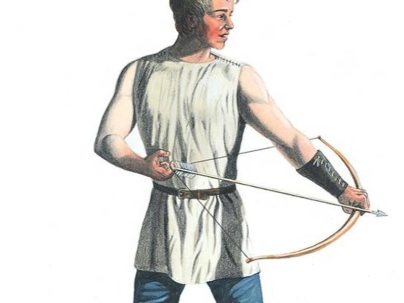
Herdebrei means “wide shoulder” - was a very young king in Norway from 1159 until he died at 15 years of age. After his father Sigurd and his uncle Øystein Haraldsson were killed by the third brother Inge Krokrygg (Inge Hookback), young Håkon was proclaimed king at the Øretinget in 1159, by the followers of Sigurd and Øystein. With Håkon as king they continued a bitter fight against Inge Krokrygg. In the end, young Håkon Herdebrei`s army was victorious and he was celebrated as king at Øretinget. He was too young though for the great task given. Håkon is referred to as a handsome man, tall and athletic with broad shoulders. Near Veøy and Sekken, Håkon had to fight in a dramatic naval battle that determined his fate. It was a violent engagement; in the confusion, Håkon saved himself on board… a wrong ship. There he was killed against promises to the contrary. For Erling Skakke (Erling the Lopsided) it was very convenient that the rival to his son Magnus was thus removed. Håkon`s body was first taken on shore in Romsdalen and buried there, according to Snorre`s Saga. Later the body was transported to Kaupangen in Trøndelag and buried in the stone wall in the Church of Christ. In modern times monuments were erected at Sekken and Veøy, in memory of the dramatic battle. Every year at Sekken, the «Herdebreimarsjen», a commemorative walk, is arranged in memory of Håkon Herdebrei.

Gautvik Steinindustri was started in 1935 by the brothers Alfred and John Gautvik. The company is one of the oldest stone quarries in the country. Raw material used in the local stone production is imported from India, Africa, Italy, Spain, Finland and Sweden. Stone from the mountains of Norway is also used; primarily natural stone from the regions around Larvik, Støren, Fauske, Otta, Oppdal and Alta. In addition to the production of gravestones, they specialize in the design and manufacturing of counter tops. The company has invested a great deal in order to stay at the forefront of their industry. Their speciality is employing a mix of modern technology along with experience and traditional craftsmanship.
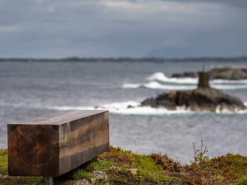
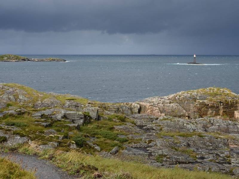
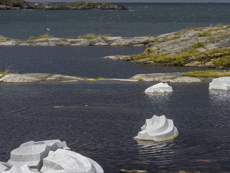
Vevang is a small village located by the Atlantic Road - next to the ocean. Vevang has its name since pre-Christian times and consists of "ve"meaning "sanctuary" or "holy place" and "vang"“, which means field. Several marked rocks and graves dating back to the newer Stone Age were discovered here. The village also features a number of bunkers from the Second World War when the Nazis occupied Norway. Among the islets and reefs at Vevang you can find a 90 meter long marble installation. The man behind the artwork, Jan Freuchen, named his sculpture "Columna Transantlantica" - the Transatlantic Column. The artwork consists of 39 parts spread around the landscape. This somewhat controversial work of art resembling the shape of a worm is made of real Italian marble. The artwork curves along the terrain and stretches out towards the open sea by the Atlantic Highway.
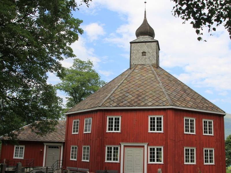
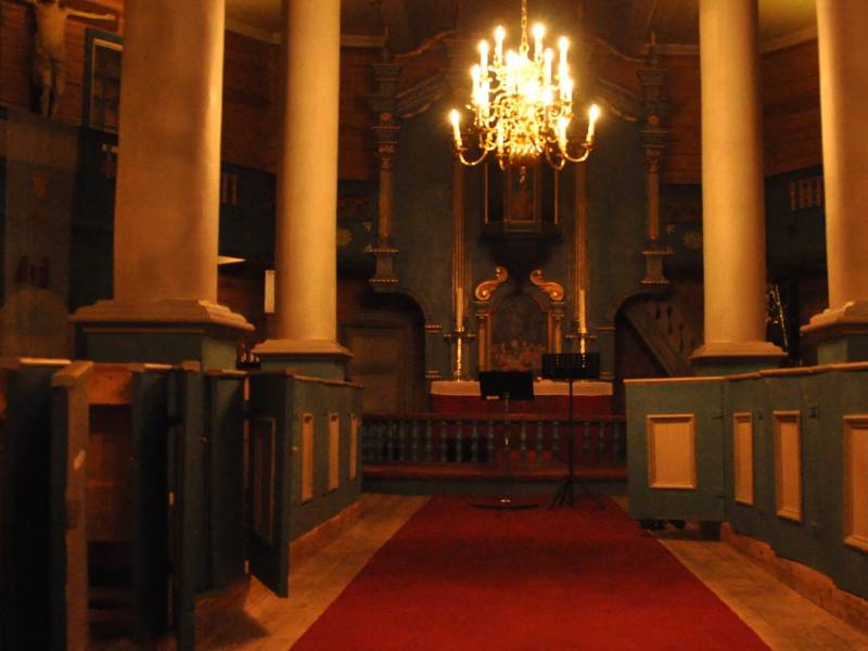
The Grytten Church was consecrated in 1732, the third church in Inner Romsdal parish. The first churches were erected about four kilometres further up towards Isterdalen. This area was given the name "Grytina". The parsonage and the nearby marketplace Devold are located here as well. The first church was a simple stave church, without any windows or tower. Some two hundred years later a new stave church was erected which also suffered environmental damage. n the Middle Ages Norway was a poor country under foreign rulers and had to endure consecutive years of poor yields, the plague and a harsh climate on top of that. When the third church was consecrated in 1732, it was built in a more updated form, as a so-called cross-church. However, due to excessive clearing of the woodlands nearby, the Rauma River began to erode the vegetation along its banks and carried a lot of sand downriver. The church was in danger of being buried completely. Eventually it was decided to move Grytten church to Veblungsnes, the new center in inner Romsdal. The originally small cross-church was turned into an octagonal church. The timber from the old church was used in the construction, along with new wood. This church was consecrated in 1829. Since then there have been a lot of improvements and additions.
Frei municipality was merged with Kristiansund in 2008. The municipality's old administration centre was in Rensvik, and the main road to Kristiansund passes through this village. Around the island of Frei are idyllic small islands and islets. Along the way you can see hillocks surrounded by woods and small green meadows. Highway 70 runs along the east side of Bolgvatnet, Kristiansund municipality's largest lake. Until around 1980, Bolgvatnet served as the main water source for Kristiansund and Frei. The water level is 66 metres above sea level. In the middle of Bolgvatnet lies a small islet called Rastholmen. On the west side of the lake we can see Freikollen, rising to 629 meters above sea level. This is the highest mountain in Kristiansund municipality. A rock type called gabbro abounds on Freikollen. This rock is tough and resistant, which enables the formation of high mountains and cliffs. From the top of Freikollen there is an incredible view to Kristiansund town and the outer parts of Nordmøre. It is a popular destination. About 20,000 people take the walk up here every year. It is also the site of an uphill race called 'Freikollen Opp'. Frei church is located on the south of the island. There is a memorial here of a battle that took place in 955. The battle was between Håkon the Good (Haraldsson) and the Eirikssons, who were the sons of Håkon's half-brother Eirik Bloodaxe. There are several graves and standing stones at Freihaugen and Freistranda near the church.

Rauma Ullvarefabrikk AS is located at the mouth of Rauma river at Veblungsnes. This very popular factory supplies yarns to enthusiastic knitters across the country. At the start, in 1927, there were only a few simple textile machines placed in a small seaside cottage with three employees. During World War II the factory was destroyed but soon re-erected. At the end of the 1970s a factory building was constructed. It provided space for an up-to-date production facility.
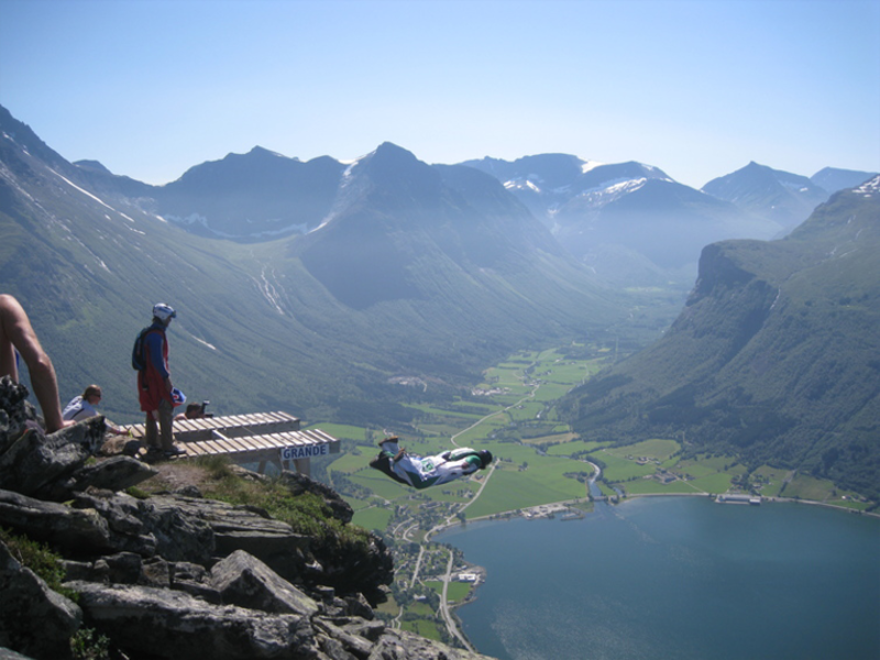
The village Innfjorden in Rauma municipality is undergoing development. It is located in a south facing bay only a few minutes drive from Åndalsnes town center. You will find both a kindergarten and a school here, serving between 4 and 500 inhabitants, as well as several companies. Organizations are thriving. Innfjorden Sports Team is one of these. The sports team offers adults and children various activities; athletics, football, skiing, a ballpark and plenty of space for everyone to engage in all kinds of exercise. A floodlit cross-country ski trail was constructed in the heart of Innfjorden. It is about 3.5 kilometres long and the light is on every night. Innfjorden offers one of Rauma's best beaches. It is centrally located next to the public assembly house at the bottom of the bay, with a park, benches, volleyball court and a long sandy beach. Next to the school you will find Innfjorden Bedehuskapell (Chapel). It is used for worship, christenings, funeral services, various meetings and organisational activities.
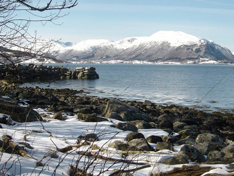
Batnfjord is part of Gjemnes municipality, and is a ten kilometre-long fjord extending from Batnfjordsøra and into Tingvollfjord. Farming and fishing have been a way of life here for a long time. The route along the fjord passes one farm after another, and one can also see the farms on the other side of the fjord. This agricultural area extends past Batnfjordsøra and farther up the valley. Batnfjordsøra is the administrative centre of Gjemnes municipality, which has a population of around 2629 inhabitants. (2019) Every autumn, there is a big agricultural fair at Batnfjordsøra, 'Dyregoddagene'. Around 200 exhibitors from all over Norway come to the fair, and the area teems with life. There are activities and entertainment for both adults and children. It's an agricultural adventure for the whole family. At the fair you can see many different kinds of livestock such as sheep, cows, goats and pigs, but also birds and even alpacas, a new area of investment for Norwegian farmers. You can ride a horse, or try your hand at various traditional crafts. New agricultural machinery and tractors are on display, and farmers share experiences with each other. Food stalls are set up, selling everything from good, old-fashioned Norwegian 'lefse' (a kind of pancake) and generous servings of real farm food, to modern cuisine and, of course, cakes and ice cream.
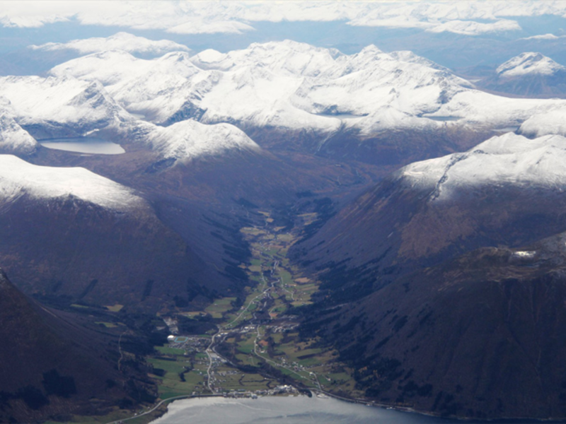
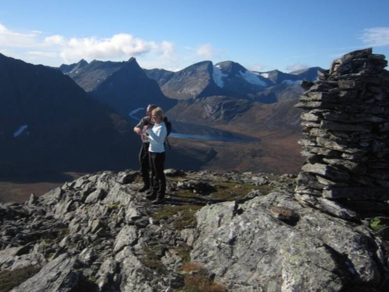
Måndalen, with its village center at Voll, lies at the southern end of the Romsdalsfjord and has about 900 inhabitants. In addition to traditional farming, the village has long-standing textile and wood industries. Most famous are Wenaas and Måndalen trevare. Several construction and transport companies are in operation here as well. The investment company Wenaasgruppen has its headquarters at Voll. It is one of Norway's largest hotel property investment groups. The village has a kindergarten and school, an old people`s home, a bakery and hairdressing salon. There is all the infrastructure you need for a longer stay: a grocery store with integrated post office, a marina, a quay tower, a cafe, a camping area, a beach and a gas station.
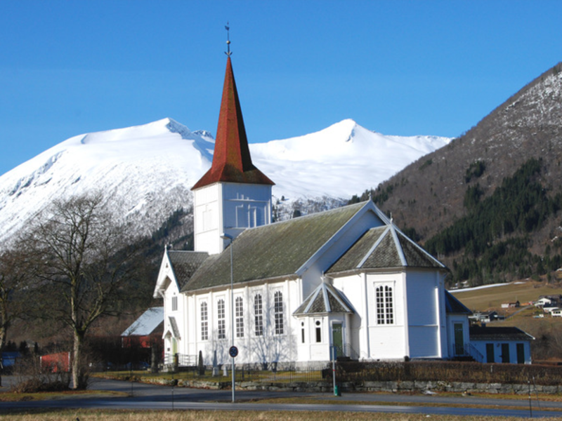
Voll Church is located here in Månalen. It was erected in 1896 and restored in 1964. The largest church in Grytten parish looks from the outside like a long church. It was built in the notched timber tradition by the architect G. Smith. In earlier times there was a church dating from 1674 on the same plot. As to objects of interest in the church, we can mention a Bible from 1732, an altar from 1648, and the organ of 1840, probably the oldest organ still in use in the country. Previously, the organ was in Mandal church but was moved to Måndalen in 1926. It was made by the organ builder Albrechtsen from Trondheim and shared a similar fate with many other instruments; it was in a very bad state. Fortunately, it was restored in connection with the church's 100th anniversary.
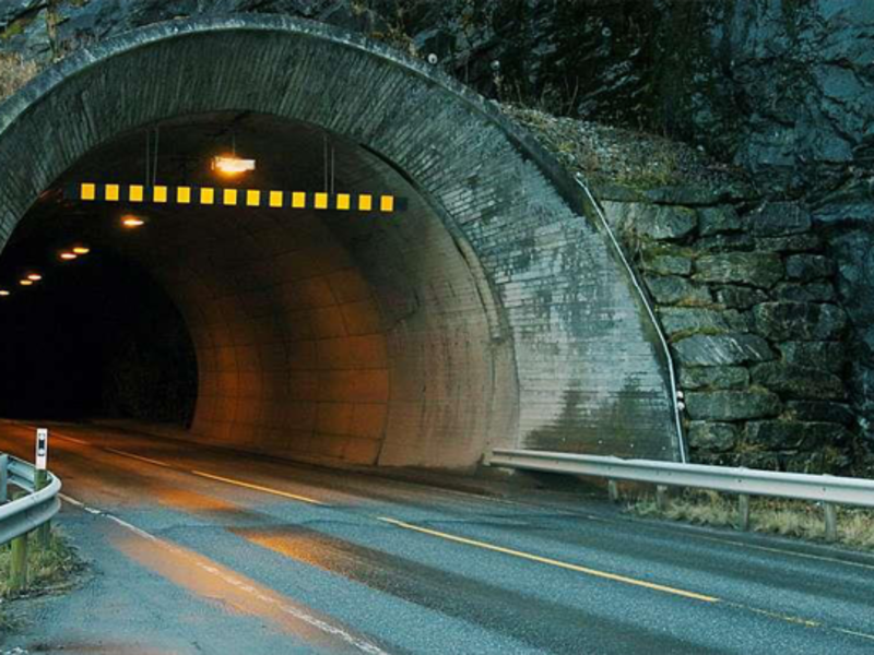
The Måndal Tunnel passes between Måndalen and Sauset. It is a bit over 2 kilometres long and was opened in May 1993. The Innfjord tunnel opened in November 1991 and together these two tunnels cost 225 million kroner. Måndalstunnelen replaced a section of the road previously endangered by landslides. The old road with its more basic safety precautions may still be used for travel. The new tunnel's aspect and construction differs a great deal from the older one. Before, there were rough-hewn mountain walls lining a dark, cavernous throughway. Now you will find a range of modern installations like frost protection, video surveillance, emergency telephones, fire extinguishers and more. In Måndalstunnelen there is also full coverage for DAB radio and emergency networks throughout the passage.
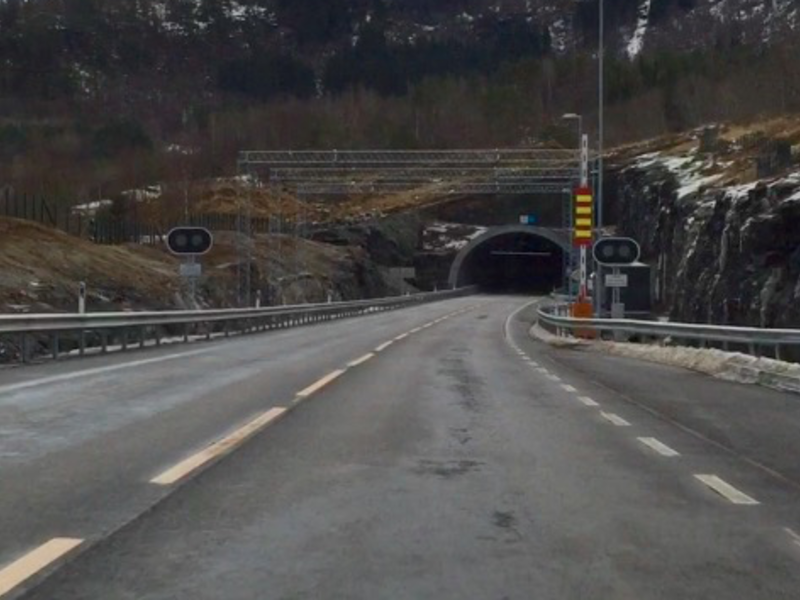
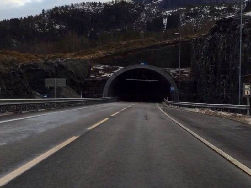
Danger from frequent landslides caused the previous road on E 136 between Rauma and Vestnes to be replaced by the new, almost 4 km long Vågstrand tunnel. When it was opened, a number of school buses had the honor of driving through first in order to emphasize the improvement to safety for commuting schoolchildren. This section is also part of the main route between South-East Norway and Sunnmøre - the so-called Eksportvegen (Export Road) – another good reason for keeping the road open and safe. The project's cost of NOK 500 million kroner is divided between the Norwegian state and motorists who contribute significantly with tolls. The old road was built during the Second World War and was in places so narrow that it was not wide enough for a median strip. Motorists experienced the road as unsafe and sometimes fatal when colliding with oncoming traffic at high speed. Now the modern road makes the journey a lot safer. Emergency spaces every 500 meters allow for even larger vehicles to turn around in the middle of the tunnel if necessary. Large fans ensure good air quality. In case of an accident blocking the tunnel temporarily, a continuous band of light on the concrete rails is triggered automatically.

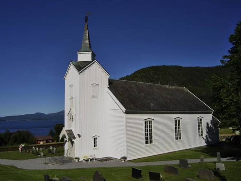
Vågstranda Church is located on Vågstranda in Rauma municipality. The church was built in 1870 as a so-called hall church or long church. It is built in traditional notched timber style, which was carved in Trondheim. The church was initially constructed in Trondheim, then the logs were marked and the building dismantled. The building materials were transported to Vågstranda and then properly set up in its permanent location by the architect and builder G. Olsen from Trondheim. The church was restored on its one hundredth anniversary 1970. The church bell was molded on Bolsøya by the local bell molder Christensen. The altarpiece, which dates back to 1870, was painted by Balle Lund from Trondheim. It was by Royal Decree of October 31, 1868 that permission was given to build Vågstranda church on Straume. The building was to be a church in the new Vågstranda parish. Prior to 1870, the people from Vågstranda belonged to the Veøy Old Church, on Veøya, in the Romsdalsfjord.
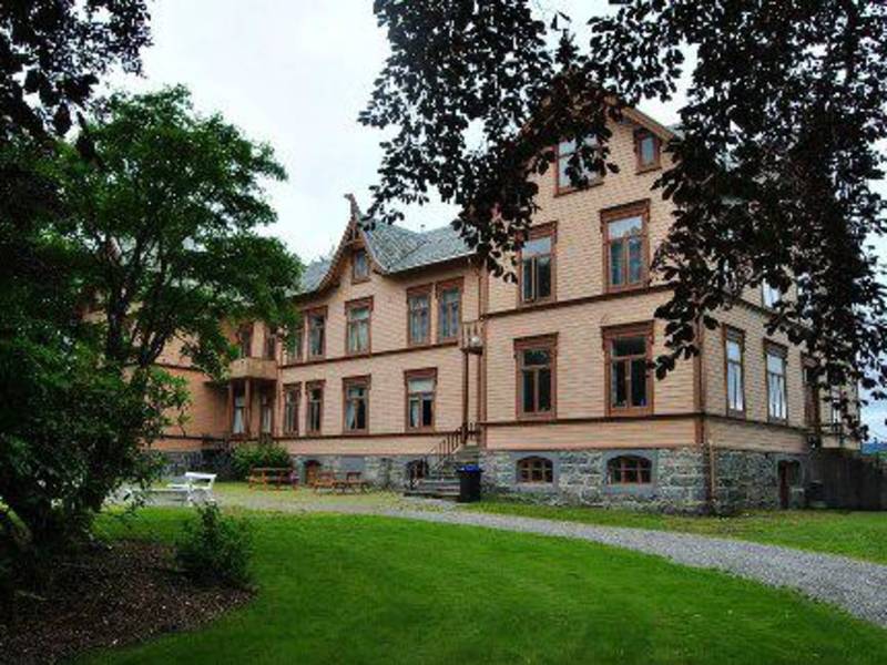
The agricultural museum at Gjermundnes is located on the premises of the old agricultural school from 1898. The museum is situated on what can be a natural stop halfway between Ålesund and Åndalsnes. From Gjermundnes you have a great panoramic view over to Molde town located on the other side of Romsdalsfjorden. The museum is set in a charming landscape with plenty of sunshine on clear days. You will also find a beautiful park here with a fine oak alley from 1758. The place has a long history and has been an important place for people throughout the ages. Among other things, a field of graves lies here dating from the Iron Age. Records show that even a king - Neskongen Gjermund - lived on the Gjermundnes farm in the Viking age. The agricultural school or Gjermundnes High School, as it is now called, is located here. It specializes in the study of traditional and modern agricultural practices. At Gjermundnes, pupils can acquire knowledge on aspects of planting and mechanical processes of farming. The school also offers comprehensive courses in equine science.
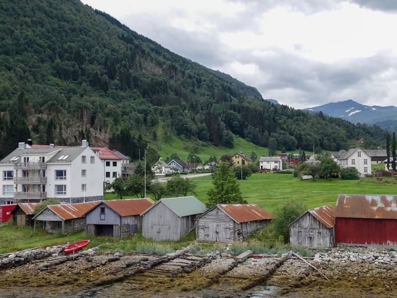
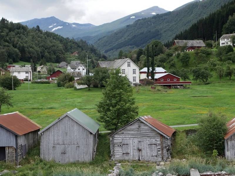
(Photo: Jarle Wæhler / Statens vegvesen) Soon we arrive at the small, charming village of Eidsdal, which lies on the south side of the Norddalsfjord. Eidsdal is primarily an agricultural village and most of the farmers run milk production from cows and goats. Here there is a ferry to Linge that takes you on to Ålesund or Tafjord and Trollstigen. The road up the valley goes to Geiranger and is part of the national tourist road Geiranger-Trollstigen. There is also a narrow road along the fjord that takes you to Norddal and on to the well-known tourist destination, Herdalssetra. There you can enjoy the mountainlife in beautiful surroundings as it has been for several hundreds of years.
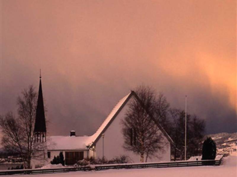
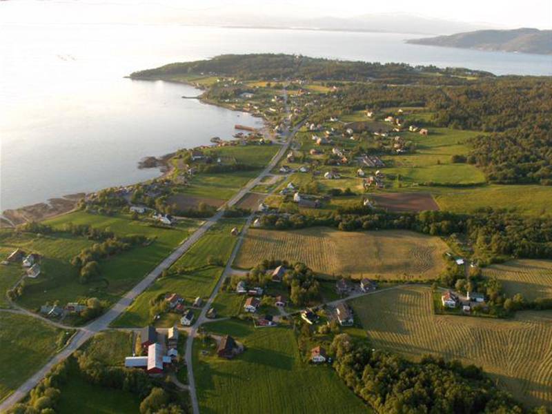
Close to 700 people call the village of Vikebukt their home. Vikebukt borders on the villages of Gjermundnes and Daugstad with a bridge linking it to the municipal center at Helland. The nearest town is Molde which is located on the other side of the fjord. Ålesund and Åndalsnes are reached within an hour's drive in either direction. A ferry used to run here connecting Vestnes, Molde and Vikebukt. It has been replaced with the Tresfjord bridge between Vikebukt and Helland. You still have to take a ferry from Vestnes to get to Molde. The road through Vikebukt is referred to as Eksportvegen and links the Ålesund region with traffic in and out of the county. People have lived here since the Viking Age. Vestiges (or remnants) from a number of caims exist which you can visit in the area. Archaeologists estimate the graves to originate from the Iron Age or the Viking Age. In 2004, a Viking woman's grave was discovered near Vike church. The grave contained pearls and gemstones of amber, weaving equipment and other accessories. The woman who was buried here was named "Husfrua på Vike" (The Housewife of Vike) by the archaeologists. It is believed that this must have been a woman of higher standing who was given a grave memorial here.
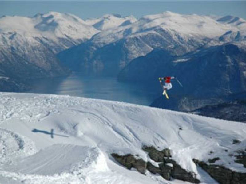
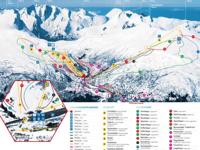
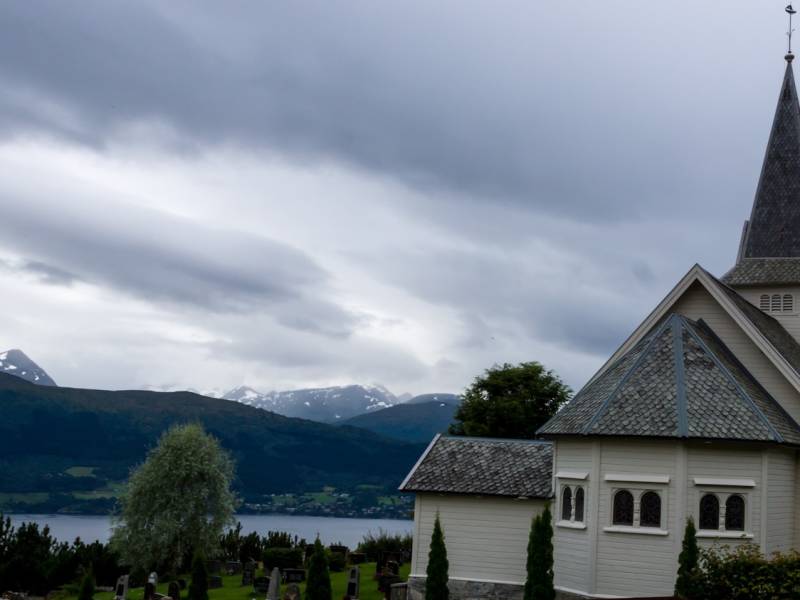
On the other side for the fjord you can see Stranda and Strandafjellet. Strandafjellet is a large skiing resort. It first opened in February 1957. The capacity at the time was 140 people per hour. The surface lift was powered by a station wagon engine running on gasoline. Today there is a cable car and a chair lift taking passengers to two different pavilions and starting points for different downhill slopes. The resort has been nominated several times for Norway's best skiing resort for off-piste skiing. The cable car also runs outside the winter season and offers an incredible view of Storfjorden..

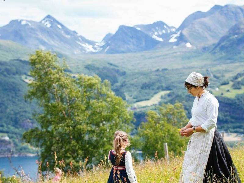
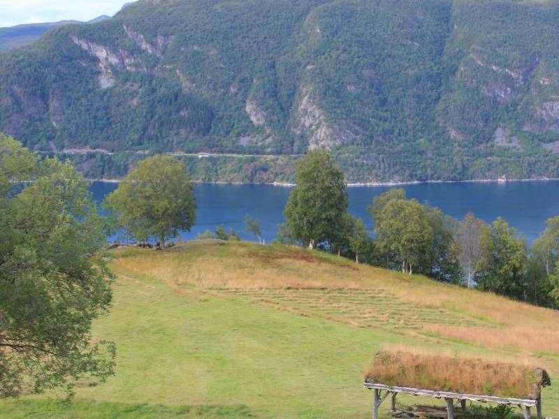
(Photo: ytsteskotet @ Facebook) On the opposite side of Storfjord, on top of a steep ledge, there is a small farm called Ytste-Skotet, where people have been subsistence farmers since the Viking Era. It has now been restored and is open to visitors. The farm lay fallow until 1989 when it was donated to the organization, Storfjordens Venner (friends of Storfjorden), and it is currently operated by the foundation, Ytste-Skotet, in collaboration with Sunnmøre Museum. The buildings and landscape have been restored, and now serves as a living museum, where both school groups and individuals are welcome. In the summer there is a boat from Dyrkorn every Sunday.

Looking west from the Omsund Bridge we can see Kristiansund, a small city with the Atlantic in the background. The Omsund Bridge connects Nordlandet to Freiøya. The new bridge and the old one are close to each other. The old bridge is from 1940, and is a listed structure, so will not be removed. The new bridge was completed in 1981. The old Omsund Bridge has a total length of 200 metres. It is a two-sided truss bridge, and dates from World War II. The bridge was commissioned in April 1940, but not officially opened because the country was invaded by German forces. When Kristiansund was bombed in late April 1940, the bridge was crucial for evacuation of the city. German aircraft tried to bomb the bridge, but it was not damaged. The Omsund Bridge was finally officially opened in 2005, no less than 65 years after its completion. Today, the bridge is open to pedestrians. The new bridge is a bridge for car traffic. This is a prestressed concrete bridge with a length of 292 metres, and the longest span is 100 metres. The bridge is part of Highway 70. Occasionally one can see anglers with their fishing rods under the bridge.
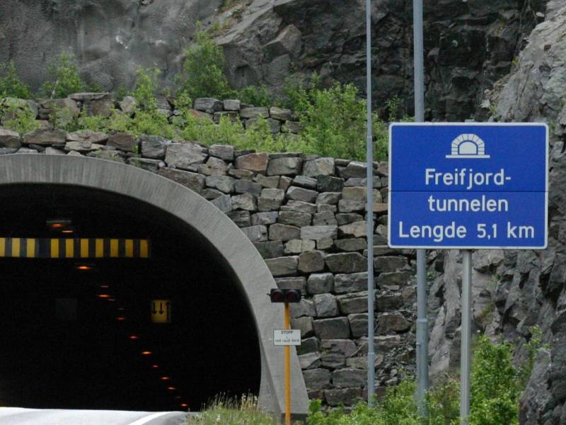
The Freifjord tunnel runs under the sea from Frei to Bergsøya. The tunnel is part of Krifast, Kristiansund's mainland connection. At its deepest, the tunnel dips to 130 metres below sea level. Its total length is 5086 metres. The Freifjord Tunnel was opened in 1992, at which time it was the world's longest undersea road tunnel. In the Viking Age, great power struggles took place over who had the right to be king of Norway. Harald Hårfagre had gathered Norway into one kingdom around the year 880, but after he died his sons fought over who should rule. Harald Hårfagre had sons with several women, and each son had an equal right to the throne. In the year 955 there was a big battle on the south end of Frei between the descendants of Harald Hårfagre. This battle is known as the Battle of Rastarkalv, which is the name of a field near where the church at Frei stands today. The combatants at Frei in the year 955 were Håkon the Good, Harald Hårfagre's son, and the sons of his half-brother, the Eirikssons, who came up from Denmark with a large army. Håkon had the smaller army, but he had the support of the local peasants, led by Egil Ullserk of Frei. The result of the battle was that Håkon the Good won, thanks to Egil Ullerk's peasant army. A historical play is performed up here some summers, but not every year. The play is called 'Rastarkalvspelet'.
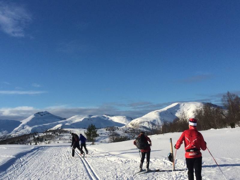
Fursetfjellet straddles the municipalities of both Molde and Gjemnes. The E39 between Molde and Kristiansund runs along this small mountain pass, which only reaches a height of 250 metres above sea level. Here the terrain is hilly, with open marsh areas, small ponds, and forests of pine and mountain birch. In summer, the area is great for cycling and hiking. You can hike across the open terrain or on car-free dirt roads. There are signposted trails. In winter, many people ski here. Skiing contests are arranged for both adults and children. At Fursetfjellet there is a surface lift for skiers. Parking is available, and the place is a great starting point for several pleasant mountain walks both in summer and in winter. The prepared ski trails go right up to the tree line. The highest peak is Raudheia, at 669 metres above sea level. The cairn at Raudheia marks the border between Molde and Gjemnes and between Romsdal and Nordmøre. The views here are fantastic. Facing south, you can see the Moldefjord and the mountain peaks from the west, to Trollheimen in the east. To the north are the fjords and mountains of Nordmøre. One of the hiking routes up to Kleivevatnet has been made suitable for those with disabilities.
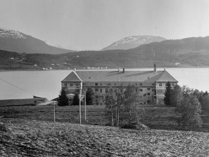
Oppdøl Hospital is a psychiatric hospital a that opened in 1913. The hospital was built up as a self-sufficient small community with its own farm, power generator, water system, kitchens, and bakeries, as was common for such institutions at that time. A large number of original artefacts remains from the earliest years the hospital was in operation, including medical equipment, work produced by patients, restraints and photographs. In addition, there is a large collection of agricultural machinery and other equipment used on the hospital farm. New buildings were gradually added. At its height, the hospital accommodated 500 patients. In the 1980s, Oppdøl psychiatric hospital was integrated with the county hospital in Molde. The capacity was reduced to just 60 day-care patients and several of the buildings fell into disuse. In 2014 Oppdøl was chosen as the new location for the Nordmøre and Romsdal county hospital. The new hospital is scheduled to be completed in 2024.
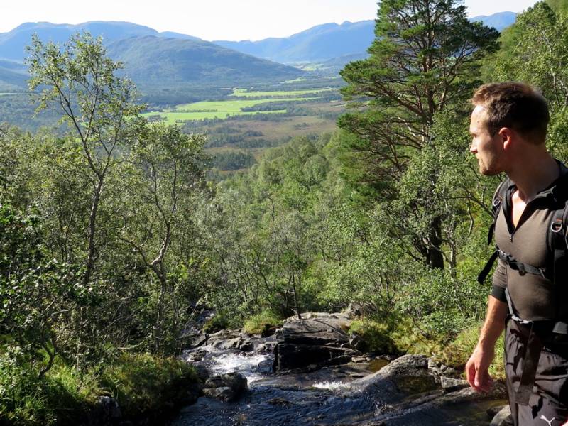

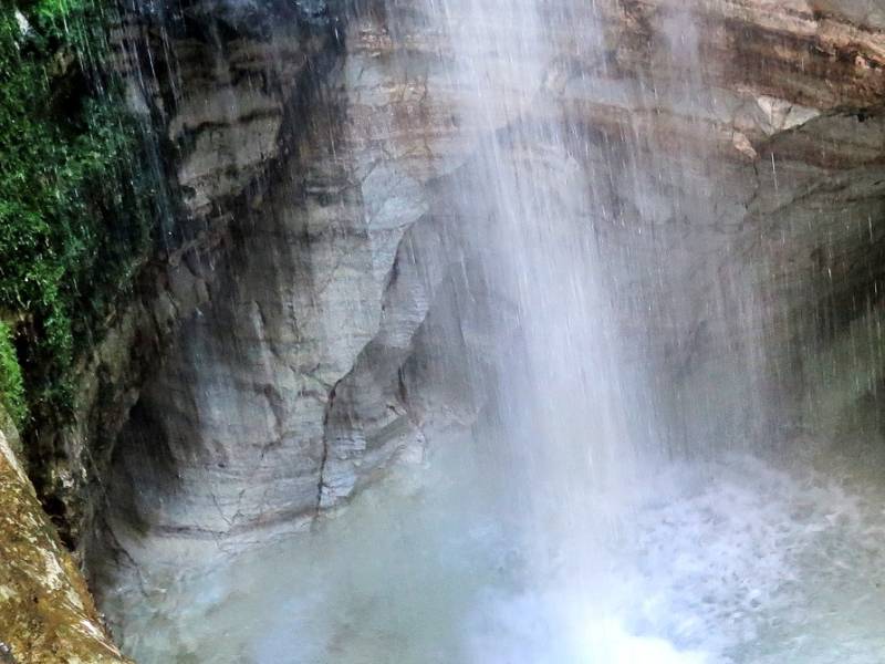
Trollkirka (the Troll Church) is a exciting marble and limestone cave, and it is a popular hiking spot. Trollkirka is the largest cave in southern Norway, with underground rivers and waterfalls. The main cave is 70 meters long. The uppermost cave consits of long passages, whereas the two other caves forms Trollkirka (the Troll Church). Trollkirka has a waterfall that falls 14 meters into a white marble pool. Trollkirka is located almost 500 meters above sea level. From the parking lot, a 90-minute walk along a marked path leads up to the cave. At the start the terrain is fairly moist, then gradually it becomes steep and rocky. A ladder leads down to the cave opening. When you get close to the cave opening you may feel a cold breath of air. Maybe it's the trolls inside the cave that breath on you? When you get inside, you hear the hypnotic sound of the waterfall. Follow the sound that drags you in. The inside is magical. If you are lucky, you may catch a glimpse of the troll dragon that is said to be living in the cave.